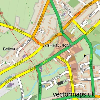
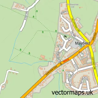
This Compton street map is a detailed vector street map covering a 750m x 750m area. Select a larger area to create and download your own vector street map of Compton.
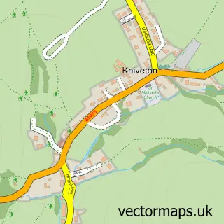
The 750-metre map sample for Compton covers 536 mapped buildings and approximately 28.7 km of road detail, of which 44 named roads are named. The immediate area includes 1 school, 2 GP surgeries within 2 miles and 5 MOT stations within 2 miles. The wider area around Compton features 1 food and drink venue, 3 hotels and 1 campsite within 2 miles. To create a larger or custom map of Compton, the map builder lets you define your own coverage area and download editable SVG, PDF and PNG files.
Create a larger editable map of Compton
Choose any area you need and generate a high-quality vector map instantly. Perfect for print, planning, design, business and personal use.

This Compton street map in Derbyshire is available as downloadable SVG, PDF and PNG map files, or as a printed map for planning, business, display, education, local information and design work. You can also create a larger custom map area using the map selector.
What this Compton map sample shows
Compton lies within Ashbourne Cp parish, part of Ashbourne North ward in the Derbyshire Dales District local authority area. The postcode geography for this area includes the DE postcode area, the DE6 postcode district and the DE6 1 postcode sector. Residents fall under the Nhs Derby And Derbyshire Integrated Care Board for NHS services.
Local features near Compton
Within 2 milesAmenities and services in and around Compton.
Administrative and postcode information for Compton
Compton lies within Ashbourne Cp parish, part of Ashbourne North ward in the Derbyshire Dales District local authority area. The postcode geography for this area includes the DE postcode area, the DE6 postcode district and the DE6 1 postcode sector. Residents fall under the Nhs Derby And Derbyshire Integrated Care Board for NHS services.
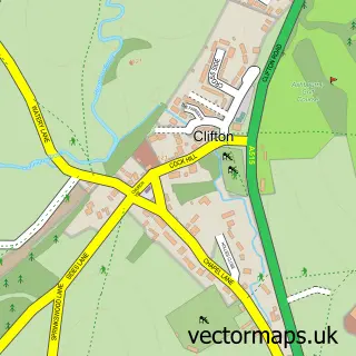
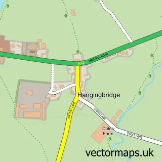
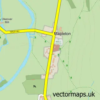
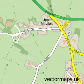
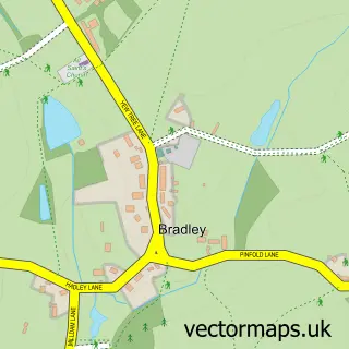
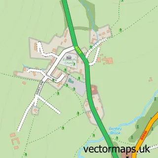
Nearby street map samples around Compton

More street maps in Derbyshire
750 metre map area coverage
Boundary, postcode and point of interest information for the 750m x 750m rectangle centred on this sample map.
Boundaries containing map centre
Constituency: Derbyshire Dales Co Const
County: Derbyshire County
District: Derbyshire Dales District
Icb: NHS Derby and Derbyshire ICB
Parish: Ashbourne CP
Police Force: derbyshire
Postcode District: DE6
Postcode Sector: DE6 1
Ward: Ashbourne South Ward
Nearby boundaries intersecting sample
Ward: Ashbourne North Ward
Postcode coverage
POI category counts
Home Developer: 5
Antique Store: 3
Beauty Salon: 3
Hotel: 3
Financial Service: 2
Advertising Agency: 1
Assisted Living Facility: 1
Building Supply Store: 1
Cafe: 1
Courier And Delivery Services: 1
Sample points of interest
- Design & I
- Cancer Research UK
- Justin Flint Antiques
- Kitty Macdonald
- Ashbourne Lodge
- Kristaltips Gel Nails
- Little Pink Beauty Room
- Sophie Alice Hair
- Peak Building & Renovations
- Su'per Nosh Catering
- Evri ParcelShop
- Apple Driver Training
Create a larger editable map of Compton
This sample shows only a 750 metre area. To create a larger map of Compton, use our map builder to choose your own coverage area, add titles and download editable SVG, PDF and PNG files.
Create a custom map of Compton