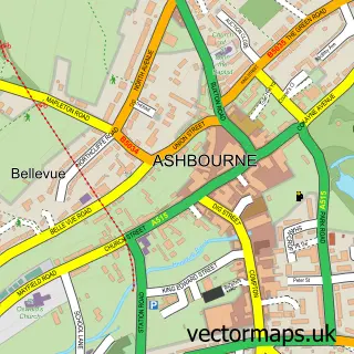
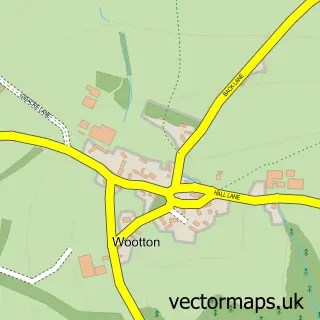
This Mayfield street map is a detailed vector street map covering a 750m x 750m area. Select a larger area to create and download your own vector street map of Mayfield.
The 750-metre map sample for Mayfield covers 261 mapped buildings and approximately 13.3 km of road detail, of which 15 named roads are named. The immediate area includes 2 GP surgeries within 2 miles and 3 MOT stations within 2 miles. The wider area around Mayfield features 3 tourism points of interest. To create a larger or custom map of Mayfield, the map builder lets you define your own coverage area and download editable SVG, PDF and PNG files.
Create a larger editable map of Mayfield
Choose any area you need and generate a high-quality vector map instantly. Perfect for print, planning, design, business and personal use.

This Mayfield street map in Staffordshire is available as downloadable SVG, PDF and PNG map files, or as a printed map for planning, business, display, education, local information and design work. You can also create a larger custom map area using the map selector.
What this Mayfield map sample shows
Mayfield lies within Mayfield Cp parish, part of Weaver ward in the East Staffordshire District (B) local authority area. The postcode geography for this area includes the DE postcode area, the DE6 postcode district and the DE6 2 postcode sector. Residents fall under the Nhs Staffordshire And Stoke-On-Trent Integrated Care Board for NHS services.
Local features near Mayfield
Within 2 milesAmenities and services in and around Mayfield.
Administrative and postcode information for Mayfield
The local authority covering Mayfield is East Staffordshire District (B), within the county of Staffordshire. The settlement lies within Weaver ward and Mayfield Cp civil parish. The DE6 postcode district and DE6 2 postcode sector serve the immediate area. NHS provision in the area is delivered through University Hospitals Of Derby And Burton Nhs Foundation Trust.
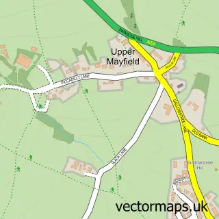
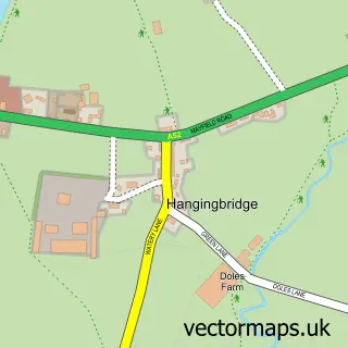
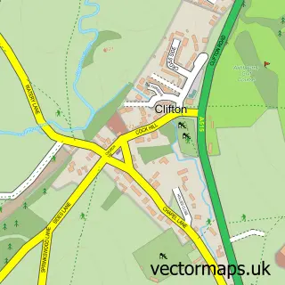
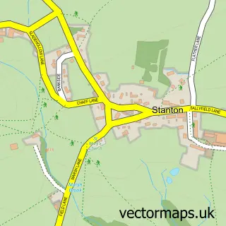
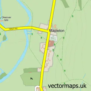
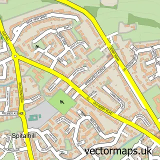
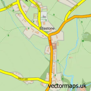
Nearby street map samples around Mayfield

More street maps in Staffordshire
750 metre map area coverage
Boundary, postcode and point of interest information for the 750m x 750m rectangle centred on this sample map.
Boundaries containing map centre
Constituency: Burton and Uttoxeter Co Const
County: Staffordshire County
District: East Staffordshire District (B)
Icb: NHS Staffordshire and Stoke-on-Trent ICB
Parish: Mayfield CP
Police Force: staffordshire
Postcode District: DE6
Postcode Sector: DE6 2
Ward: Stramshall & Weaver Ward
Nearby boundaries intersecting sample
No additional intersecting boundaries found.
Postcode coverage
POI category counts
Landmark And Historical Building: 3
Web Designer: 2
Church Cathedral: 1
Funeral Services And Cemeteries: 1
Lodge: 1
Professional Services: 1
Real Estate: 1
Scout Hall: 1
Town Hall: 1
Sample points of interest
- Church Mayfield
- A Slater & Sons
- Mayfield, Staffordshire
- Upper Mayfield
- Wetton
- Mayfield Snuggery
- Evri ParcelShop
- MocoShop Boutique USA
- 1st Mayfield
- Mayfield Memorial Hall
- Archimagic
- Build a Biz Online
Create a larger editable map of Mayfield
This sample shows only a 750 metre area. To create a larger map of Mayfield, use our map builder to choose your own coverage area, add titles and download editable SVG, PDF and PNG files.
Create a custom map of Mayfield