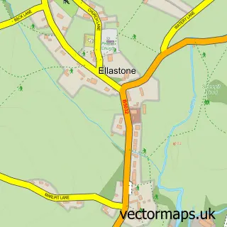
This Stanton street map is a detailed vector street map covering a 750m x 750m area. Select a larger area to create and download your own vector street map of Stanton.
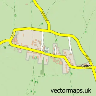
The 750-metre map sample for Stanton covers 93 mapped buildings and approximately 10.9 km of road detail, of which 8 named roads are named. To create a larger or custom map of Stanton, the map builder lets you define your own coverage area and download editable SVG, PDF and PNG files.
Create a larger editable map of Stanton
Choose any area you need and generate a high-quality vector map instantly. Perfect for print, planning, design, business and personal use.

This Stanton street map in Staffordshire is available as downloadable SVG, PDF and PNG map files, or as a printed map for planning, business, display, education, local information and design work. You can also create a larger custom map area using the map selector.
What this Stanton map sample shows
Stanton lies within Stanton Cp parish, part of Weaver ward in the East Staffordshire District (B) local authority area. The postcode geography for this area includes the DE postcode area, the DE6 postcode district and the DE6 2 postcode sector. Residents fall under the Nhs Staffordshire And Stoke-On-Trent Integrated Care Board for NHS services.
Administrative and postcode information for Stanton
Stanton lies within Stanton Cp parish, part of Weaver ward in the East Staffordshire District (B) local authority area. The postcode geography for this area includes the DE postcode area, the DE6 postcode district and the DE6 2 postcode sector. Residents fall under the Nhs Staffordshire And Stoke-On-Trent Integrated Care Board for NHS services.
Nearby street map samples around Stanton

More street maps in Staffordshire
750 metre map area coverage
Boundary, postcode and point of interest information for the 750m x 750m rectangle centred on this sample map.
Boundaries containing map centre
Constituency: Burton and Uttoxeter Co Const
County: Staffordshire County
District: East Staffordshire District (B)
Icb: NHS Staffordshire and Stoke-on-Trent ICB
Parish: Stanton CP
Police Force: staffordshire
Postcode District: DE6
Postcode Sector: DE6 2
Ward: Stramshall & Weaver Ward
Nearby boundaries intersecting sample
No additional intersecting boundaries found.
Postcode coverage
POI category counts
Agricultural Service: 2
Post Office: 2
Anglican Church: 1
Arts And Entertainment: 1
Computer Wholesaler: 1
Countertop Installation: 1
Farming Services: 1
Funeral Services And Cemeteries: 1
Professional Services: 1
Sample points of interest
- Ian Potter Marketing Services
- National Fallen Stock
- Stanton S.Mary
- Stanton
- Electric Spider
- Goldstraw Interiors
- Nfsco CIC
- The Equine End Of Life Service
- Stanton Post Office
- Stanton Post Office
- National Fallen Stock C I C
Create a larger editable map of Stanton
This sample shows only a 750 metre area. To create a larger map of Stanton, use our map builder to choose your own coverage area, add titles and download editable SVG, PDF and PNG files.
Create a custom map of Stanton