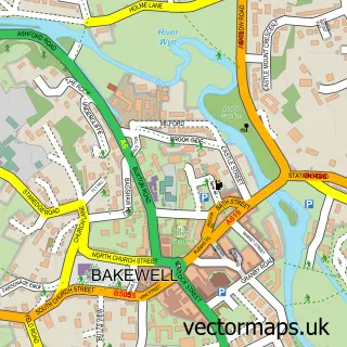
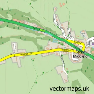
This Foolow street map is a detailed vector street map covering a 750m x 750m area. Select a larger area to create and download your own vector street map of Foolow.
The 750-metre map sample for Foolow covers 61 mapped buildings and approximately 9.6 km of road detail, of which 1 named road are named. The immediate area includes 1 GP surgery within 2 miles and 2 pubs. The wider area around Foolow features 2 food and drink venues and 1 campsite within 2 miles. To create a larger or custom map of Foolow, the map builder lets you define your own coverage area and download editable SVG, PDF and PNG files.
Create a larger editable map of Foolow
Choose any area you need and generate a high-quality vector map instantly. Perfect for print, planning, design, business and personal use.

This Foolow street map in Derbyshire is available as downloadable SVG, PDF and PNG map files, or as a printed map for planning, business, display, education, local information and design work. You can also create a larger custom map area using the map selector.
What this Foolow map sample shows
Foolow lies within Foolow Cp parish, part of Bradwell ward in the Derbyshire Dales District local authority area. The postcode geography for this area includes the S postcode area, the S32 postcode district and the S32 5 postcode sector. Residents fall under the Nhs Derby And Derbyshire Integrated Care Board for NHS services.
Local features near Foolow
Within 2 milesAmenities and services in and around Foolow.
Administrative and postcode information for Foolow
Foolow lies within Foolow Cp parish, part of Bradwell ward in the Derbyshire Dales District local authority area. The postcode geography for this area includes the S postcode area, the S32 postcode district and the S32 5 postcode sector. Residents fall under the Nhs Derby And Derbyshire Integrated Care Board for NHS services.
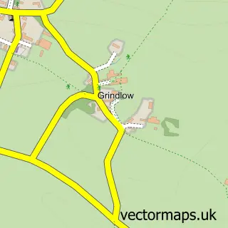
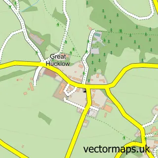
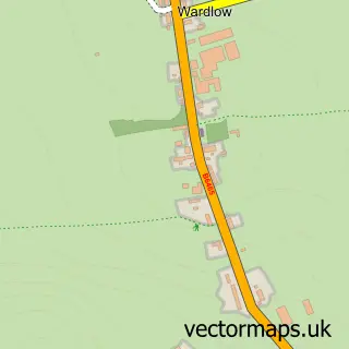
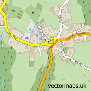
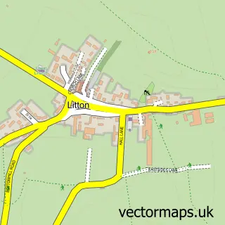
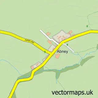
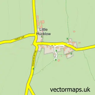
Nearby street map samples around Foolow

More street maps in Derbyshire
750 metre map area coverage
Boundary, postcode and point of interest information for the 750m x 750m rectangle centred on this sample map.
Boundaries containing map centre
Constituency: Derbyshire Dales Co Const
County: Derbyshire County
District: Derbyshire Dales District
Icb: NHS Derby and Derbyshire ICB
Parish: Foolow CP
Police Force: derbyshire
Postcode District: S32
Postcode Sector: S32 5
Ward: Bradwell Ward
Nearby boundaries intersecting sample
Parish: Eyam CP, Grindlow CP
Postcode District: SK17
Postcode Sector: SK17 8
Ward: Hathersage Ward
Postcode coverage
POI category counts
Pub: 2
British Restaurant: 1
Church Cathedral: 1
Community Center: 1
Education: 1
Flowers And Gifts Shop: 1
Fountain: 1
Kids Recreation And Party: 1
Sample points of interest
- Matilda's Eating House
- St Hugh's Church
- Foolow Village Community
- Peak Navigation Courses
- Frances & Rose
- Foolow
- Mountain Walking Holidays
- Bulls Head Foolow
- The Bull at Foolow
Create a larger editable map of Foolow
This sample shows only a 750 metre area. To create a larger map of Foolow, use our map builder to choose your own coverage area, add titles and download editable SVG, PDF and PNG files.
Create a custom map of Foolow