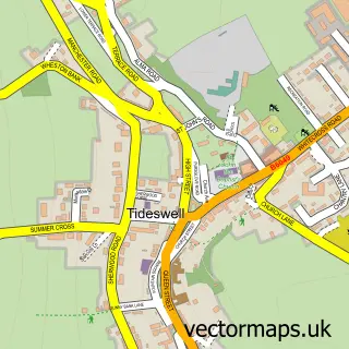
This Great Hucklow street map is a detailed vector street map covering a 750m x 750m area. Select a larger area to create and download your own vector street map of Great Hucklow.
The 750-metre map sample for Great Hucklow covers 70 mapped buildings and approximately 20.3 km of road detail. The immediate area includes 1 school, 2 pubs and 1 MOT station within 2 miles. The wider area around Great Hucklow features 3 food and drink venues and 1 hotel. To create a larger or custom map of Great Hucklow, the map builder lets you define your own coverage area and download editable SVG, PDF and PNG files.
Create a larger editable map of Great Hucklow
Choose any area you need and generate a high-quality vector map instantly. Perfect for print, planning, design, business and personal use.

This Great Hucklow street map in Derbyshire is available as downloadable SVG, PDF and PNG map files, or as a printed map for planning, business, display, education, local information and design work. You can also create a larger custom map area using the map selector.
What this Great Hucklow map sample shows
Great Hucklow lies within Great Hucklow Cp parish, part of Bradwell ward in the Derbyshire Dales District local authority area. The postcode geography for this area includes the SK postcode area, the SK17 postcode district and the SK17 8 postcode sector. Residents fall under the Nhs Derby And Derbyshire Integrated Care Board for NHS services.
Local features near Great Hucklow
Within 2 milesAmenities and services in and around Great Hucklow.
Administrative and postcode information for Great Hucklow
Great Hucklow lies within Great Hucklow Cp parish, part of Bradwell ward in the Derbyshire Dales District local authority area. The postcode geography for this area includes the SK postcode area, the SK17 postcode district and the SK17 8 postcode sector. Residents fall under the Nhs Derby And Derbyshire Integrated Care Board for NHS services.
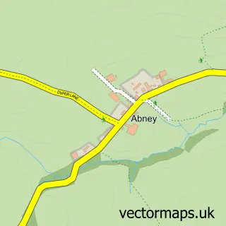
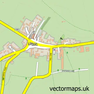
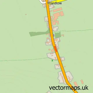
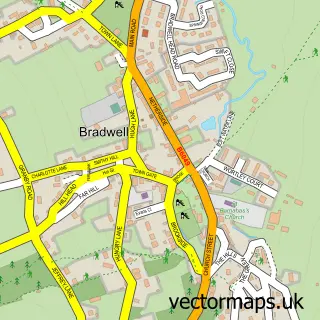
Nearby street map samples around Great Hucklow

More street maps in Derbyshire
750 metre map area coverage
Boundary, postcode and point of interest information for the 750m x 750m rectangle centred on this sample map.
Boundaries containing map centre
Constituency: Derbyshire Dales Co Const
County: Derbyshire County
District: Derbyshire Dales District
Icb: NHS Derby and Derbyshire ICB
Parish: Great Hucklow CP
Police Force: derbyshire
Postcode District: SK17
Postcode Sector: SK17 8
Ward: Bradwell Ward
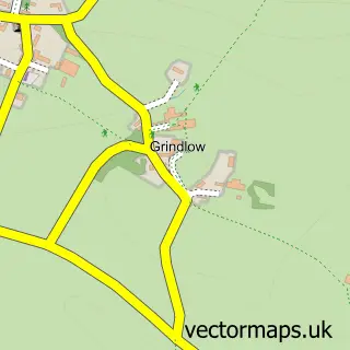
Nearby boundaries intersecting sample
Parish: Grindlow CP
Postcode coverage
POI category counts
Pub: 2
Brewery: 1
Business Management Services: 1
Coffee Shop: 1
Education: 1
Event Planning: 1
High School: 1
Holiday Rental Home: 1
Hotel: 1
Laundromat: 1
Sample points of interest
- Eyam Brewery Limited
- JPR Farm Direct Ltd.
- Ground Effect Coffee Roasters Ltd
- Foundry Mountain Activities
- The Nightingale Centre, Great Hucklow
- Chapel en le Frith High School
- Curlew Cottage
- Foundry Adventure Centre
- Peak District Laundry
- Queen Anne Inn
- The Queen Anne
- Old Chapel, Great Hucklow
Create a larger editable map of Great Hucklow
This sample shows only a 750 metre area. To create a larger map of Great Hucklow, use our map builder to choose your own coverage area, add titles and download editable SVG, PDF and PNG files.
Create a custom map of Great Hucklow