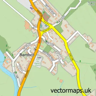
This Bradwell street map is a detailed vector street map covering a 750m x 750m area. Select a larger area to create and download your own vector street map of Bradwell.
The 750-metre map sample for Bradwell covers 351 mapped buildings and approximately 26.9 km of road detail, of which 34 named roads are named. The immediate area includes 2 schools, 1 GP surgery within 2 miles, 4 pubs and 1 MOT station, with 2 within 2 miles. The wider area around Bradwell features 1 tourism point of interest, 7 food and drink venues and 1 hotel. To create a larger or custom map of Bradwell, the map builder lets you define your own coverage area and download editable SVG, PDF and PNG files.
Create a larger editable map of Bradwell
Choose any area you need and generate a high-quality vector map instantly. Perfect for print, planning, design, business and personal use.

This Bradwell street map in Derbyshire is available as downloadable SVG, PDF and PNG map files, or as a printed map for planning, business, display, education, local information and design work. You can also create a larger custom map area using the map selector.
What this Bradwell map sample shows
Bradwell lies within Bradwell Cp parish, part of Bradwell ward in the Derbyshire Dales District local authority area. The postcode geography for this area includes the S postcode area, the S33 postcode district and the S33 9 postcode sector. Residents fall under the Nhs Derby And Derbyshire Integrated Care Board for NHS services.
Local features near Bradwell
Within 2 milesAmenities and services in and around Bradwell.
Administrative and postcode information for Bradwell
The local authority covering Bradwell is Derbyshire Dales District, within the county of Derbyshire. The settlement lies within Bradwell ward and Bradwell Cp civil parish. The S33 postcode district and S33 9 postcode sector serve the immediate area. NHS provision in the area is delivered through Chesterfield Royal Hospital Nhs Foundation Trust.
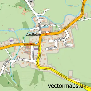
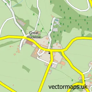
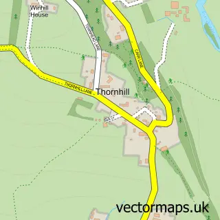
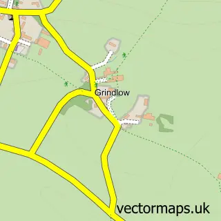
Nearby street map samples around Bradwell

More street maps in Derbyshire
750 metre map area coverage
Boundary, postcode and point of interest information for the 750m x 750m rectangle centred on this sample map.
Boundaries containing map centre
Constituency: Derbyshire Dales Co Const
County: Derbyshire County
District: Derbyshire Dales District
Icb: NHS Derby and Derbyshire ICB
Parish: Bradwell CP
Police Force: derbyshire
Postcode District: S33
Postcode Sector: S33 9
Ward: Bradwell Ward
Nearby boundaries intersecting sample
No additional intersecting boundaries found.
Postcode coverage
POI category counts
Pub: 4
Beauty Salon: 2
Fire Department: 2
Shipping Center: 2
Anglican Church: 1
Appliance Manufacturer: 1
Atms: 1
Bakery: 1
Cafe: 1
Cave: 1
Sample points of interest
- St Barnabas Church
- Pennine Woodworking
- The Cooperative Food (BF) Bradwell Netherside (Swap), Bradwell
- The Bakehouse
- Mirror Mirror Hair Design
- The Lodge
- Brook Cafe
- Bagshawe Cavern
- SeaMoor Coffee
- Bradwell Teddies
- Co-op Food
- Post Office Travel Money
Create a larger editable map of Bradwell
This sample shows only a 750 metre area. To create a larger map of Bradwell, use our map builder to choose your own coverage area, add titles and download editable SVG, PDF and PNG files.
Create a custom map of Bradwell