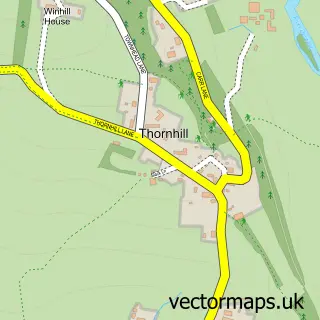
This Bamford street map is a detailed vector street map covering a 750m x 750m area. Select a larger area to create and download your own vector street map of Bamford.
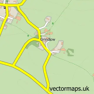
The 750-metre map sample for Bamford covers 187 mapped buildings and approximately 13.3 km of road detail, of which 18 named roads are named. The immediate area includes 1 school, 2 pubs and 3 MOT stations within 2 miles. The wider area around Bamford features 3 tourism points of interest, 2 food and drink venues and 3 hotels. To create a larger or custom map of Bamford, the map builder lets you define your own coverage area and download editable SVG, PDF and PNG files.
Create a larger editable map of Bamford
Choose any area you need and generate a high-quality vector map instantly. Perfect for print, planning, design, business and personal use.

This Bamford street map in Derbyshire is available as downloadable SVG, PDF and PNG map files, or as a printed map for planning, business, display, education, local information and design work. You can also create a larger custom map area using the map selector.
What this Bamford map sample shows
Bamford lies within Bamford Cp parish, part of Hope Valley ward in the High Peak District (B) local authority area. The postcode geography for this area includes the S postcode area, the S33 postcode district and the S33 0 postcode sector. Residents fall under the Nhs Derby And Derbyshire Integrated Care Board for NHS services.
Local features near Bamford
Within 2 milesAmenities and services in and around Bamford.
Administrative and postcode information for Bamford
Bamford lies within Bamford Cp parish, part of Hope Valley ward in the High Peak District (B) local authority area. The postcode geography for this area includes the S postcode area, the S33 postcode district and the S33 0 postcode sector. Residents fall under the Nhs Derby And Derbyshire Integrated Care Board for NHS services.
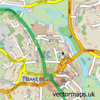
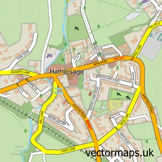
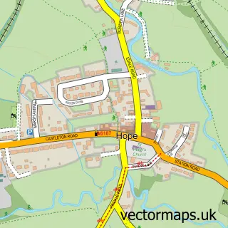
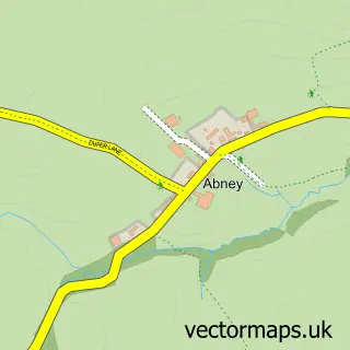
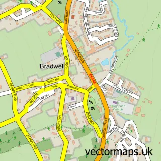
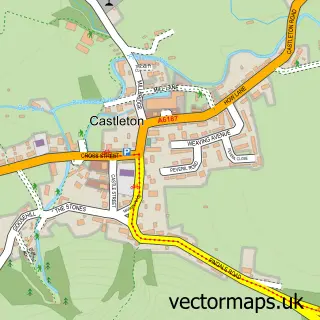
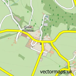
Nearby street map samples around Bamford

More street maps in Derbyshire
750 metre map area coverage
Boundary, postcode and point of interest information for the 750m x 750m rectangle centred on this sample map.
Boundaries containing map centre
Constituency: High Peak Co Const
County: Derbyshire County
District: High Peak District (B)
Icb: NHS Derby and Derbyshire ICB
Parish: Bamford CP
Police Force: derbyshire
Postcode District: S33
Postcode Sector: S33 0
Ward: Hope Valley Ward
Nearby boundaries intersecting sample
Parish: Thornhill CP
Postcode coverage
POI category counts
Church Cathedral: 3
Hotel: 3
Books Mags Music And Video: 2
National Park: 2
Pub: 2
Structure And Geography: 2
Advertising Agency: 1
Anglican Church: 1
Arts And Entertainment: 1
Bakery: 1
Sample points of interest
- Andrew Burdett Design
- St John the Baptist
- Bamford Community Arts and Crafts
- Bamford Bakery
- Peak District Mountain Bike Guiding
- Bamford Post Office
- Post Office
- Peak Architects
- Stonepeak Solutions
- Bamford Edge Glamping Site
- Bamford Church
- Our Lady Of Sorrows
Create a larger editable map of Bamford
This sample shows only a 750 metre area. To create a larger map of Bamford, use our map builder to choose your own coverage area, add titles and download editable SVG, PDF and PNG files.
Create a custom map of Bamford