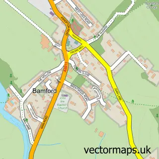
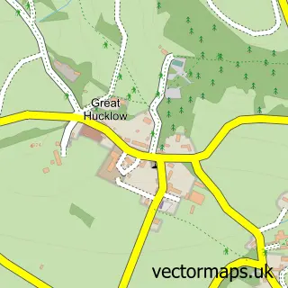
This Hope street map is a detailed vector street map covering a 750m x 750m area. Select a larger area to create and download your own vector street map of Hope.
The 750-metre map sample for Hope covers 196 mapped buildings and approximately 13.9 km of road detail, of which 11 named roads are named. The immediate area includes 1 school, 1 GP surgery, 2 pubs and 2 MOT stations within 2 miles. The wider area around Hope features 2 tourism points of interest, 6 food and drink venues and 1 hotel. To create a larger or custom map of Hope, the map builder lets you define your own coverage area and download editable SVG, PDF and PNG files.
Create a larger editable map of Hope
Choose any area you need and generate a high-quality vector map instantly. Perfect for print, planning, design, business and personal use.

This Hope street map in Derbyshire is available as downloadable SVG, PDF and PNG map files, or as a printed map for planning, business, display, education, local information and design work. You can also create a larger custom map area using the map selector.
What this Hope map sample shows
Hope lies within Hope Cp parish, part of Hope Valley ward in the High Peak District (B) local authority area. The postcode geography for this area includes the S postcode area, the S33 postcode district and the S33 6 postcode sector. Residents fall under the Nhs Derby And Derbyshire Integrated Care Board for NHS services.
Local features near Hope
Within 2 milesAmenities and services in and around Hope.
Administrative and postcode information for Hope
The local authority covering Hope is High Peak District (B), within the county of Derbyshire. The settlement lies within Hope Valley ward and Hope Cp civil parish. The S33 postcode district and S33 6 postcode sector serve the immediate area. NHS provision in the area is delivered through Stockport Nhs Foundation Trust.
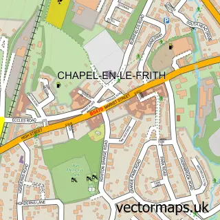
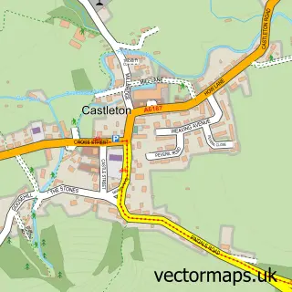
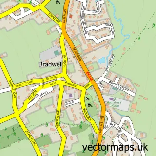
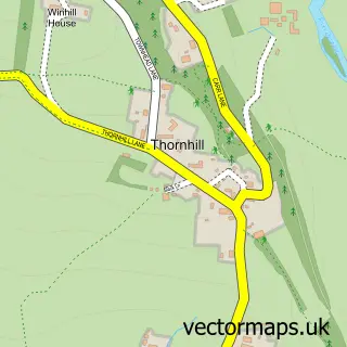
Nearby street map samples around Hope

More street maps in Derbyshire
750 metre map area coverage
Boundary, postcode and point of interest information for the 750m x 750m rectangle centred on this sample map.
Boundaries containing map centre
Constituency: High Peak Co Const
County: Derbyshire County
District: High Peak District (B)
Icb: NHS Derby and Derbyshire ICB
Parish: Hope CP
Police Force: derbyshire
Postcode District: S33
Postcode Sector: S33 6
Ward: Hope Valley Ward
Nearby boundaries intersecting sample
No additional intersecting boundaries found.
Postcode coverage
POI category counts
Cafe: 3
Butcher Shop: 2
Convenience Store: 2
National Park: 2
Pub: 2
Shipping Center: 2
Automotive Repair: 1
Beauty Salon: 1
Beer Bar: 1
Bicycle Shop: 1
Sample points of interest
- Hope Garage
- Lelia Alexandra Beauty
- Hope Valley Beer & Cider Festival
- 18 Bikes
- Oven Rangers
- Watson Farm Shop
- Watson's Farm Shop
- Cafe Adventure
- Courtyard Cafe Hope
- Grasshopper Cafe
- The Herb Table Ltd.
- Caroline Court Day Centre, Age UK Derby & Derbyshire
Create a larger editable map of Hope
This sample shows only a 750 metre area. To create a larger map of Hope, use our map builder to choose your own coverage area, add titles and download editable SVG, PDF and PNG files.
Create a custom map of Hope