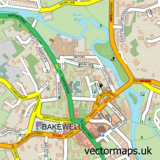
This Eyam street map is a detailed vector street map covering a 750m x 750m area. Select a larger area to create and download your own vector street map of Eyam.
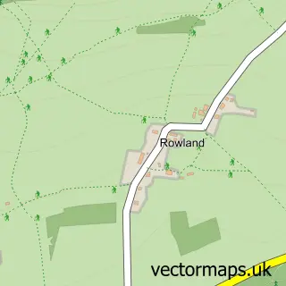
The 750-metre map sample for Eyam covers 183 mapped buildings and approximately 11.7 km of road detail, of which 10 named roads are named. The immediate area includes 1 school, 1 GP surgery, 1 pub and 2 MOT stations within 2 miles. The wider area around Eyam features 5 tourism points of interest and 2 food and drink venues. To create a larger or custom map of Eyam, the map builder lets you define your own coverage area and download editable SVG, PDF and PNG files.
Create a larger editable map of Eyam
Choose any area you need and generate a high-quality vector map instantly. Perfect for print, planning, design, business and personal use.

This Eyam street map in Derbyshire is available as downloadable SVG, PDF and PNG map files, or as a printed map for planning, business, display, education, local information and design work. You can also create a larger custom map area using the map selector.
What this Eyam map sample shows
Eyam lies within Eyam Cp parish, part of Hathersage And Eyam ward in the Derbyshire Dales District local authority area. The postcode geography for this area includes the S postcode area, the S32 postcode district and the S32 5 postcode sector. Residents fall under the Nhs Derby And Derbyshire Integrated Care Board for NHS services.
Local features near Eyam
Within 2 milesAmenities and services in and around Eyam.
Administrative and postcode information for Eyam
Eyam lies within Eyam Cp parish, part of Hathersage And Eyam ward in the Derbyshire Dales District local authority area. The postcode geography for this area includes the S postcode area, the S32 postcode district and the S32 5 postcode sector. Residents fall under the Nhs Derby And Derbyshire Integrated Care Board for NHS services.
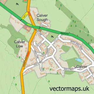
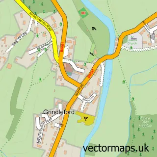
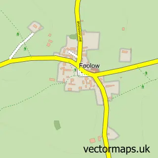
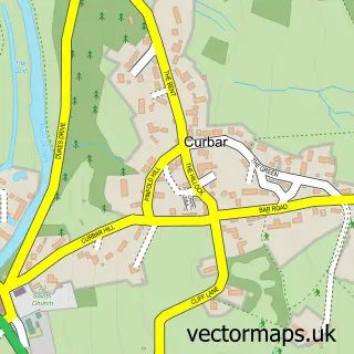
Nearby street map samples around Eyam

More street maps in Derbyshire
750 metre map area coverage
Boundary, postcode and point of interest information for the 750m x 750m rectangle centred on this sample map.
Boundaries containing map centre
Constituency: Derbyshire Dales Co Const
County: Derbyshire County
District: Derbyshire Dales District
Icb: NHS Derby and Derbyshire ICB
Parish: Eyam CP
Police Force: derbyshire
Postcode District: S32
Postcode Sector: S32 5
Ward: Hathersage Ward
Nearby boundaries intersecting sample
No additional intersecting boundaries found.
Postcode coverage
POI category counts
Landmark And Historical Building: 5
Bar: 2
Church Cathedral: 2
Tea Room: 2
Art Gallery: 1
Automotive Repair: 1
Bookstore: 1
Business Management Services: 1
Cafe: 1
Computer Store: 1
Sample points of interest
- Hannah Bennett
- Rock Garage
- The Coolstone
- The VeeCee at the Mechanics
- Eyam Book Barn
- Mistral Associates Ltd.
- Village Green Cafe
- Eyam Parish Church
- St Lawrence Church
- Peak Cloud Solutions
- Hope Valley Bathrooms & Homeware
- Church Street Stores
Create a larger editable map of Eyam
This sample shows only a 750 metre area. To create a larger map of Eyam, use our map builder to choose your own coverage area, add titles and download editable SVG, PDF and PNG files.
Create a custom map of Eyam