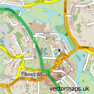
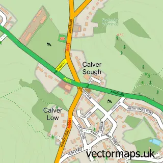
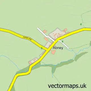
This Grindleford street map is a detailed vector street map covering a 750m x 750m area. Select a larger area to create and download your own vector street map of Grindleford.
The 750-metre map sample for Grindleford covers 144 mapped buildings and approximately 17.4 km of road detail, of which 10 named roads are named. The immediate area includes 1 school, 1 GP surgery within 2 miles and 2 MOT stations within 2 miles. The wider area around Grindleford features 1 tourism point of interest and 2 hotels. To create a larger or custom map of Grindleford, the map builder lets you define your own coverage area and download editable SVG, PDF and PNG files.
Create a larger editable map of Grindleford
Choose any area you need and generate a high-quality vector map instantly. Perfect for print, planning, design, business and personal use.

This Grindleford street map in Derbyshire is available as downloadable SVG, PDF and PNG map files, or as a printed map for planning, business, display, education, local information and design work. You can also create a larger custom map area using the map selector.
What this Grindleford map sample shows
Grindleford lies within Grindleford Cp parish, part of Hathersage And Eyam ward in the Derbyshire Dales District local authority area. The postcode geography for this area includes the S postcode area, the S32 postcode district and the S32 2 postcode sector. Residents fall under the Nhs Derby And Derbyshire Integrated Care Board for NHS services.
Local features near Grindleford
Within 2 milesAmenities and services in and around Grindleford.
Administrative and postcode information for Grindleford
The local authority covering Grindleford is Derbyshire Dales District, within the county of Derbyshire. The settlement lies within Hathersage And Eyam ward and Grindleford Cp civil parish. The S32 postcode district and S32 2 postcode sector serve the immediate area. NHS provision in the area is delivered through Chesterfield Royal Hospital Nhs Foundation Trust.
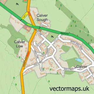
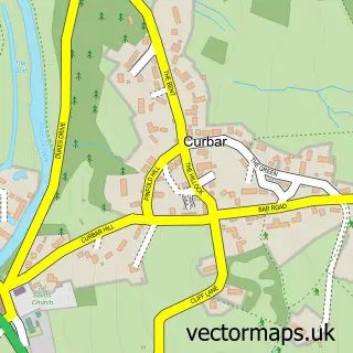
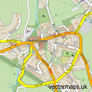
Nearby street map samples around Grindleford

More street maps in Derbyshire
750 metre map area coverage
Boundary, postcode and point of interest information for the 750m x 750m rectangle centred on this sample map.
Boundaries containing map centre
Constituency: Derbyshire Dales Co Const
County: Derbyshire County
District: Derbyshire Dales District
Icb: NHS Derby and Derbyshire ICB
Parish: Grindleford CP
Police Force: derbyshire
Postcode District: S32
Postcode Sector: S32 2
Ward: Hathersage Ward
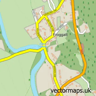
Nearby boundaries intersecting sample
Parish: Froggatt CP
Postcode Sector: S32 3
Ward: Calver & Longstone Ward
Postcode coverage
POI category counts
Elementary School: 2
Hotel: 2
Anglican Church: 1
Art Gallery: 1
Attractions And Activities: 1
Automotive Repair: 1
Broadcasting Media Production: 1
Business: 1
Chimney Sweep: 1
Convenience Store: 1
Sample points of interest
- St Helen's Grindleford
- Derwent Gallery
- Beyond The Edge
- Mount Pleasant Garage
- Salt Street Productions
- Eddistone Consulting
- Slaters Chimney Services
- Grindleford Community Shop
- Grindleford Primary School
- Grindleford Primary School
- Heason Events
- Chesterfield
Create a larger editable map of Grindleford
This sample shows only a 750 metre area. To create a larger map of Grindleford, use our map builder to choose your own coverage area, add titles and download editable SVG, PDF and PNG files.
Create a custom map of Grindleford