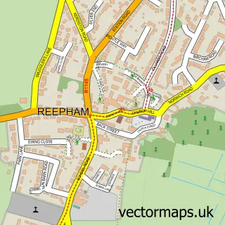
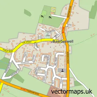
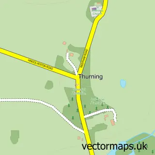
This Foulsham street map is a detailed vector street map covering a 750m x 750m area. Select a larger area to create and download your own vector street map of Foulsham.
The 750-metre map sample for Foulsham covers 193 mapped buildings and approximately 7.8 km of road detail, of which 16 named roads are named. The immediate area includes 1 school and 2 pubs. The wider area around Foulsham features 2 food and drink venues. To create a larger or custom map of Foulsham, the map builder lets you define your own coverage area and download editable SVG, PDF and PNG files.
Create a larger editable map of Foulsham
Choose any area you need and generate a high-quality vector map instantly. Perfect for print, planning, design, business and personal use.

This Foulsham street map in Norfolk is available as downloadable SVG, PDF and PNG map files, or as a printed map for planning, business, display, education, local information and design work. You can also create a larger custom map area using the map selector.
What this Foulsham map sample shows
Foulsham lies within Foulsham Cp parish, part of Eynesford ward in the Broadland District local authority area. The postcode geography for this area includes the NR postcode area, the NR20 postcode district and the NR20 5 postcode sector. Residents fall under the Nhs Norfolk And Waveney Integrated Care Board for NHS services.
Local features near Foulsham
Within 2 milesAmenities and services in and around Foulsham.
Administrative and postcode information for Foulsham
Foulsham lies within Foulsham Cp parish, part of Eynesford ward in the Broadland District local authority area. The postcode geography for this area includes the NR postcode area, the NR20 postcode district and the NR20 5 postcode sector. Residents fall under the Nhs Norfolk And Waveney Integrated Care Board for NHS services.
Nearby street map samples around Foulsham

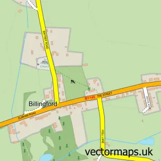
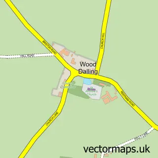
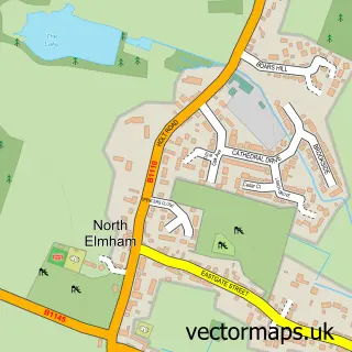
More street maps in Norfolk
750 metre map area coverage
Boundary, postcode and point of interest information for the 750m x 750m rectangle centred on this sample map.
Boundaries containing map centre
Constituency: Broadland and Fakenham Co Const
County: Norfolk County
District: Broadland District
Icb: NHS Norfolk and Waveney ICB
Parish: Foulsham CP
Police Force: norfolk
Postcode District: NR20
Postcode Sector: NR20 5
Ward: Eynesford Ward
Nearby boundaries intersecting sample
No additional intersecting boundaries found.
Postcode coverage
POI category counts
Assisted Living Facility: 2
Building Supply Store: 2
Elementary School: 2
Pub: 2
Anglican Church: 1
Automotive Repair: 1
Bed And Breakfast: 1
Convenience Store: 1
Electrician: 1
Event Planning: 1
Sample points of interest
- Foulsham: Holy Innocents
- Devaglade
- Peverell Care Home
- Complete Car Care
- Red Barn Foulsham
- Mcm Stump Grinding-Tree Stump Removal
- Ravencroft Tree Services
- Village Store
- Ray Lake Electrical
- Foulsham Primary School
- Foulsham Primary School
- Native2Norfolk
Create a larger editable map of Foulsham
This sample shows only a 750 metre area. To create a larger map of Foulsham, use our map builder to choose your own coverage area, add titles and download editable SVG, PDF and PNG files.
Create a custom map of Foulsham