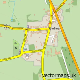
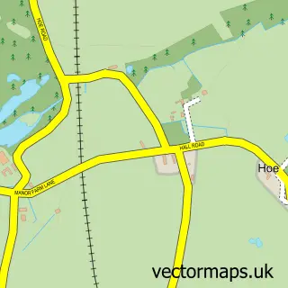
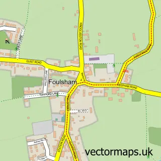
This North Elmham street map is a detailed vector street map covering a 750m x 750m area. Select a larger area to create and download your own vector street map of North Elmham.
The 750-metre map sample for North Elmham covers 266 mapped buildings and approximately 9.7 km of road detail, of which 11 named roads are named. The immediate area includes 1 school, 1 GP surgery and 1 MOT station within 2 miles. The wider area around North Elmham features 1 food and drink venue and 1 hotel. To create a larger or custom map of North Elmham, the map builder lets you define your own coverage area and download editable SVG, PDF and PNG files.
Create a larger editable map of North Elmham
Choose any area you need and generate a high-quality vector map instantly. Perfect for print, planning, design, business and personal use.

This North Elmham street map in Norfolk is available as downloadable SVG, PDF and PNG map files, or as a printed map for planning, business, display, education, local information and design work. You can also create a larger custom map area using the map selector.
What this North Elmham map sample shows
North Elmham lies within North Elmham Cp parish, part of Upper Wensum ward in the Breckland District local authority area. The postcode geography for this area includes the NR postcode area, the NR20 postcode district and the NR20 5 postcode sector. Residents fall under the Nhs Norfolk And Waveney Integrated Care Board for NHS services.
Local features near North Elmham
Within 2 milesAmenities and services in and around North Elmham.
Administrative and postcode information for North Elmham
North Elmham lies within North Elmham Cp parish, part of Upper Wensum ward in the Breckland District local authority area. The postcode geography for this area includes the NR postcode area, the NR20 postcode district and the NR20 5 postcode sector. Residents fall under the Nhs Norfolk And Waveney Integrated Care Board for NHS services.
Nearby street map samples around North Elmham
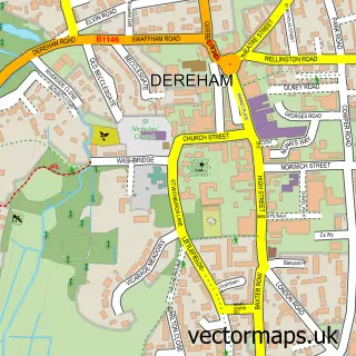

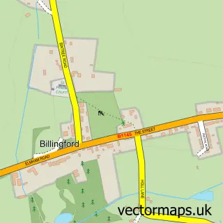
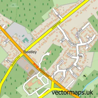
More street maps in Norfolk
750 metre map area coverage
Boundary, postcode and point of interest information for the 750m x 750m rectangle centred on this sample map.
Boundaries containing map centre
Constituency: Mid Norfolk Co Const
County: Norfolk County
District: Breckland District
Icb: NHS Norfolk and Waveney ICB
Parish: North Elmham CP
Police Force: norfolk
Postcode District: NR20
Postcode Sector: NR20 5
Ward: Upper Wensum Ward
Nearby boundaries intersecting sample
No additional intersecting boundaries found.
Postcode coverage
POI category counts
Doctor: 3
Professional Services: 2
Acupuncture: 1
Building Supply Store: 1
Business Consulting: 1
Cafe: 1
Driving School: 1
Education: 1
Elementary School: 1
Engineering Services: 1
Sample points of interest
- Justine Oliver
- Norfolk Construction
- Walker Macewan Associates
- Elmham Tea Post
- Elmham Group of Practices
- Elmham Surgery
- North Elmham Surgery
- NDT Driver Training
- North Elmham Playgroup
- North Elmham Primary School
- Kal Engineering Repairs
- Back To Life Upholstery
Create a larger editable map of North Elmham
This sample shows only a 750 metre area. To create a larger map of North Elmham, use our map builder to choose your own coverage area, add titles and download editable SVG, PDF and PNG files.
Create a custom map of North Elmham