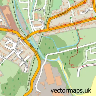
This Fowey street map is a detailed vector street map covering a 750m x 750m area. Select a larger area to create and download your own vector street map of Fowey.
The 750-metre map sample for Fowey covers 296 mapped buildings and approximately 14.7 km of road detail, of which 28 named roads are named. The immediate area includes 1 GP surgery, 5 pubs and 1 MOT station. The wider area around Fowey features 5 tourism points of interest, 18 food and drink venues and 12 hotels. To create a larger or custom map of Fowey, the map builder lets you define your own coverage area and download editable SVG, PDF and PNG files.
Create a larger editable map of Fowey
Choose any area you need and generate a high-quality vector map instantly. Perfect for print, planning, design, business and personal use.

This Fowey street map in Cornwall is available as downloadable SVG, PDF and PNG map files, or as a printed map for planning, business, display, education, local information and design work. You can also create a larger custom map area using the map selector.
What this Fowey map sample shows
Fowey lies within Fowey Cp parish, part of Fowey And Tywardreath ward in the Cornwall local authority area. The postcode geography for this area includes the PL postcode area, the PL23 postcode district and the PL23 1 postcode sector. Residents fall under the Nhs Cornwall And The Isles Of Scilly Integrated Care Board for NHS services.
Local features near Fowey
Within 2 milesAmenities and services in and around Fowey.
Administrative and postcode information for Fowey
Fowey lies within Fowey Cp parish, part of Fowey And Tywardreath ward in the Cornwall local authority area. The postcode geography for this area includes the PL postcode area, the PL23 postcode district and the PL23 1 postcode sector. Residents fall under the Nhs Cornwall And The Isles Of Scilly Integrated Care Board for NHS services.
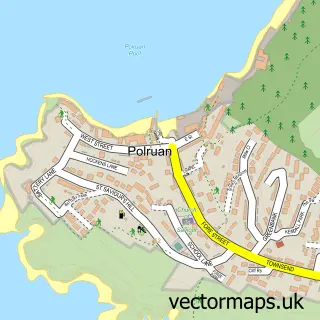
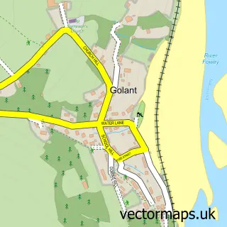
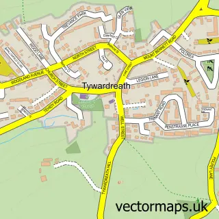
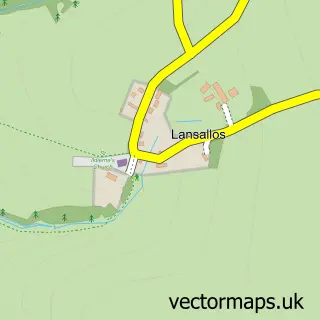
Nearby street map samples around Fowey

More street maps in Cornwall
750 metre map area coverage
Boundary, postcode and point of interest information for the 750m x 750m rectangle centred on this sample map.
Boundaries containing map centre
Constituency: St. Austell and Newquay Co Const
District: Cornwall
Icb: NHS Cornwall and the Isles of Scilly ICB
Parish: Fowey CP
Police Force: devon and cornwall
Postcode District: PL23
Postcode Sector: PL23 1
Nearby boundaries intersecting sample
No additional intersecting boundaries found.
Postcode coverage
POI category counts
Hotel: 12
Holiday Rental Home: 11
Cafe: 8
Flowers And Gifts Shop: 8
Bed And Breakfast: 6
Clothing Store: 6
Art Gallery: 5
Pub: 5
Restaurant: 5
Bakery: 4
Sample points of interest
- Fowey Town
- Salt Store
- RNLI Fowey Lifeboat Station
- Fowey Church (St. Fimbarrus)
- Any Old Vintage
- Middleton's
- 9 South Street Gallery
- Artist's House
- Fowey River Gallery
- Paintings and Pottery In Cornwall
- Whistlefish Gallery Fowey
- Cry of the Gulls
Create a larger editable map of Fowey
This sample shows only a 750 metre area. To create a larger map of Fowey, use our map builder to choose your own coverage area, add titles and download editable SVG, PDF and PNG files.
Create a custom map of Fowey