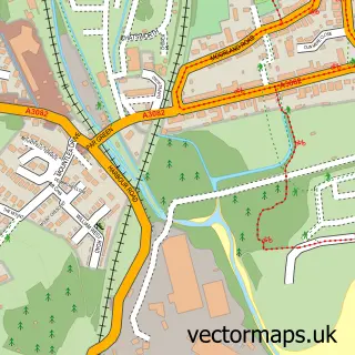
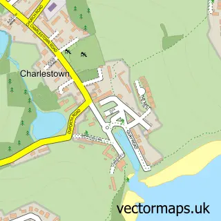
This Polruan street map is a detailed vector street map covering a 750m x 750m area. Select a larger area to create and download your own vector street map of Polruan.
The 750-metre map sample for Polruan covers 248 mapped buildings and approximately 6.4 km of road detail, of which 18 named roads are named. The immediate area includes 1 school, 1 GP surgery within 2 miles, 2 pubs and 1 MOT station within 2 miles. The wider area around Polruan features 3 tourism points of interest, 4 food and drink venues and 1 hotel. To create a larger or custom map of Polruan, the map builder lets you define your own coverage area and download editable SVG, PDF and PNG files.
Create a larger editable map of Polruan
Choose any area you need and generate a high-quality vector map instantly. Perfect for print, planning, design, business and personal use.

This Polruan street map in Cornwall is available as downloadable SVG, PDF and PNG map files, or as a printed map for planning, business, display, education, local information and design work. You can also create a larger custom map area using the map selector.
What this Polruan map sample shows
Polruan lies within Lanteglos Cp parish, part of Looe West, Lansallos And Lanteglos ward in the Cornwall local authority area. The postcode geography for this area includes the PL postcode area, the PL23 postcode district and the PL23 1 postcode sector. Residents fall under the Nhs Cornwall And The Isles Of Scilly Integrated Care Board for NHS services.
Local features near Polruan
Within 2 milesAmenities and services in and around Polruan.
Administrative and postcode information for Polruan
Polruan lies within Lanteglos Cp parish, part of Looe West, Lansallos And Lanteglos ward in the Cornwall local authority area. The postcode geography for this area includes the PL postcode area, the PL23 postcode district and the PL23 1 postcode sector. Residents fall under the Nhs Cornwall And The Isles Of Scilly Integrated Care Board for NHS services.
Nearby street map samples around Polruan
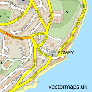

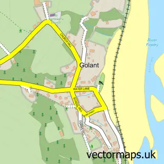
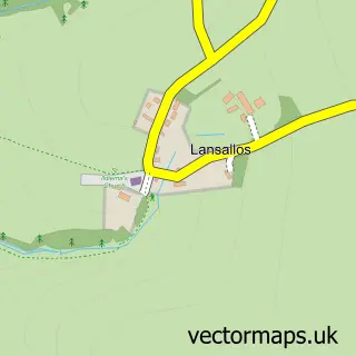
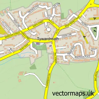
More street maps in Cornwall
750 metre map area coverage
Boundary, postcode and point of interest information for the 750m x 750m rectangle centred on this sample map.
Boundaries containing map centre
Constituency: South East Cornwall Co Const
District: Cornwall
Parish: Lanteglos CP
Police Force: devon and cornwall
Postcode District: PL23
Postcode Sector: PL23 1
Nearby boundaries intersecting sample
Constituency: St. Austell and Newquay Co Const
Icb: NHS Cornwall and the Isles of Scilly ICB
Postcode coverage
POI category counts
Holiday Rental Home: 4
Cafe: 2
Castle: 2
Cottage: 2
Pub: 2
Anglican Church: 1
Art Gallery: 1
Arts And Crafts: 1
Automotive: 1
Bed And Breakfast: 1
Sample points of interest
- Polruan: St Saviour
- Troy Town Gallery & Jane Walker
- Polruan Craft and Gift Market
- C Toms & Son Ltd
- Polmarine B & B
- Pettifox Sea Charters
- Crumpets Too
- Kittys Koffiji
- Polruan Castle
- St. Catherine's Castle
- Polruan Village Hall
- Midships Polruan Cornwall
Create a larger editable map of Polruan
This sample shows only a 750 metre area. To create a larger map of Polruan, use our map builder to choose your own coverage area, add titles and download editable SVG, PDF and PNG files.
Create a custom map of Polruan