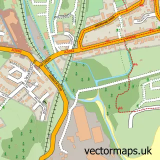
This Golant street map is a detailed vector street map covering a 750m x 750m area. Select a larger area to create and download your own vector street map of Golant.
The 750-metre map sample for Golant covers 139 mapped buildings and approximately 5.2 km of road detail, of which 5 named roads are named. The immediate area includes 1 GP surgery within 2 miles, 1 pub and 1 MOT station within 2 miles. The wider area around Golant features 1 food and drink venue and 2 campsites within 2 miles. To create a larger or custom map of Golant, the map builder lets you define your own coverage area and download editable SVG, PDF and PNG files.
Create a larger editable map of Golant
Choose any area you need and generate a high-quality vector map instantly. Perfect for print, planning, design, business and personal use.

This Golant street map in Cornwall is available as downloadable SVG, PDF and PNG map files, or as a printed map for planning, business, display, education, local information and design work. You can also create a larger custom map area using the map selector.
What this Golant map sample shows
Golant lies within St. Sampson Cp parish, part of Fowey And Tywardreath ward in the Cornwall local authority area. The postcode geography for this area includes the PL postcode area, the PL23 postcode district and the PL23 1 postcode sector. Residents fall under the Nhs Cornwall And The Isles Of Scilly Integrated Care Board for NHS services.
Local features near Golant
Within 2 milesAmenities and services in and around Golant.
Administrative and postcode information for Golant
Golant lies within St. Sampson Cp parish, part of Fowey And Tywardreath ward in the Cornwall local authority area. The postcode geography for this area includes the PL postcode area, the PL23 postcode district and the PL23 1 postcode sector. Residents fall under the Nhs Cornwall And The Isles Of Scilly Integrated Care Board for NHS services.
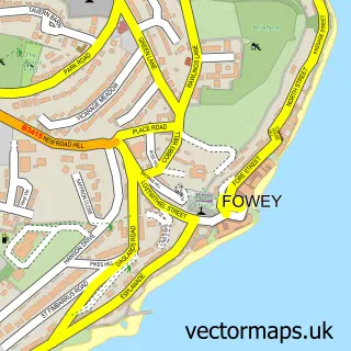
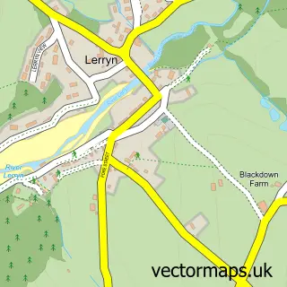
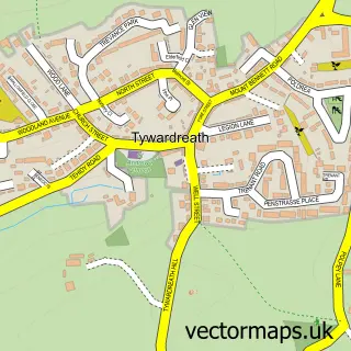
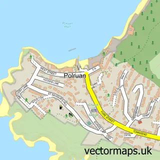
Nearby street map samples around Golant


More street maps in Cornwall
750 metre map area coverage
Boundary, postcode and point of interest information for the 750m x 750m rectangle centred on this sample map.
Boundaries containing map centre
Constituency: St. Austell and Newquay Co Const
District: Cornwall
Icb: NHS Cornwall and the Isles of Scilly ICB
Parish: St. Sampson CP
Police Force: devon and cornwall
Postcode District: PL23
Postcode Sector: PL23 1
Nearby boundaries intersecting sample
Constituency: South East Cornwall Co Const
Parish: St. Veep CP
Postcode coverage
POI category counts
Bed And Breakfast: 1
Canoe And Kayak Hire Service: 1
Church Cathedral: 1
Community Center: 1
Cottage: 1
Forestry Service: 1
Kids Recreation And Party: 1
Parking: 1
Pub: 1
Resort: 1
Sample points of interest
- The Sanctuary Cornwall
- Encounter Cornwall
- St Sampson's Church
- Golant Village Hall
- Paradise Cottage Golant
- J S Varco
- Encounter Cornwall
- Golant Halt
- Fishermans Arms
- The Cormorant Hotel Restaurant
- Golant railway station
Create a larger editable map of Golant
This sample shows only a 750 metre area. To create a larger map of Golant, use our map builder to choose your own coverage area, add titles and download editable SVG, PDF and PNG files.
Create a custom map of Golant