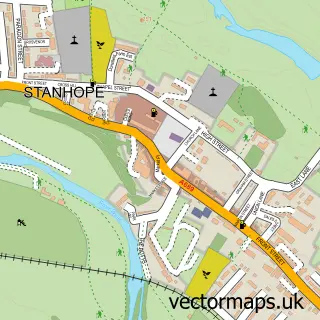
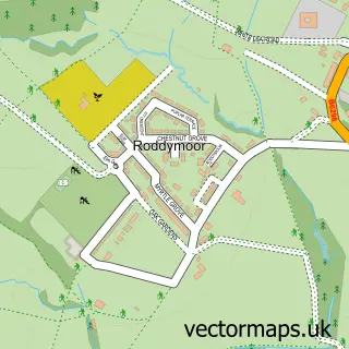
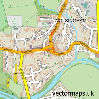
This Frosterley street map is a detailed vector street map covering a 750m x 750m area. Select a larger area to create and download your own vector street map of Frosterley.
The 750-metre map sample for Frosterley covers 132 mapped buildings and approximately 6.0 km of road detail, of which 8 named roads are named. The immediate area includes 2 pubs. The wider area around Frosterley features 3 food and drink venues. To create a larger or custom map of Frosterley, the map builder lets you define your own coverage area and download editable SVG, PDF and PNG files.
Create a larger editable map of Frosterley
Choose any area you need and generate a high-quality vector map instantly. Perfect for print, planning, design, business and personal use.

This Frosterley street map in Durham is available as downloadable SVG, PDF and PNG map files, or as a printed map for planning, business, display, education, local information and design work. You can also create a larger custom map area using the map selector.
What this Frosterley map sample shows
Frosterley lies within Stanhope Cp parish, part of Weardale ward in the County Durham local authority area. The postcode geography for this area includes the DL postcode area, the DL13 postcode district and the DL13 2 postcode sector. Residents fall under the Nhs North East And North Cumbria Integrated Care Board for NHS services.
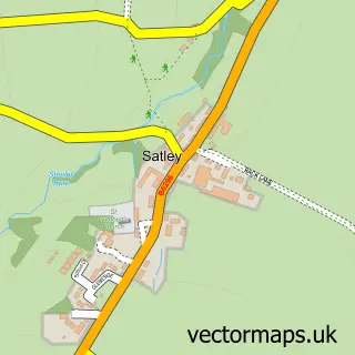
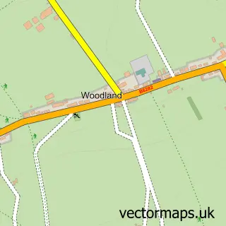
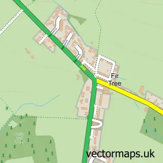
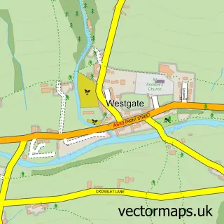
Local features near Frosterley
Within 2 milesAmenities and services in and around Frosterley.
Administrative and postcode information for Frosterley
Frosterley lies within Stanhope Cp parish, part of Weardale ward in the County Durham local authority area. The postcode geography for this area includes the DL postcode area, the DL13 postcode district and the DL13 2 postcode sector. Residents fall under the Nhs North East And North Cumbria Integrated Care Board for NHS services.
Nearby street map samples around Frosterley

More street maps in Durham
750 metre map area coverage
Boundary, postcode and point of interest information for the 750m x 750m rectangle centred on this sample map.
Boundaries containing map centre
Constituency: Bishop Auckland Co Const
District: County Durham
Icb: NHS North East and North Cumbria ICB
Parish: Stanhope CP
Police Force: durham
Postcode District: DL13
Postcode Sector: DL13 2
Nearby boundaries intersecting sample
No additional intersecting boundaries found.
Postcode coverage
POI category counts
Post Office: 2
Pub: 2
Shipping Center: 2
Building Supply Store: 1
Cabin: 1
Caterer: 1
Coffee Shop: 1
Convenience Store: 1
Currency Exchange: 1
Desserts: 1
Sample points of interest
- I.T.S
- Cromer House Barn
- Crepe Expectations
- Costa Express
- Lakes & Dales Co-operative
- Post Office Travel Money
- Canny Cheesecakes
- Clear 2 Go
- Frosterley Village Hall
- The Village Chip Bar
- Daisy Chain Florist
- G W Lee & Sons
Create a larger editable map of Frosterley
This sample shows only a 750 metre area. To create a larger map of Frosterley, use our map builder to choose your own coverage area, add titles and download editable SVG, PDF and PNG files.
Create a custom map of Frosterley