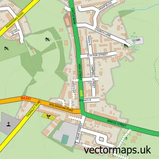
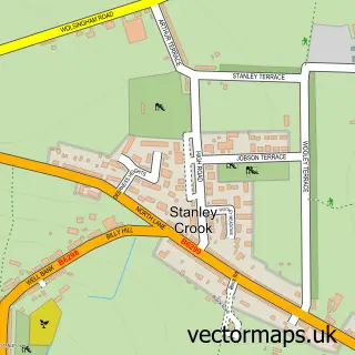
This Wolsingham street map is a detailed vector street map covering a 750m x 750m area. Select a larger area to create and download your own vector street map of Wolsingham.
The 750-metre map sample for Wolsingham covers 336 mapped buildings and approximately 14.3 km of road detail, of which 25 named roads are named. The immediate area includes 1 school and 3 pubs. The wider area around Wolsingham features 3 tourism points of interest, 8 food and drink venues and 6 hotels. To create a larger or custom map of Wolsingham, the map builder lets you define your own coverage area and download editable SVG, PDF and PNG files.
Create a larger editable map of Wolsingham
Choose any area you need and generate a high-quality vector map instantly. Perfect for print, planning, design, business and personal use.

This Wolsingham street map in Durham is available as downloadable SVG, PDF and PNG map files, or as a printed map for planning, business, display, education, local information and design work. You can also create a larger custom map area using the map selector.
What this Wolsingham map sample shows
Wolsingham lies within Wolsingham Cp parish, part of Weardale ward in the County Durham local authority area. The postcode geography for this area includes the DL postcode area, the DL13 postcode district and the DL13 3 postcode sector. Residents fall under the Nhs North East And North Cumbria Integrated Care Board for NHS services.
Local features near Wolsingham
Within 2 milesAmenities and services in and around Wolsingham.
Administrative and postcode information for Wolsingham
The local authority covering Wolsingham is County Durham, within the county of Durham. The settlement lies within Weardale ward and Wolsingham Cp civil parish. The DL13 postcode district and DL13 3 postcode sector serve the immediate area. NHS provision in the area is delivered through County Durham And Darlington Nhs Foundation Trust.
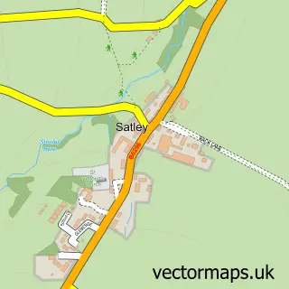
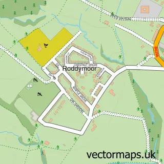
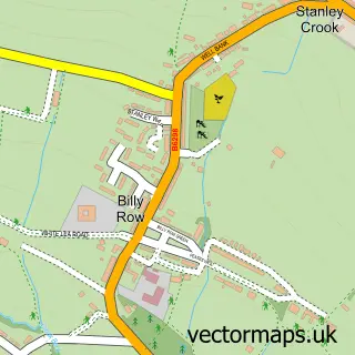
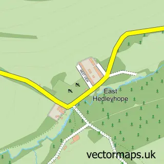
Nearby street map samples around Wolsingham

More street maps in Durham
750 metre map area coverage
Boundary, postcode and point of interest information for the 750m x 750m rectangle centred on this sample map.
Boundaries containing map centre
Constituency: Bishop Auckland Co Const
District: County Durham
Icb: NHS North East and North Cumbria ICB
Parish: Wolsingham CP
Police Force: durham
Postcode District: DL13
Postcode Sector: DL13 3
Nearby boundaries intersecting sample
No additional intersecting boundaries found.
Postcode coverage
POI category counts
Hotel: 4
Restaurant: 4
Pub: 3
Beauty Salon: 2
Funeral Services And Cemeteries: 2
Gym: 2
Hair Salon: 2
Korean Grocery Store: 2
Physical Therapy: 2
Professional Services: 2
Sample points of interest
- Fish Lab
- Wolsingham & Wear Valley Agricultural Society
- St Mary & St Stephen
- Brock and Bumble Art Studio
- Barclays ATM
- Demesne Mill Picnic Area
- Queen B Hairdressing & Beauty
- Perfect 10
- SKS Beauty
- Melbourne Place Bed and Breakfast
- Farplace Animal Rescue Charity Shop in Wolsingham
- Saint Thomas of Canterbury Catholic Church
Create a larger editable map of Wolsingham
This sample shows only a 750 metre area. To create a larger map of Wolsingham, use our map builder to choose your own coverage area, add titles and download editable SVG, PDF and PNG files.
Create a custom map of Wolsingham