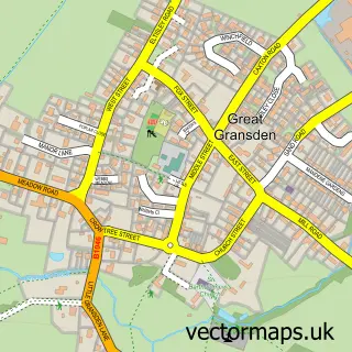
This Gamlingay street map is a detailed vector street map covering a 750m x 750m area. Select a larger area to create and download your own vector street map of Gamlingay.
The 750-metre map sample for Gamlingay covers 415 mapped buildings and approximately 14.5 km of road detail, of which 26 named roads are named. The immediate area includes 2 pubs and 2 MOT stations, with 4 within 2 miles. The wider area around Gamlingay features 2 food and drink venues. To create a larger or custom map of Gamlingay, the map builder lets you define your own coverage area and download editable SVG, PDF and PNG files.
Create a larger editable map of Gamlingay
Choose any area you need and generate a high-quality vector map instantly. Perfect for print, planning, design, business and personal use.

This Gamlingay street map in Cambridgeshire is available as downloadable SVG, PDF and PNG map files, or as a printed map for planning, business, display, education, local information and design work. You can also create a larger custom map area using the map selector.
What this Gamlingay map sample shows
Gamlingay lies within Gamlingay Cp parish, part of Gamlingay ward in the South Cambridgeshire District local authority area. The postcode geography for this area includes the SG postcode area, the SG19 postcode district and the SG19 3 postcode sector. Residents fall under the Nhs Cambridgeshire And Peterborough Integrated Care Board for NHS services.
Local features near Gamlingay
Within 2 milesAmenities and services in and around Gamlingay.
Administrative and postcode information for Gamlingay
Gamlingay lies within Gamlingay Cp parish, part of Gamlingay ward in the South Cambridgeshire District local authority area. The postcode geography for this area includes the SG postcode area, the SG19 postcode district and the SG19 3 postcode sector. Residents fall under the Nhs Cambridgeshire And Peterborough Integrated Care Board for NHS services.
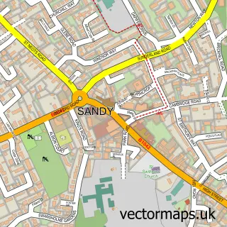
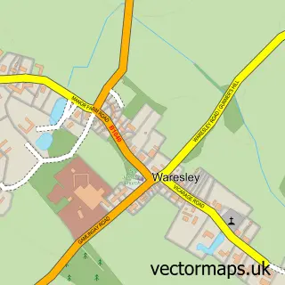
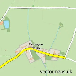
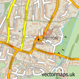
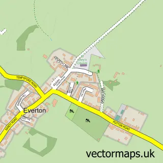
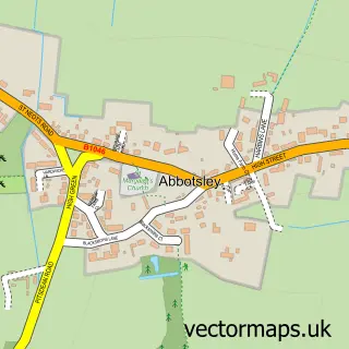
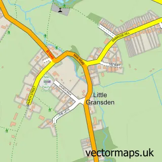
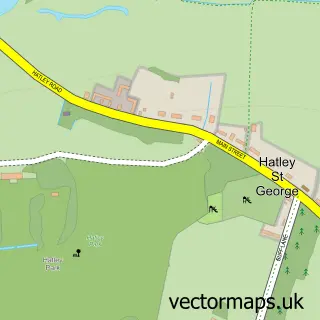
Nearby street map samples around Gamlingay

More street maps in Cambridgeshire
750 metre map area coverage
Boundary, postcode and point of interest information for the 750m x 750m rectangle centred on this sample map.
Boundaries containing map centre
Constituency: South Cambridgeshire Co Const
County: Cambridgeshire County
District: South Cambridgeshire District
Icb: NHS Central East ICB
Parish: Gamlingay CP
Police Force: cambridgeshire
Postcode District: SG19
Postcode Sector: SG19 3
Ward: Gamlingay Ward
Nearby boundaries intersecting sample
No additional intersecting boundaries found.
Postcode coverage
POI category counts
Building Supply Store: 4
Automotive Repair: 3
Beauty Salon: 3
Contractor: 3
Convenience Store: 3
Professional Services: 3
Flooring Contractors: 2
Furniture Store: 2
Hair Salon: 2
Korean Grocery Store: 2
Sample points of interest
- The Shiatsu Clinic
- St Mary the Virgin Church, Gamlingay and Chapel of Hatley St George (also Church of St Dennis, East Hatley)
- D C Finnigan Motor Engineers
- Ozzys Garage
- Worboys Garage Ltd
- The Old Bank Barbers
- Eyelash Extensions
- The Cutting Mill
- Victoria and Nicholas
- Emergency Plumbing Services
- SAW Garden Services
- Saw Fencing Services
Create a larger editable map of Gamlingay
This sample shows only a 750 metre area. To create a larger map of Gamlingay, use our map builder to choose your own coverage area, add titles and download editable SVG, PDF and PNG files.
Create a custom map of Gamlingay