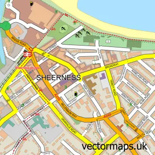
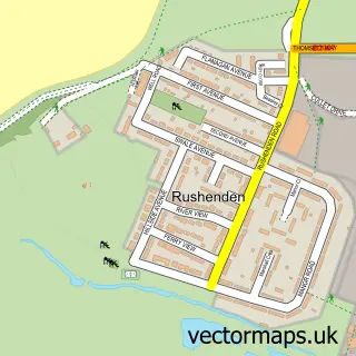
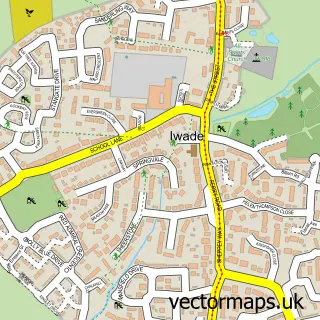
This Grain street map is a detailed vector street map covering a 750m x 750m area. Select a larger area to create and download your own vector street map of Grain.
The 750-metre map sample for Grain covers 324 mapped buildings and approximately 11.0 km of road detail, of which 23 named roads are named. The immediate area includes 1 school, 1 pub and 1 MOT station within 2 miles. The wider area around Grain features 1 tourism point of interest and 2 food and drink venues. To create a larger or custom map of Grain, the map builder lets you define your own coverage area and download editable SVG, PDF and PNG files.
Create a larger editable map of Grain
Choose any area you need and generate a high-quality vector map instantly. Perfect for print, planning, design, business and personal use.

This Grain street map in Kent is available as downloadable SVG, PDF and PNG map files, or as a printed map for planning, business, display, education, local information and design work. You can also create a larger custom map area using the map selector.
What this Grain map sample shows
Grain lies within Isle Of Grain Cp parish, part of Peninsula ward in the Medway (B) local authority area. The postcode geography for this area includes the ME postcode area, the ME3 postcode district and the ME3 0 postcode sector. Residents fall under the Nhs Kent And Medway Integrated Care Board for NHS services.
Local features near Grain
Within 2 milesAmenities and services in and around Grain.
Administrative and postcode information for Grain
The local authority covering Grain is Medway (B), within the county of Kent. The settlement lies within Peninsula ward and Isle Of Grain Cp civil parish. The ME3 postcode district and ME3 0 postcode sector serve the immediate area. NHS provision in the area is delivered through Medway Nhs Foundation Trust.
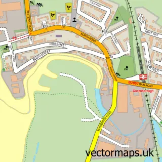
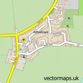
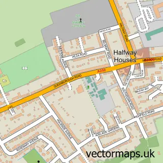
Nearby street map samples around Grain

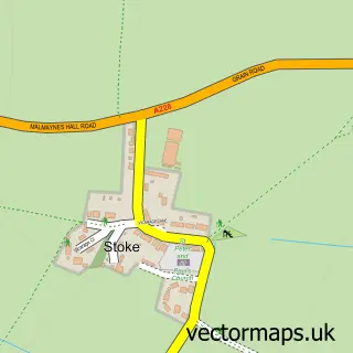
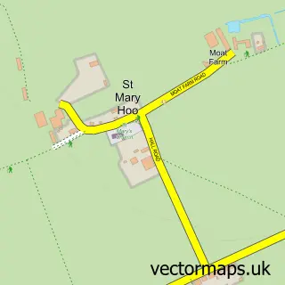
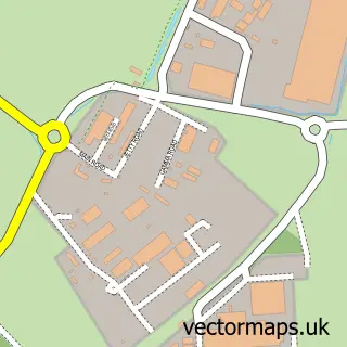
More street maps in Kent
750 metre map area coverage
Boundary, postcode and point of interest information for the 750m x 750m rectangle centred on this sample map.
Boundaries containing map centre
Constituency: Rochester and Strood Co Const
District: Medway (B)
Icb: NHS Kent and Medway ICB
Parish: Isle of Grain CP
Police Force: kent
Postcode District: ME3
Postcode Sector: ME3 0
Ward: All Saints Ward
Nearby boundaries intersecting sample
No additional intersecting boundaries found.
Postcode coverage
POI category counts
Bed And Breakfast: 2
Airport Shuttles: 1
Anglican Church: 1
Atms: 1
Auto Body Shop: 1
Bar: 1
Barber: 1
Clothing Store: 1
Coffee Shop: 1
Community Center: 1
Sample points of interest
- D J S Minibus Travel
- Grain: St James
- The Cooperative Food Grain (SWAP), Isle Of Grain
- Grain Coast Customs
- Hogarth Inn
- Blending Barbers
- The Lodge Guest House
- The Lodge Guest House
- Flannels Fashion
- Costa Express
- U J Community Partnership
- DK Home Solutions
Create a larger editable map of Grain
This sample shows only a 750 metre area. To create a larger map of Grain, use our map builder to choose your own coverage area, add titles and download editable SVG, PDF and PNG files.
Create a custom map of Grain