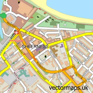
This Halfway street map is a detailed vector street map covering a 750m x 750m area. Select a larger area to create and download your own vector street map of Halfway.
The 750-metre map sample for Halfway covers 461 mapped buildings and approximately 12.1 km of road detail, of which 23 named roads are named. The immediate area includes 2 schools, 5 GP surgeries within 2 miles, 1 pub and 1 MOT station, with 11 within 2 miles. The wider area around Halfway features 3 food and drink venues and 1 campsite within 2 miles. To create a larger or custom map of Halfway, the map builder lets you define your own coverage area and download editable SVG, PDF and PNG files.
Create a larger editable map of Halfway
Choose any area you need and generate a high-quality vector map instantly. Perfect for print, planning, design, business and personal use.

This Halfway street map in Kent is available as downloadable SVG, PDF and PNG map files, or as a printed map for planning, business, display, education, local information and design work. You can also create a larger custom map area using the map selector.
What this Halfway map sample shows
Halfway lies within Kent County parish, part of Queenborough And Halfway ward in the Swale District (B) local authority area. The postcode geography for this area includes the ME postcode area, the ME12 postcode district and the ME12 3 postcode sector. Residents fall under the Nhs Kent And Medway Integrated Care Board for NHS services.
Local features near Halfway
Within 2 milesAmenities and services in and around Halfway.
Administrative and postcode information for Halfway
Halfway lies within Kent County parish, part of Queenborough And Halfway ward in the Swale District (B) local authority area. The postcode geography for this area includes the ME postcode area, the ME12 postcode district and the ME12 3 postcode sector. Residents fall under the Nhs Kent And Medway Integrated Care Board for NHS services.
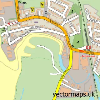
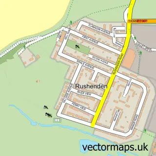
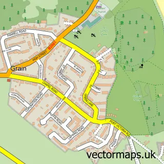
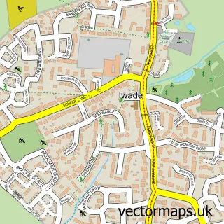
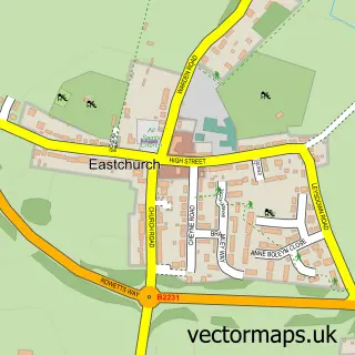
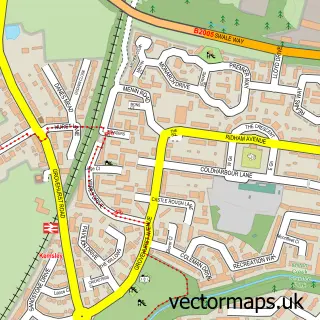
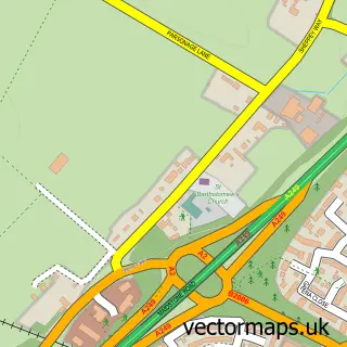
Nearby street map samples around Halfway

More street maps in Kent
750 metre map area coverage
Boundary, postcode and point of interest information for the 750m x 750m rectangle centred on this sample map.
Boundaries containing map centre
Constituency: Sittingbourne and Sheppey Co Const
County: Kent County
District: Swale District (B)
Icb: NHS Kent and Medway ICB
Police Force: kent
Postcode District: ME12
Postcode Sector: ME12 3
Ward: Queenborough and Halfway Ward
Nearby boundaries intersecting sample
No additional intersecting boundaries found.
Postcode coverage
POI category counts
Indian Restaurant: 4
Beauty Salon: 3
Convenience Store: 3
Food Delivery Service: 3
Barber: 2
Cocktail Bar: 2
Newspaper And Magazines Store: 2
Package Locker: 2
Professional Services: 2
Restaurant: 2
Sample points of interest
- Apple Seed Paper Cuts
- Dragon Palace
- Ann Rose Fabrics
- JB's Pit Stop
- Jelly Ju
- Halfway House Pub
- Galata Turkish barbers
- The Cutting Machine
- Instaglam
- Beauty by Georgia-Leigh
- Halfway Tanning
- Peto's Pout & Profile
Create a larger editable map of Halfway
This sample shows only a 750 metre area. To create a larger map of Halfway, use our map builder to choose your own coverage area, add titles and download editable SVG, PDF and PNG files.
Create a custom map of Halfway