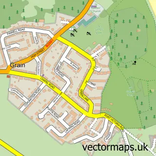
This Queenborough street map is a detailed vector street map covering a 750m x 750m area. Select a larger area to create and download your own vector street map of Queenborough.
The 750-metre map sample for Queenborough covers 237 mapped buildings and approximately 10.9 km of road detail, of which 22 named roads are named. The immediate area includes 1 railway station, 5 GP surgeries within 2 miles, 5 pubs and 1 MOT station, with 10 within 2 miles. The wider area around Queenborough features 5 tourism points of interest, 6 food and drink venues and 1 hotel. To create a larger or custom map of Queenborough, the map builder lets you define your own coverage area and download editable SVG, PDF and PNG files.
Create a larger editable map of Queenborough
Choose any area you need and generate a high-quality vector map instantly. Perfect for print, planning, design, business and personal use.

This Queenborough street map in Kent is available as downloadable SVG, PDF and PNG map files, or as a printed map for planning, business, display, education, local information and design work. You can also create a larger custom map area using the map selector.
What this Queenborough map sample shows
Queenborough lies within Queenborough Cp parish, part of Queenborough And Halfway ward in the Swale District (B) local authority area. The postcode geography for this area includes the ME postcode area, the ME11 postcode district and the ME11 5 postcode sector. Residents fall under the Nhs Kent And Medway Integrated Care Board for NHS services.
Local features near Queenborough
Within 2 milesAmenities and services in and around Queenborough.
Administrative and postcode information for Queenborough
The local authority covering Queenborough is Swale District (B), within the county of Kent. The settlement lies within Queenborough And Halfway ward and Queenborough Cp civil parish. The ME11 postcode district and ME11 5 postcode sector serve the immediate area. NHS provision in the area is delivered through Medway Nhs Foundation Trust.
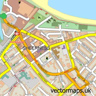
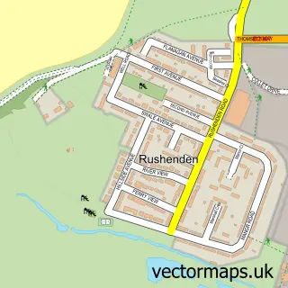
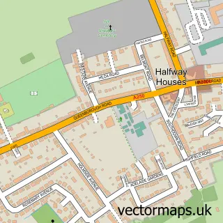
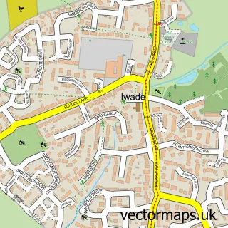
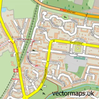
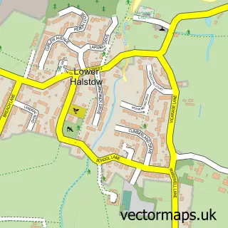
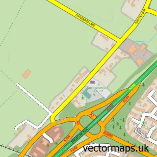
Nearby street map samples around Queenborough

More street maps in Kent
750 metre map area coverage
Boundary, postcode and point of interest information for the 750m x 750m rectangle centred on this sample map.
Boundaries containing map centre
Constituency: Sittingbourne and Sheppey Co Const
County: Kent County
District: Swale District (B)
Icb: NHS Kent and Medway ICB
Parish: Queenborough CP
Police Force: kent
Postcode District: ME11
Postcode Sector: ME11 5
Ward: Queenborough and Halfway Ward
Nearby boundaries intersecting sample
Parish: Sheerness CP
Postcode District: ME12
Postcode Sector: ME12 1, ME12 3
Ward: Sheerness Ward
Postcode coverage
POI category counts
Pub: 5
Building Supply Store: 3
Train Station: 3
Auto Body Shop: 2
Automotive Parts And Accessories: 2
Automotive Repair: 2
Beauty Salon: 2
Car Dealer: 2
Cleaning Services: 2
Contractor: 2
Sample points of interest
- BRFM Bridge Radio
- Holy Trinity Queenborough
- HF Refinishing
- Shearspeed Customs
- Reflection Window Tinting
- Modena Auto Kent
- Pilkington AGR
- CH Services Garage
- Mild-2-Wild
- Marina MOT
- Time Out Queenborough
- Coco Bronze
Create a larger editable map of Queenborough
This sample shows only a 750 metre area. To create a larger map of Queenborough, use our map builder to choose your own coverage area, add titles and download editable SVG, PDF and PNG files.
Create a custom map of Queenborough