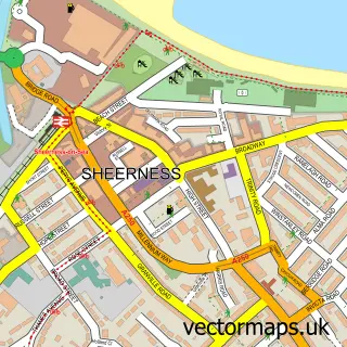
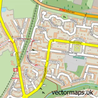
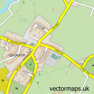
This Rushenden street map is a detailed vector street map covering a 750m x 750m area. Select a larger area to create and download your own vector street map of Rushenden.
The 750-metre map sample for Rushenden covers 208 mapped buildings and approximately 8.8 km of road detail, of which 18 named roads are named. The immediate area includes 1 pub and 6 MOT stations within 2 miles. The wider area around Rushenden features 2 tourism points of interest, 1 food and drink venue and 1 campsite within 2 miles. To create a larger or custom map of Rushenden, the map builder lets you define your own coverage area and download editable SVG, PDF and PNG files.
Create a larger editable map of Rushenden
Choose any area you need and generate a high-quality vector map instantly. Perfect for print, planning, design, business and personal use.

This Rushenden street map in Kent is available as downloadable SVG, PDF and PNG map files, or as a printed map for planning, business, display, education, local information and design work. You can also create a larger custom map area using the map selector.
What this Rushenden map sample shows
Rushenden lies within Queenborough Cp parish, part of Queenborough And Halfway ward in the Swale District (B) local authority area. The postcode geography for this area includes the ME postcode area, the ME11 postcode district and the ME11 5 postcode sector. Residents fall under the Nhs Kent And Medway Integrated Care Board for NHS services.
Local features near Rushenden
Within 2 milesAmenities and services in and around Rushenden.
Administrative and postcode information for Rushenden
The local authority covering Rushenden is Swale District (B), within the county of Kent. The settlement lies within Queenborough And Halfway ward and Queenborough Cp civil parish. The ME11 postcode district and ME11 5 postcode sector serve the immediate area. NHS provision in the area is delivered through Medway Nhs Foundation Trust.
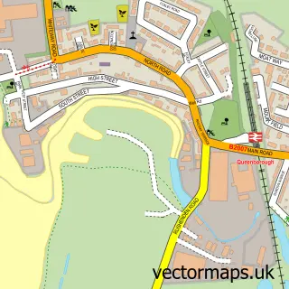
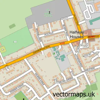
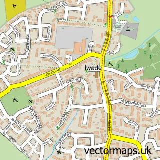
Nearby street map samples around Rushenden

More street maps in Kent
750 metre map area coverage
Boundary, postcode and point of interest information for the 750m x 750m rectangle centred on this sample map.
Boundaries containing map centre
Constituency: Sittingbourne and Sheppey Co Const
County: Kent County
District: Swale District (B)
Icb: NHS Kent and Medway ICB
Parish: Queenborough CP
Police Force: kent
Postcode District: ME11
Postcode Sector: ME11 5
Ward: Queenborough and Halfway Ward
Nearby boundaries intersecting sample
No additional intersecting boundaries found.
Postcode coverage
POI category counts
Atms: 1
Bar: 1
Beauty Salon: 1
Building Supply Store: 1
Campground: 1
Community Services Non Profits: 1
Convenience Store: 1
Drugstore: 1
Fast Food Restaurant: 1
Home Goods Store: 1
Sample points of interest
- PayPoint
- Battcave
- Revolution Beauty LABS Ltd
- Jewson
- LeoBay
- Bells and Whistles Event Stylist Ltd
- B and B Stores
- Well - Queenborough
- KFC
- Alle Logistics
- Queenborough-in-Sheppey
- Cajero Ltd
Create a larger editable map of Rushenden
This sample shows only a 750 metre area. To create a larger map of Rushenden, use our map builder to choose your own coverage area, add titles and download editable SVG, PDF and PNG files.
Create a custom map of Rushenden