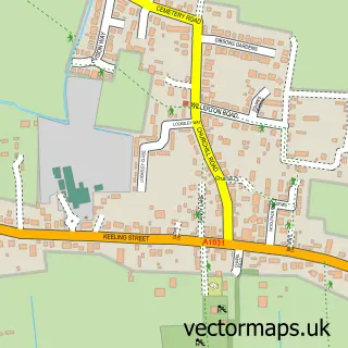
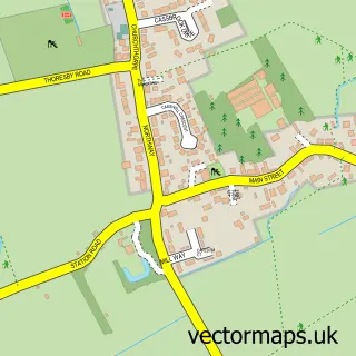
This Grainthorpe street map is a detailed vector street map covering a 750m x 750m area. Select a larger area to create and download your own vector street map of Grainthorpe.
The 750-metre map sample for Grainthorpe covers 199 mapped buildings and approximately 12.2 km of road detail, of which 13 named roads are named. The wider area around Grainthorpe features 1 tourism point of interest. To create a larger or custom map of Grainthorpe, the map builder lets you define your own coverage area and download editable SVG, PDF and PNG files.
Create a larger editable map of Grainthorpe
Choose any area you need and generate a high-quality vector map instantly. Perfect for print, planning, design, business and personal use.

This Grainthorpe street map in Lincolnshire is available as downloadable SVG, PDF and PNG map files, or as a printed map for planning, business, display, education, local information and design work. You can also create a larger custom map area using the map selector.
What this Grainthorpe map sample shows
Grainthorpe lies within Grainthorpe Cp parish, part of Marshchapel & Somercotes ward in the East Lindsey District local authority area. The postcode geography for this area includes the LN postcode area, the LN11 postcode district and the LN11 7 postcode sector. Residents fall under the Nhs Lincolnshire Integrated Care Board for NHS services.
Local features near Grainthorpe
Within 2 milesAmenities and services in and around Grainthorpe.
Administrative and postcode information for Grainthorpe
The local authority covering Grainthorpe is East Lindsey District, within the county of Lincolnshire. The settlement lies within Marshchapel & Somercotes ward and Grainthorpe Cp civil parish. The LN11 postcode district and LN11 7 postcode sector serve the immediate area. NHS provision in the area is delivered through Northern Lincolnshire And Goole Nhs Foundation Trust.
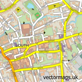
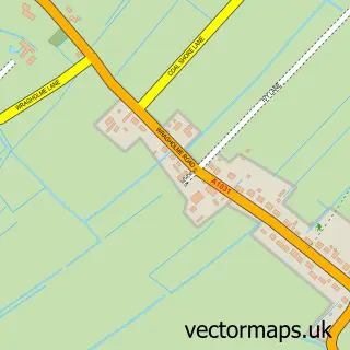
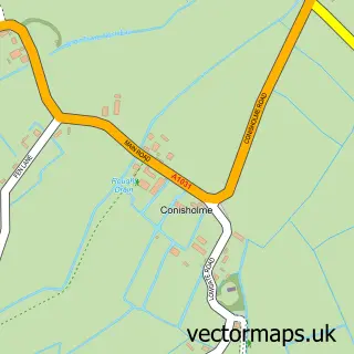
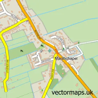
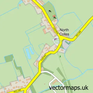
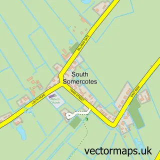
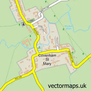
Nearby street map samples around Grainthorpe

More street maps in Lincolnshire
750 metre map area coverage
Boundary, postcode and point of interest information for the 750m x 750m rectangle centred on this sample map.
Boundaries containing map centre
Constituency: Louth and Horncastle Co Const
County: Lincolnshire County
District: East Lindsey District
Icb: NHS Lincolnshire ICB
Parish: Grainthorpe CP
Police Force: lincolnshire
Postcode District: LN11
Postcode Sector: LN11 7
Ward: Marshchapel & Somercotes Ward
Nearby boundaries intersecting sample
No additional intersecting boundaries found.
Postcode coverage
POI category counts
Pet Groomer: 2
Bakery: 1
Carpet Store: 1
Community Center: 1
Corporate Entertainment Services: 1
Employment Agencies: 1
Fence And Gate Sales Service: 1
Ice Cream Shop: 1
Park: 1
Pet Store: 1
Sample points of interest
- Lenton Bakery at Grainthorpe Mill
- Steve Claridge Flooring
- Grainthorpe Village Hall & Playing Fields
- Class Events
- Annis Booth Associates
- Fences R Us
- Bensley's Home Made Ice Cream
- Grainthorpe Village Park
- Darcy's Dog Grooming
- Gina's dog grooming
- Husse East Lindsey-Lincoln
- Annis Booth Associates
Create a larger editable map of Grainthorpe
This sample shows only a 750 metre area. To create a larger map of Grainthorpe, use our map builder to choose your own coverage area, add titles and download editable SVG, PDF and PNG files.
Create a custom map of Grainthorpe