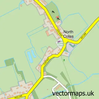
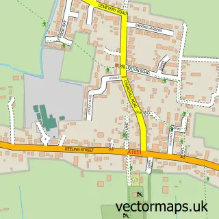
This Marshchapel street map is a detailed vector street map covering a 750m x 750m area. Select a larger area to create and download your own vector street map of Marshchapel.
The 750-metre map sample for Marshchapel covers 249 mapped buildings and approximately 14.0 km of road detail, of which 11 named roads are named. The immediate area includes 1 school, 2 pubs and 1 MOT station. The wider area around Marshchapel features 2 food and drink venues. To create a larger or custom map of Marshchapel, the map builder lets you define your own coverage area and download editable SVG, PDF and PNG files.
Create a larger editable map of Marshchapel
Choose any area you need and generate a high-quality vector map instantly. Perfect for print, planning, design, business and personal use.

This Marshchapel street map in Lincolnshire is available as downloadable SVG, PDF and PNG map files, or as a printed map for planning, business, display, education, local information and design work. You can also create a larger custom map area using the map selector.
What this Marshchapel map sample shows
Marshchapel lies within Marshchapel Cp parish, part of Marshchapel & Somercotes ward in the East Lindsey District local authority area. The postcode geography for this area includes the DN postcode area, the DN36 postcode district and the DN36 5 postcode sector. Residents fall under the Nhs Lincolnshire Integrated Care Board for NHS services.
Local features near Marshchapel
Within 2 milesAmenities and services in and around Marshchapel.
Administrative and postcode information for Marshchapel
Marshchapel lies within Marshchapel Cp parish, part of Marshchapel & Somercotes ward in the East Lindsey District local authority area. The postcode geography for this area includes the DN postcode area, the DN36 postcode district and the DN36 5 postcode sector. Residents fall under the Nhs Lincolnshire Integrated Care Board for NHS services.
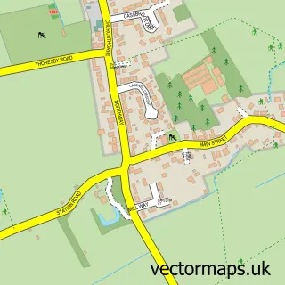
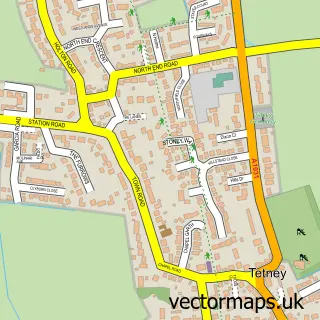
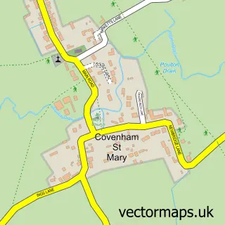
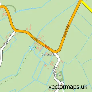
Nearby street map samples around Marshchapel

More street maps in Lincolnshire
750 metre map area coverage
Boundary, postcode and point of interest information for the 750m x 750m rectangle centred on this sample map.
Boundaries containing map centre
Constituency: Louth and Horncastle Co Const
County: Lincolnshire County
District: East Lindsey District
Icb: NHS Lincolnshire ICB
Parish: Marshchapel CP
Police Force: lincolnshire
Postcode District: DN36
Postcode Sector: DN36 5
Ward: Marshchapel & Somercotes Ward
Nearby boundaries intersecting sample
No additional intersecting boundaries found.
Postcode coverage
POI category counts
Convenience Store: 2
Elementary School: 2
Pub: 2
Shipping Center: 2
Automotive Repair: 1
Beauty And Spa: 1
Butcher Shop: 1
Cleaning Services: 1
Farm: 1
Gym: 1
Sample points of interest
- Marshchapel Service Station
- The Beauty Room
- Marshchapel Butchers
- Stephen's Carpet Cleaning Services
- Lifestyle Express
- Premier Marshchapel Stores
- Marshchapel & Grainthorpe Schools
- Marshchapel Primary School
- Littlefield Farm
- Bodyology UK
- B Marsh Decorators Ltd
- Marshchapel Store and Post Office
Create a larger editable map of Marshchapel
This sample shows only a 750 metre area. To create a larger map of Marshchapel, use our map builder to choose your own coverage area, add titles and download editable SVG, PDF and PNG files.
Create a custom map of Marshchapel