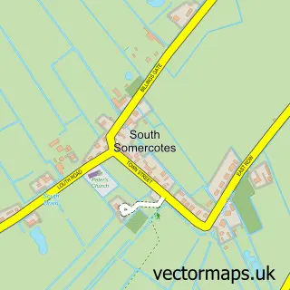
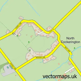
This North Somercotes street map is a detailed vector street map covering a 750m x 750m area. Select a larger area to create and download your own vector street map of North Somercotes.
The 750-metre map sample for North Somercotes covers 352 mapped buildings and approximately 7.5 km of road detail, of which 15 named roads are named. The immediate area includes 1 school, 1 GP surgery, 1 pub and 1 MOT station. The wider area around North Somercotes features 1 food and drink venue and 1 hotel. To create a larger or custom map of North Somercotes, the map builder lets you define your own coverage area and download editable SVG, PDF and PNG files.
Create a larger editable map of North Somercotes
Choose any area you need and generate a high-quality vector map instantly. Perfect for print, planning, design, business and personal use.

This North Somercotes street map in Lincolnshire is available as downloadable SVG, PDF and PNG map files, or as a printed map for planning, business, display, education, local information and design work. You can also create a larger custom map area using the map selector.
What this North Somercotes map sample shows
North Somercotes lies within North Somercotes Cp parish, part of Marshchapel & Somercotes ward in the East Lindsey District local authority area. The postcode geography for this area includes the LN postcode area, the LN11 postcode district and the LN11 7 postcode sector. Residents fall under the Nhs Lincolnshire Integrated Care Board for NHS services.
Local features near North Somercotes
Within 2 milesAmenities and services in and around North Somercotes.
Administrative and postcode information for North Somercotes
The local authority covering North Somercotes is East Lindsey District, within the county of Lincolnshire. The settlement lies within Marshchapel & Somercotes ward and North Somercotes Cp civil parish. The LN11 postcode district and LN11 7 postcode sector serve the immediate area. NHS provision in the area is delivered through Northern Lincolnshire And Goole Nhs Foundation Trust.
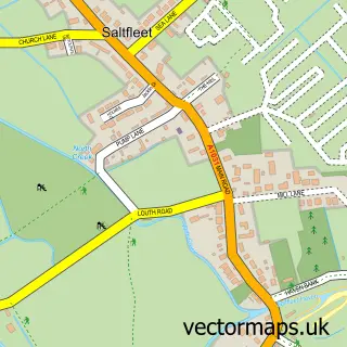
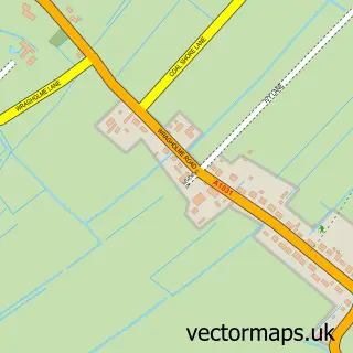
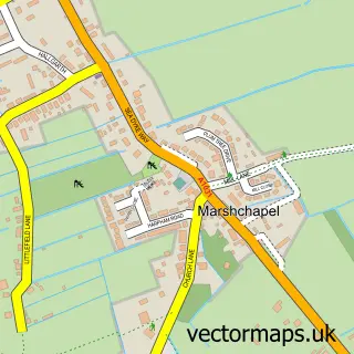
Nearby street map samples around North Somercotes

More street maps in Lincolnshire
750 metre map area coverage
Boundary, postcode and point of interest information for the 750m x 750m rectangle centred on this sample map.
Boundaries containing map centre
Constituency: Louth and Horncastle Co Const
County: Lincolnshire County
District: East Lindsey District
Icb: NHS Lincolnshire ICB
Parish: North Somercotes CP
Police Force: lincolnshire
Postcode District: LN11
Postcode Sector: LN11 7
Ward: Marshchapel & Somercotes Ward
Nearby boundaries intersecting sample
No additional intersecting boundaries found.
Postcode coverage
POI category counts
Convenience Store: 4
Automotive Repair: 2
Bakery: 1
Bar: 1
Beach: 1
Beauty Salon: 1
Bed And Breakfast: 1
Dentist: 1
Elementary School: 1
Hair Salon: 1
Sample points of interest
- Greenard's Garage
- Greenards Garage Ltd
- Mandy's Basic Bakes
- The Bay Horse
- Mablethorpe Beach
- Pure Beauty
- The Old Manor @ North Somercotes
- McColl's
- SPAR - North Somercotes
- Somercotes Stores
- Spar
- The Dental Surgery
Create a larger editable map of North Somercotes
This sample shows only a 750 metre area. To create a larger map of North Somercotes, use our map builder to choose your own coverage area, add titles and download editable SVG, PDF and PNG files.
Create a custom map of North Somercotes