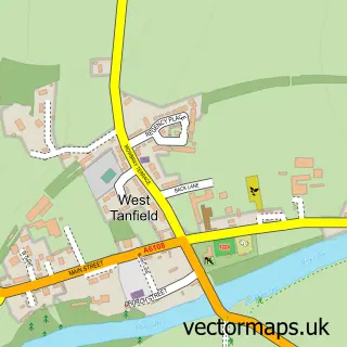
This Grewelthorpe street map is a detailed vector street map covering a 750m x 750m area. Select a larger area to create and download your own vector street map of Grewelthorpe.
The 750-metre map sample for Grewelthorpe covers 170 mapped buildings and approximately 8.7 km of road detail, of which 6 named roads are named. The immediate area includes 1 school, 2 pubs and 1 MOT station within 2 miles. The wider area around Grewelthorpe features 3 food and drink venues, 1 hotel and 1 campsite within 2 miles. To create a larger or custom map of Grewelthorpe, the map builder lets you define your own coverage area and download editable SVG, PDF and PNG files.
Create a larger editable map of Grewelthorpe
Choose any area you need and generate a high-quality vector map instantly. Perfect for print, planning, design, business and personal use.

This Grewelthorpe street map in North Yorkshire is available as downloadable SVG, PDF and PNG map files, or as a printed map for planning, business, display, education, local information and design work. You can also create a larger custom map area using the map selector.
What this Grewelthorpe map sample shows
Grewelthorpe lies within Grewelthorpe Cp parish, part of Masham & Kirkby Malzeard ward in the North Yorkshire local authority area. The postcode geography for this area includes the HG postcode area, the HG4 postcode district and the HG4 3 postcode sector. Residents fall under the Nhs Humber And North Yorkshire Integrated Care Board for NHS services.
Local features near Grewelthorpe
Within 2 milesAmenities and services in and around Grewelthorpe.
Administrative and postcode information for Grewelthorpe
The local authority covering Grewelthorpe is North Yorkshire, within the county of North Yorkshire. The settlement lies within Masham & Kirkby Malzeard ward and Grewelthorpe Cp civil parish. The HG4 postcode district and HG4 3 postcode sector serve the immediate area. NHS provision in the area is delivered through Harrogate And District Nhs Foundation Trust.
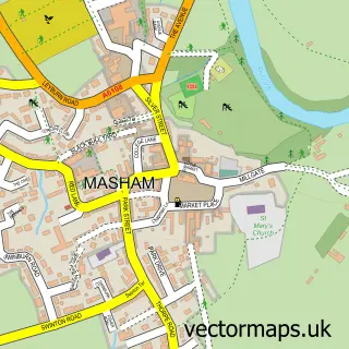
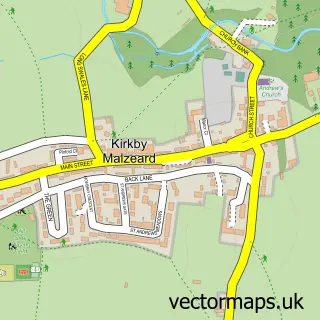
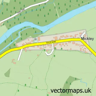
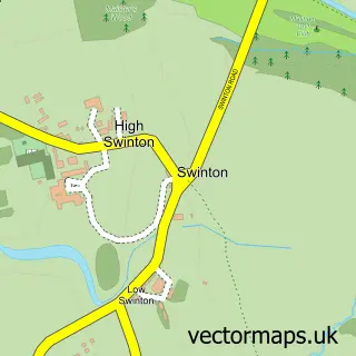
Nearby street map samples around Grewelthorpe

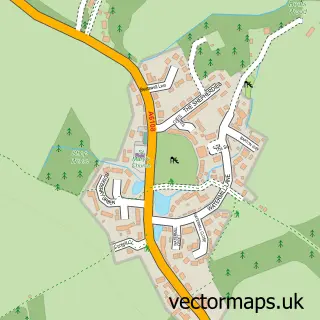

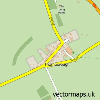
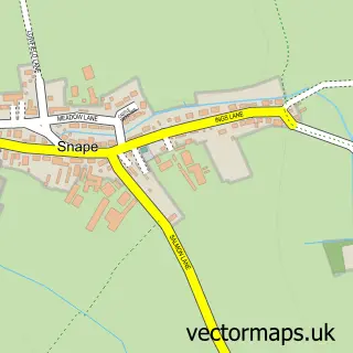
More street maps in North Yorkshire
750 metre map area coverage
Boundary, postcode and point of interest information for the 750m x 750m rectangle centred on this sample map.
Boundaries containing map centre
Constituency: Skipton and Ripon Co Const
District: North Yorkshire
Icb: NHS Humber and North Yorkshire ICB
Parish: Grewelthorpe CP
Police Force: north yorkshire
Postcode District: HG4
Postcode Sector: HG4 3
Nearby boundaries intersecting sample
Parish: Kirkby Malzeard CP
Postcode coverage
POI category counts
Community Center: 2
Pub: 2
Anglican Church: 1
Bakery: 1
Bed And Breakfast: 1
Bridal Shop: 1
Cafe: 1
Dairy Farm: 1
Elementary School: 1
Financial Service: 1
Sample points of interest
- Grewelthorpe: St James
- The Chocolate Cauldron
- Low Foulgate Bed & Breakfast
- Aquarius Wedding Cars
- Hackfall Cafe & Grewelthorpe
- Grewelthorpe Village Hall
- Mechanics Institute Village Hall
- Crimbledale Raw Milk
- Grewelthorpe Church of England Primary School
- Redsky Corporate Services
- The Crown Inn
- The Crown Inn
Create a larger editable map of Grewelthorpe
This sample shows only a 750 metre area. To create a larger map of Grewelthorpe, use our map builder to choose your own coverage area, add titles and download editable SVG, PDF and PNG files.
Create a custom map of Grewelthorpe