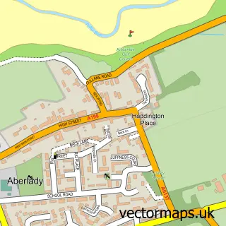
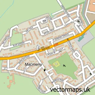
This Haddington street map is a detailed vector street map covering a 750m x 750m area. Select a larger area to create and download your own vector street map of Haddington.
The 750-metre map sample for Haddington covers 314 mapped buildings and approximately 16.9 km of road detail, of which 48 named roads are named. The immediate area includes 3 GP surgeries, 3 pubs and 6 MOT stations within 2 miles. The wider area around Haddington features 6 tourism points of interest, 24 food and drink venues and 1 hotel. To create a larger or custom map of Haddington, the map builder lets you define your own coverage area and download editable SVG, PDF and PNG files.
Create a larger editable map of Haddington
Choose any area you need and generate a high-quality vector map instantly. Perfect for print, planning, design, business and personal use.

This Haddington street map in East Lothian is available as downloadable SVG, PDF and PNG map files, or as a printed map for planning, business, display, education, local information and design work. You can also create a larger custom map area using the map selector.
What this Haddington map sample shows
Haddington lies within East Lothian parish, part of Haddington And Lammermuir ward in the East Lothian local authority area. The postcode geography for this area includes the EH postcode area, the EH41 postcode district and the EH41 3 postcode sector. Residents fall under the Lothian for NHS services.
Local features near Haddington
Within 2 milesAmenities and services in and around Haddington.
Administrative and postcode information for Haddington
Haddington lies within East Lothian parish, part of Haddington And Lammermuir ward in the East Lothian local authority area. The postcode geography for this area includes the EH postcode area, the EH41 postcode district and the EH41 3 postcode sector. Residents fall under the Lothian for NHS services.
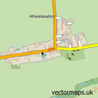
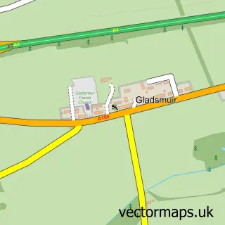
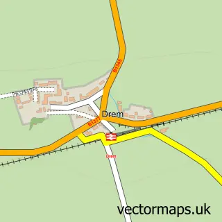
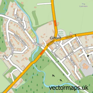
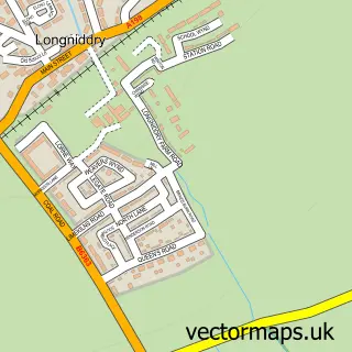
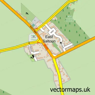
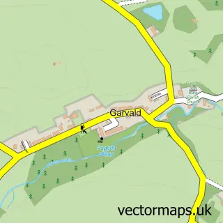
Nearby street map samples around Haddington

More street maps in East Lothian
750 metre map area coverage
Boundary, postcode and point of interest information for the 750m x 750m rectangle centred on this sample map.
Boundaries containing map centre
Constituency: Lothian East Co Const
District: East Lothian
Icb: Lothian
Postcode District: EH41
Postcode Sector: EH41 3
Ward: Haddington and Lammermuir Ward
Nearby boundaries intersecting sample
Postcode Sector: EH41 4
Postcode coverage
POI category counts
Beauty Salon: 10
Cafe: 10
Flowers And Gifts Shop: 7
Real Estate Agent: 7
Doctor: 6
Hair Salon: 6
Restaurant: 6
Beauty And Spa: 5
Coffee Shop: 5
Pharmacy: 5
Sample points of interest
- C A Cameron ACA
- Douglas Home & Co. Chartered Accountants
- Laing's Online Office
- Radar Marketing
- Stonehillsalt P R
- Scottish Ambulance Service
- Pentangle Antiques
- Sue Ryder Care
- Yesterdays
- John Lancaster Architect
- John Gray Centre
- The Bead Shop
Create a larger editable map of Haddington
This sample shows only a 750 metre area. To create a larger map of Haddington, use our map builder to choose your own coverage area, add titles and download editable SVG, PDF and PNG files.
Create a custom map of Haddington