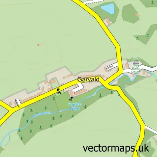
This Athelstaneford street map is a detailed vector street map covering a 750m x 750m area. Select a larger area to create and download your own vector street map of Athelstaneford.
The 750-metre map sample for Athelstaneford covers 92 mapped buildings and approximately 5.6 km of road detail, of which 4 named roads are named. The wider area around Athelstaneford features 1 campsite within 2 miles. To create a larger or custom map of Athelstaneford, the map builder lets you define your own coverage area and download editable SVG, PDF and PNG files.
Create a larger editable map of Athelstaneford
Choose any area you need and generate a high-quality vector map instantly. Perfect for print, planning, design, business and personal use.

This Athelstaneford street map in East Lothian is available as downloadable SVG, PDF and PNG map files, or as a printed map for planning, business, display, education, local information and design work. You can also create a larger custom map area using the map selector.
What this Athelstaneford map sample shows
Athelstaneford lies within East Lothian parish, part of Haddington And Lammermuir ward in the East Lothian local authority area. The postcode geography for this area includes the EH postcode area, the EH39 postcode district and the EH39 5 postcode sector. Residents fall under the Lothian for NHS services.
Local features near Athelstaneford
Within 2 milesAmenities and services in and around Athelstaneford.
Administrative and postcode information for Athelstaneford
Athelstaneford lies within East Lothian parish, part of Haddington And Lammermuir ward in the East Lothian local authority area. The postcode geography for this area includes the EH postcode area, the EH39 postcode district and the EH39 5 postcode sector. Residents fall under the Lothian for NHS services.
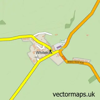
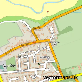
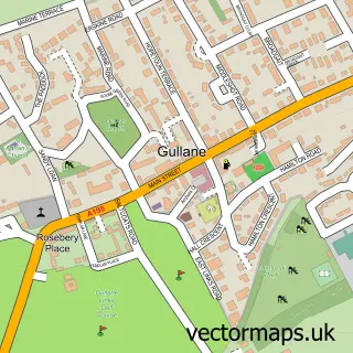
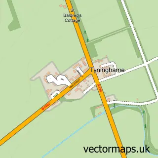
Nearby street map samples around Athelstaneford
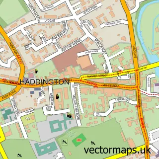

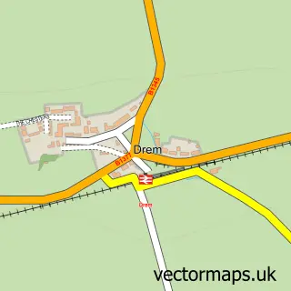
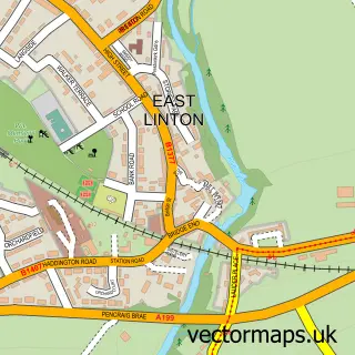
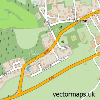
More street maps in East Lothian
750 metre map area coverage
Boundary, postcode and point of interest information for the 750m x 750m rectangle centred on this sample map.
Boundaries containing map centre
Constituency: Lothian East Co Const
District: East Lothian
Icb: Lothian
Postcode District: EH39
Postcode Sector: EH39 5
Ward: Haddington and Lammermuir Ward
Nearby boundaries intersecting sample
Postcode District: EH41
Postcode Sector: EH41 3
Postcode coverage
POI category counts
Accountant: 1
Arts And Entertainment: 1
Charity Organization: 1
Child Care And Day Care: 1
Church Cathedral: 1
Community Center: 1
Elementary School: 1
Flowers And Gifts Shop: 1
Sample points of interest
- ELM Tax & Accountancy
- Athelstaneford Flag Heritage Centre
- Saltire Scotland - The Scottish Flag Trust
- Mary Poppins Nursery
- Athelstaneford Parish Church
- Athelstaneford Village Hall
- Athelstaneford Primary School
- Catkins
Create a larger editable map of Athelstaneford
This sample shows only a 750 metre area. To create a larger map of Athelstaneford, use our map builder to choose your own coverage area, add titles and download editable SVG, PDF and PNG files.
Create a custom map of Athelstaneford