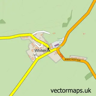
This Gullane street map is a detailed vector street map covering a 750m x 750m area. Select a larger area to create and download your own vector street map of Gullane.
The 750-metre map sample for Gullane covers 347 mapped buildings and approximately 18.6 km of road detail, of which 27 named roads are named. The immediate area includes 1 GP surgery, 2 pubs and 2 MOT stations within 2 miles. The wider area around Gullane features 2 tourism points of interest, 7 food and drink venues and 3 hotels. To create a larger or custom map of Gullane, the map builder lets you define your own coverage area and download editable SVG, PDF and PNG files.
Create a larger editable map of Gullane
Choose any area you need and generate a high-quality vector map instantly. Perfect for print, planning, design, business and personal use.

This Gullane street map in East Lothian is available as downloadable SVG, PDF and PNG map files, or as a printed map for planning, business, display, education, local information and design work. You can also create a larger custom map area using the map selector.
What this Gullane map sample shows
Gullane lies within East Lothian parish, part of North Berwick Coastal ward in the East Lothian local authority area. The postcode geography for this area includes the EH postcode area, the EH31 postcode district and the EH31 2 postcode sector. Residents fall under the Lothian for NHS services.
Local features near Gullane
Within 2 milesAmenities and services in and around Gullane.
Administrative and postcode information for Gullane
Gullane lies within East Lothian parish, part of North Berwick Coastal ward in the East Lothian local authority area. The postcode geography for this area includes the EH postcode area, the EH31 postcode district and the EH31 2 postcode sector. Residents fall under the Lothian for NHS services.
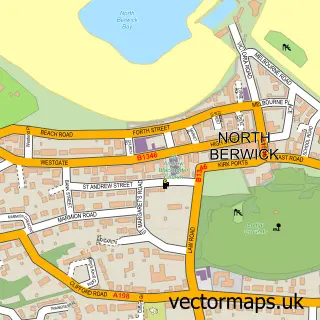
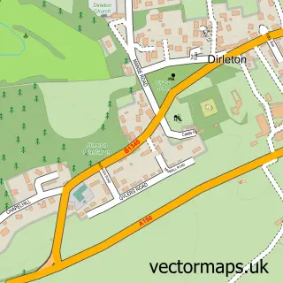
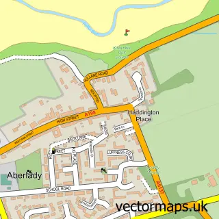
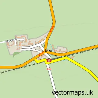
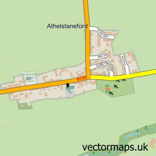
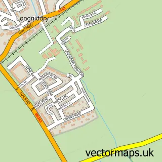
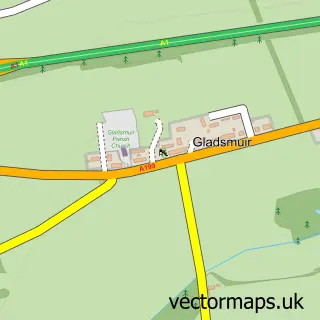
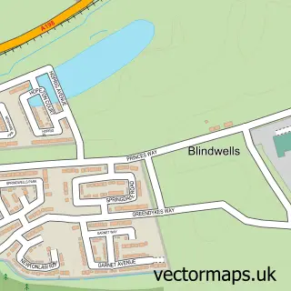
Nearby street map samples around Gullane

More street maps in East Lothian
750 metre map area coverage
Boundary, postcode and point of interest information for the 750m x 750m rectangle centred on this sample map.
Boundaries containing map centre
Constituency: Lothian East Co Const
District: East Lothian
Icb: Lothian
Postcode District: EH31
Postcode Sector: EH31 2
Ward: North Berwick Coastal Ward
Nearby boundaries intersecting sample
No additional intersecting boundaries found.
Postcode coverage
POI category counts
Doctor: 4
Sporting Goods: 4
Bed And Breakfast: 3
Flowers And Gifts Shop: 3
Hotel: 3
Restaurant: 3
Art Gallery: 2
Beach: 2
Church Cathedral: 2
Coffee Shop: 2
Sample points of interest
- Gullane Antiques
- Fidra Fine Art
- Gullane Art Gallery
- The Cooperative Food (BF) Gullane, Main St
- Goosegreen Bakery
- Bank Of Scotland
- Tho Old Clubhouse, Gullane, East Lothian
- Gullane Sands Beach
- Muirfield Beach
- 2 Goose Green Mews
- Maple Cottage B&B
- Maple Cottage B&B
Create a larger editable map of Gullane
This sample shows only a 750 metre area. To create a larger map of Gullane, use our map builder to choose your own coverage area, add titles and download editable SVG, PDF and PNG files.
Create a custom map of Gullane