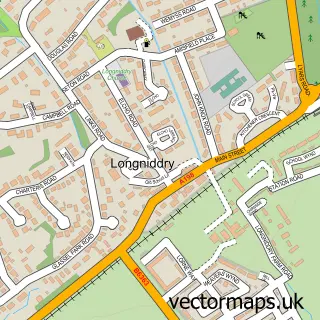
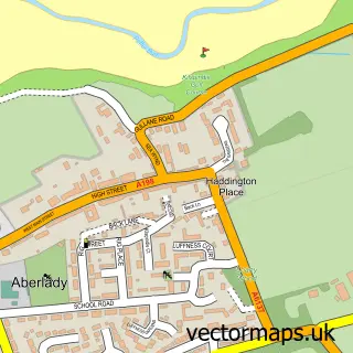
This Longniddry Village street map is a detailed vector street map covering a 750m x 750m area. Select a larger area to create and download your own vector street map of Longniddry Village.
The 750-metre map sample for Longniddry Village covers 232 mapped buildings and approximately 6.2 km of road detail, of which 7 named roads are named. The immediate area includes 1 pub and 1 MOT station, with 4 within 2 miles. The wider area around Longniddry Village features 3 food and drink venues and 1 campsite within 2 miles. To create a larger or custom map of Longniddry Village, the map builder lets you define your own coverage area and download editable SVG, PDF and PNG files.
Create a larger editable map of Longniddry Village
Choose any area you need and generate a high-quality vector map instantly. Perfect for print, planning, design, business and personal use.

This Longniddry Village street map in East Lothian is available as downloadable SVG, PDF and PNG map files, or as a printed map for planning, business, display, education, local information and design work. You can also create a larger custom map area using the map selector.
What this Longniddry Village map sample shows
Longniddry Village lies within East Lothian parish, part of Preston, Seton And Gosford ward in the East Lothian local authority area. The postcode geography for this area includes the EH postcode area, the EH32 postcode district and the EH32 0 postcode sector. Residents fall under the Lothian for NHS services.
Local features near Longniddry Village
Within 2 milesAmenities and services in and around Longniddry Village.
Administrative and postcode information for Longniddry Village
Longniddry Village lies within East Lothian parish, part of Preston, Seton And Gosford ward in the East Lothian local authority area. The postcode geography for this area includes the EH postcode area, the EH32 postcode district and the EH32 0 postcode sector. Residents fall under the Lothian for NHS services.
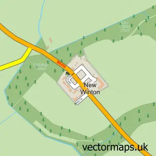
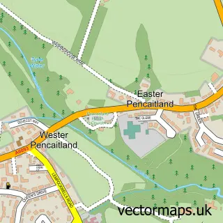
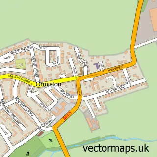
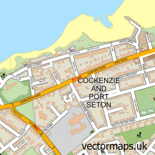
Nearby street map samples around Longniddry Village

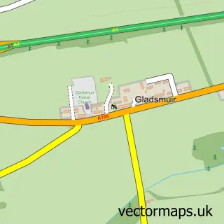
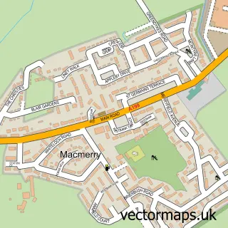
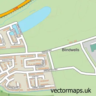
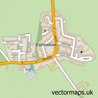
More street maps in East Lothian
750 metre map area coverage
Boundary, postcode and point of interest information for the 750m x 750m rectangle centred on this sample map.
Boundaries containing map centre
Constituency: Lothian East Co Const
District: East Lothian
Icb: Lothian
Postcode District: EH32
Postcode Sector: EH32 0
Ward: Preston, Seton and Gosford Ward
Nearby boundaries intersecting sample
No additional intersecting boundaries found.
Postcode coverage
POI category counts
Convenience Store: 3
Medical Center: 2
Shipping Center: 2
Automotive Repair: 1
Bank Credit Union: 1
Beauty Salon: 1
Cafe: 1
Coffee Shop: 1
Community Services Non Profits: 1
Cooking School: 1
Sample points of interest
- Longniddry Garage
- RBS
- Jules Health and Beauty
- Joli
- JoLi
- The Royal British Legion
- Co-op
- KeyStore More
- Keystore Longniddry
- Yarrow Cookery School | Cooking Classes | Cooking Lessons | Culinary Classes
- Post Office Travel Money
- The Surgery
Create a larger editable map of Longniddry Village
This sample shows only a 750 metre area. To create a larger map of Longniddry Village, use our map builder to choose your own coverage area, add titles and download editable SVG, PDF and PNG files.
Create a custom map of Longniddry Village