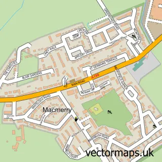
This Aberlady street map is a detailed vector street map covering a 750m x 750m area. Select a larger area to create and download your own vector street map of Aberlady.
The 750-metre map sample for Aberlady covers 227 mapped buildings and approximately 11.0 km of road detail, of which 17 named roads are named. The immediate area includes 1 MOT station within 2 miles. The wider area around Aberlady features 1 tourism point of interest, 2 food and drink venues and 2 hotels. To create a larger or custom map of Aberlady, the map builder lets you define your own coverage area and download editable SVG, PDF and PNG files.
Create a larger editable map of Aberlady
Choose any area you need and generate a high-quality vector map instantly. Perfect for print, planning, design, business and personal use.

This Aberlady street map in East Lothian is available as downloadable SVG, PDF and PNG map files, or as a printed map for planning, business, display, education, local information and design work. You can also create a larger custom map area using the map selector.
What this Aberlady map sample shows
Aberlady lies within East Lothian parish, part of North Berwick Coastal ward in the East Lothian local authority area. The postcode geography for this area includes the EH postcode area, the EH32 postcode district and the EH32 0 postcode sector. Residents fall under the Lothian for NHS services.
Local features near Aberlady
Within 2 milesAmenities and services in and around Aberlady.
Administrative and postcode information for Aberlady
Aberlady lies within East Lothian parish, part of North Berwick Coastal ward in the East Lothian local authority area. The postcode geography for this area includes the EH postcode area, the EH32 postcode district and the EH32 0 postcode sector. Residents fall under the Lothian for NHS services.
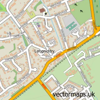
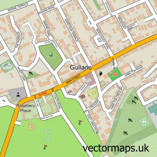
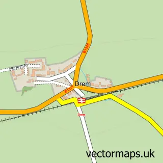
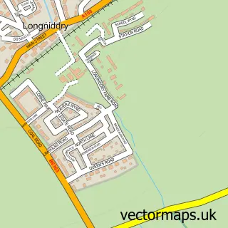
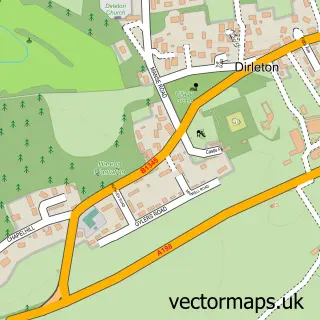
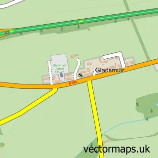
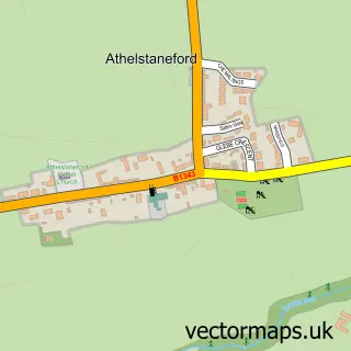
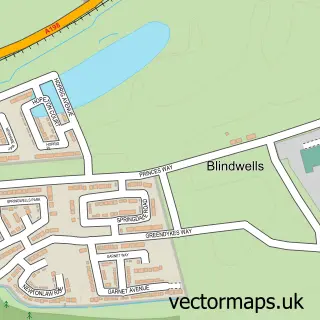
Nearby street map samples around Aberlady

More street maps in East Lothian
750 metre map area coverage
Boundary, postcode and point of interest information for the 750m x 750m rectangle centred on this sample map.
Boundaries containing map centre
Constituency: Lothian East Co Const
District: East Lothian
Icb: Lothian
Postcode District: EH32
Postcode Sector: EH32 0
Ward: North Berwick Coastal Ward
Nearby boundaries intersecting sample
No additional intersecting boundaries found.
Postcode coverage
POI category counts
Community Center: 2
Hotel: 2
Web Designer: 2
Beach: 1
Books Mags Music And Video: 1
Building Supply Store: 1
Business Management Services: 1
Coffee Shop: 1
Contractor: 1
Convenience Store: 1
Sample points of interest
- Aberlady Bay
- Aberlady Post Office
- Hamilton House Interiors
- Hamilton House
- Old Bakehouse Tearoom
- Aberlady Kirk Stables
- Aberlady Village Hall
- Darren Selby Services
- Aberlady Village Store
- Luffness School of Motoring
- Idelta Electrical Ltd.
- Aberlady Primary School
Create a larger editable map of Aberlady
This sample shows only a 750 metre area. To create a larger map of Aberlady, use our map builder to choose your own coverage area, add titles and download editable SVG, PDF and PNG files.
Create a custom map of Aberlady