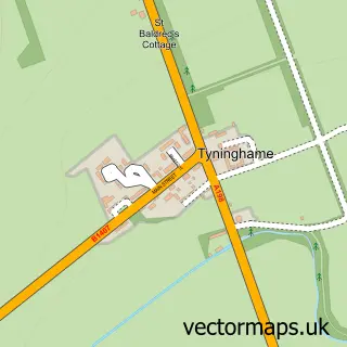
This Dirleton street map is a detailed vector street map covering a 750m x 750m area. Select a larger area to create and download your own vector street map of Dirleton.
The 750-metre map sample for Dirleton covers 142 mapped buildings and approximately 10.0 km of road detail, of which 11 named roads are named. The immediate area includes 1 GP surgery within 2 miles and 3 MOT stations within 2 miles. The wider area around Dirleton features 1 tourism point of interest, 2 hotels and 1 campsite within 2 miles. To create a larger or custom map of Dirleton, the map builder lets you define your own coverage area and download editable SVG, PDF and PNG files.
Create a larger editable map of Dirleton
Choose any area you need and generate a high-quality vector map instantly. Perfect for print, planning, design, business and personal use.

This Dirleton street map in East Lothian is available as downloadable SVG, PDF and PNG map files, or as a printed map for planning, business, display, education, local information and design work. You can also create a larger custom map area using the map selector.
What this Dirleton map sample shows
Dirleton lies within East Lothian parish, part of North Berwick Coastal ward in the East Lothian local authority area. The postcode geography for this area includes the EH postcode area, the EH39 postcode district and the EH39 5 postcode sector. Residents fall under the Lothian for NHS services.
Local features near Dirleton
Within 2 milesAmenities and services in and around Dirleton.
Administrative and postcode information for Dirleton
Dirleton lies within East Lothian parish, part of North Berwick Coastal ward in the East Lothian local authority area. The postcode geography for this area includes the EH postcode area, the EH39 postcode district and the EH39 5 postcode sector. Residents fall under the Lothian for NHS services.
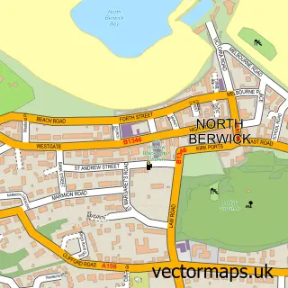
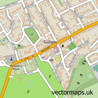
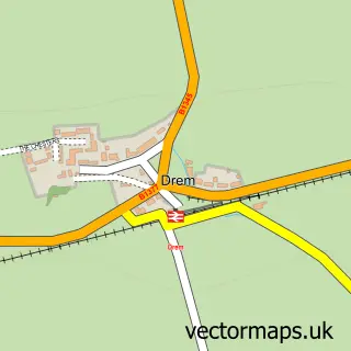
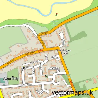
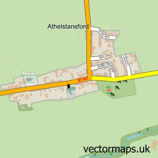
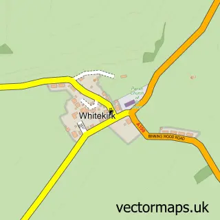
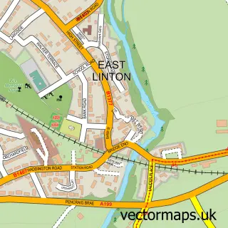
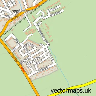
Nearby street map samples around Dirleton

More street maps in East Lothian
750 metre map area coverage
Boundary, postcode and point of interest information for the 750m x 750m rectangle centred on this sample map.
Boundaries containing map centre
Constituency: Lothian East Co Const
District: East Lothian
Icb: Lothian
Postcode District: EH39
Postcode Sector: EH39 5
Ward: North Berwick Coastal Ward
Nearby boundaries intersecting sample
No additional intersecting boundaries found.
Postcode coverage
POI category counts
Hotel: 2
Castle: 1
Elementary School: 1
Equestrian Facility: 1
Farmers Market: 1
Flowers And Gifts Shop: 1
Golf Course: 1
Inn: 1
It Service And Computer Repair: 1
Software Development: 1
Sample points of interest
- Dirleton Castle
- Dirleton Primary School
- Congalton Garden Stables Equestrian Retirement Livery
- Dirleton Market on the Green
- Secret Garden Events Florist
- The Renaissance Club
- Leuchie Accessible Self Catering Holidays
- The Open Arms
- The Castle Inn
- Dirleton PC Doctor
- RWF Talking Software for the Blind
- Dirleton Castle & Gardens
Create a larger editable map of Dirleton
This sample shows only a 750 metre area. To create a larger map of Dirleton, use our map builder to choose your own coverage area, add titles and download editable SVG, PDF and PNG files.
Create a custom map of Dirleton