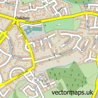
This Hafodyrynys street map is a detailed vector street map covering a 750m x 750m area. Select a larger area to create and download your own vector street map of Hafodyrynys.
The 750-metre map sample for Hafodyrynys covers 87 mapped buildings and approximately 11.1 km of road detail, of which 5 named roads are named. The immediate area includes 3 MOT stations within 2 miles. The wider area around Hafodyrynys features 1 tourism point of interest. To create a larger or custom map of Hafodyrynys, the map builder lets you define your own coverage area and download editable SVG, PDF and PNG files.
Create a larger editable map of Hafodyrynys
Choose any area you need and generate a high-quality vector map instantly. Perfect for print, planning, design, business and personal use.

This Hafodyrynys street map in Gwent is available as downloadable SVG, PDF and PNG map files, or as a printed map for planning, business, display, education, local information and design work. You can also create a larger custom map area using the map selector.
What this Hafodyrynys map sample shows
Hafodyrynys lies within Llanhilleth Community parish, part of Llanhilleth ward in the Blaenau Gwent - Blaenau Gwent local authority area. The postcode geography for this area includes the NP postcode area, the NP11 postcode district and the NP11 5 postcode sector. Residents fall under the Aneurin Bevan University Health Board for NHS services.
Local features near Hafodyrynys
Within 2 milesAmenities and services in and around Hafodyrynys.
Administrative and postcode information for Hafodyrynys
The local authority covering Hafodyrynys is Blaenau Gwent - Blaenau Gwent, within the county of Gwent. The settlement lies within Llanhilleth ward and Llanhilleth Community civil parish. The NP11 postcode district and NP11 5 postcode sector serve the immediate area. NHS provision in the area is delivered through Aneurin Bevan University Health Board.
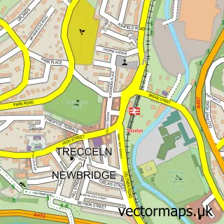
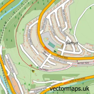
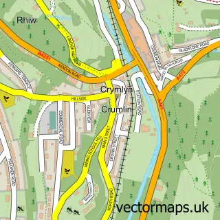
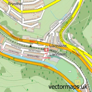
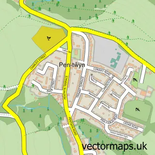
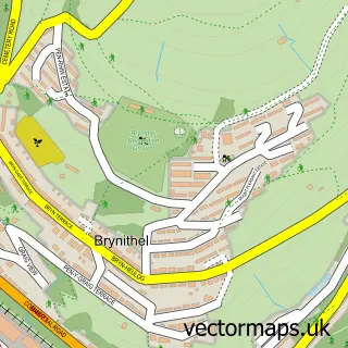
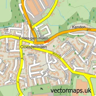
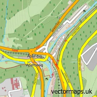
Nearby street map samples around Hafodyrynys

More street maps in Gwent
750 metre map area coverage
Boundary, postcode and point of interest information for the 750m x 750m rectangle centred on this sample map.
Boundaries containing map centre
Constituency: Newport West and Islwyn Co Const
District: Caerffili - Caerphilly
Icb: Aneurin Bevan University
Parish: Crumlin Community
Police Force: gwent
Postcode District: NP11
Postcode Sector: NP11 5
Nearby boundaries intersecting sample
Constituency: Blaenau Gwent and Rhymney Co Const, Torfaen Co Const
District: Blaenau Gwent - Blaenau Gwent, Torfaen - Torfaen
Parish: Llanhilleth Community, Pen Tranch Community
Postcode coverage
POI category counts
Advertising Agency: 2
Auto Glass Service: 1
Beauty Salon: 1
Car Wash: 1
Fast Food Restaurant: 1
Landmark And Historical Building: 1
Public And Government Association: 1
Sports Club And League: 1
Taxi Service: 1
Telecommunications Company: 1
Sample points of interest
- Cwtch Media
- Cwtch Media
- Abbey Glazing & UPVC Repairs
- Nikki's Beauty Clinic
- Dylan Hand Car Wash
- Happy Garden
- Hafodyrynys
- Hafodyrynys Community Hall
- Hafodyrynys Rugby Football Club
- Jos Taxis
- Niftytec
Create a larger editable map of Hafodyrynys
This sample shows only a 750 metre area. To create a larger map of Hafodyrynys, use our map builder to choose your own coverage area, add titles and download editable SVG, PDF and PNG files.
Create a custom map of Hafodyrynys