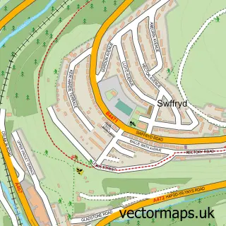
This Llanhilleth street map is a detailed vector street map covering a 750m x 750m area. Select a larger area to create and download your own vector street map of Llanhilleth.
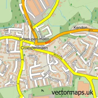
The 750-metre map sample for Llanhilleth covers 179 mapped buildings and approximately 59.9 km of road detail, of which 22 named roads are named. The immediate area includes 1 railway station and 4 MOT stations within 2 miles. The wider area around Llanhilleth features 4 food and drink venues and 2 hotels. To create a larger or custom map of Llanhilleth, the map builder lets you define your own coverage area and download editable SVG, PDF and PNG files.
Create a larger editable map of Llanhilleth
Choose any area you need and generate a high-quality vector map instantly. Perfect for print, planning, design, business and personal use.

This Llanhilleth street map in Gwent is available as downloadable SVG, PDF and PNG map files, or as a printed map for planning, business, display, education, local information and design work. You can also create a larger custom map area using the map selector.
What this Llanhilleth map sample shows
Llanhilleth lies within Llanhilleth Community parish, part of Llanhilleth ward in the Blaenau Gwent - Blaenau Gwent local authority area. The postcode geography for this area includes the NP postcode area, the NP13 postcode district and the NP13 2 postcode sector. Residents fall under the Aneurin Bevan University Health Board for NHS services.
Local features near Llanhilleth
Within 2 milesAmenities and services in and around Llanhilleth.
Administrative and postcode information for Llanhilleth
Llanhilleth lies within Llanhilleth Community parish, part of Llanhilleth ward in the Blaenau Gwent - Blaenau Gwent local authority area. The postcode geography for this area includes the NP postcode area, the NP13 postcode district and the NP13 2 postcode sector. Residents fall under the Aneurin Bevan University Health Board for NHS services.
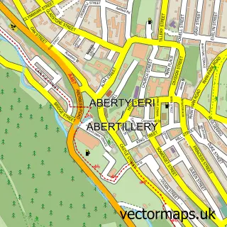
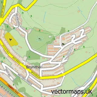
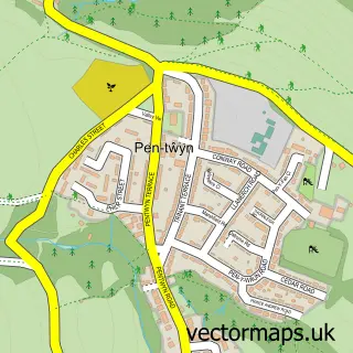
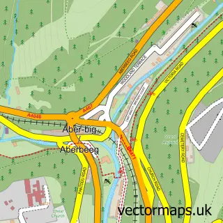
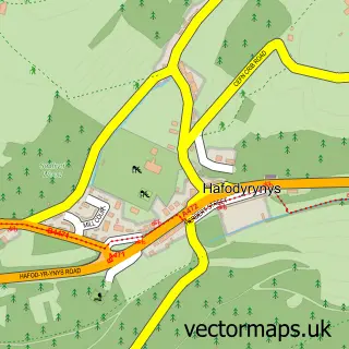
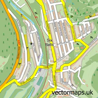
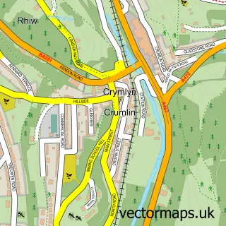
Nearby street map samples around Llanhilleth

More street maps in Gwent
750 metre map area coverage
Boundary, postcode and point of interest information for the 750m x 750m rectangle centred on this sample map.
Boundaries containing map centre
Constituency: Blaenau Gwent and Rhymney Co Const
District: Blaenau Gwent - Blaenau Gwent
Icb: Aneurin Bevan University
Parish: Llanhilleth Community
Police Force: gwent
Postcode District: NP13
Postcode Sector: NP13 2
Nearby boundaries intersecting sample
Constituency: Newport West and Islwyn Co Const
District: Caerffili - Caerphilly
Parish: Crumlin Community
Postcode District: NP11
Postcode Sector: NP11 3
Postcode coverage
POI category counts
Elementary School: 3
Building Supply Store: 2
Cafe: 2
Community Center: 2
Community Services Non Profits: 2
Convenience Store: 2
Driving School: 2
Electronics Repair Shop: 2
Fish And Chips Restaurant: 2
Hotel: 2
Sample points of interest
- Kairos-K LTD, UK
- Cyfan Arts
- The Lounge
- A1 salon hair & beauty
- Tudor brewery
- Executive Carpet Care
- Kendall Roofing
- Shorts Butchers Llanhilleth
- Cafe CWTCH at Llanhilleth institute
- Heritage Cafe
- Gemini CCS
- CLWB LLAN
Create a larger editable map of Llanhilleth
This sample shows only a 750 metre area. To create a larger map of Llanhilleth, use our map builder to choose your own coverage area, add titles and download editable SVG, PDF and PNG files.
Create a custom map of Llanhilleth