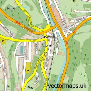
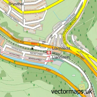
This Swffryd street map is a detailed vector street map covering a 750m x 750m area. Select a larger area to create and download your own vector street map of Swffryd.
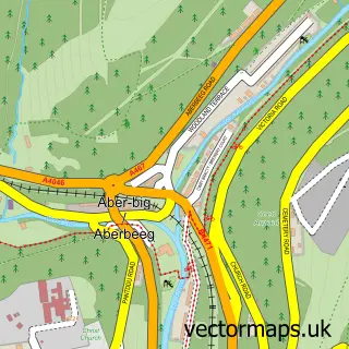
The 750-metre map sample for Swffryd covers 258 mapped buildings and approximately 35.7 km of road detail, of which 16 named roads are named. The immediate area includes 1 GP surgery within 2 miles and 1 MOT station, with 6 within 2 miles. The wider area around Swffryd features 1 food and drink venue. To create a larger or custom map of Swffryd, the map builder lets you define your own coverage area and download editable SVG, PDF and PNG files.
Create a larger editable map of Swffryd
Choose any area you need and generate a high-quality vector map instantly. Perfect for print, planning, design, business and personal use.

This Swffryd street map in Gwent is available as downloadable SVG, PDF and PNG map files, or as a printed map for planning, business, display, education, local information and design work. You can also create a larger custom map area using the map selector.
What this Swffryd map sample shows
Swffryd lies within Crumlin Community parish, part of Crumlin ward in the Caerffili - Caerphilly local authority area. The postcode geography for this area includes the NP postcode area, the NP11 postcode district and the NP11 5 postcode sector. Residents fall under the Aneurin Bevan University Health Board for NHS services.
Local features near Swffryd
Within 2 milesAmenities and services in and around Swffryd.
Administrative and postcode information for Swffryd
Swffryd lies within Crumlin Community parish, part of Crumlin ward in the Caerffili - Caerphilly local authority area. The postcode geography for this area includes the NP postcode area, the NP11 postcode district and the NP11 5 postcode sector. Residents fall under the Aneurin Bevan University Health Board for NHS services.
Nearby street map samples around Swffryd
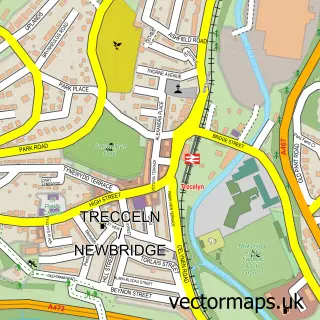

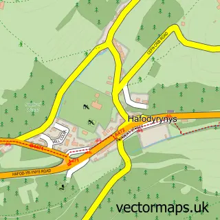
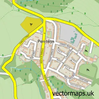
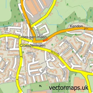
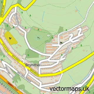
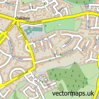
More street maps in Gwent
750 metre map area coverage
Boundary, postcode and point of interest information for the 750m x 750m rectangle centred on this sample map.
Boundaries containing map centre
Constituency: Blaenau Gwent and Rhymney Co Const
District: Blaenau Gwent - Blaenau Gwent
Icb: Aneurin Bevan University
Parish: Llanhilleth Community
Police Force: gwent
Postcode District: NP11
Postcode Sector: NP11 5
Nearby boundaries intersecting sample
Constituency: Newport West and Islwyn Co Const
District: Caerffili - Caerphilly
Parish: Crumlin Community
Postcode Sector: NP11 3
Postcode coverage
POI category counts
Convenience Store: 4
Driving School: 3
Furniture Store: 2
Automotive Repair: 1
Beauty And Spa: 1
Bridge: 1
Chimney Sweep: 1
Church Cathedral: 1
Coffee Shop: 1
Contractor: 1
Sample points of interest
- McCarthy D J and Co
- Cabello Hair sofrydd
- Crumlin Viaduct
- PPS Chimney Sweep
- Victory Church Swffryd
- Cafe 8
- S & R Builders
- Nisa Local
- SPAR
- Spar - Swffryd
- Spar - Swffryd
- Siren's Pole Dance
Create a larger editable map of Swffryd
This sample shows only a 750 metre area. To create a larger map of Swffryd, use our map builder to choose your own coverage area, add titles and download editable SVG, PDF and PNG files.
Create a custom map of Swffryd