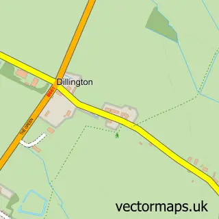
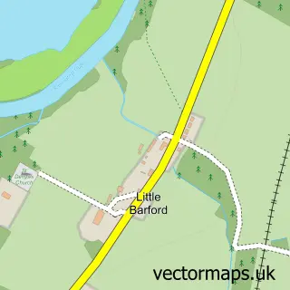
This Hail Weston street map is a detailed vector street map covering a 750m x 750m area. Select a larger area to create and download your own vector street map of Hail Weston.
The 750-metre map sample for Hail Weston covers 213 mapped buildings and approximately 7.9 km of road detail, of which 12 named roads are named. The immediate area includes 3 GP surgeries within 2 miles, 2 pubs and 2 MOT stations within 2 miles. The wider area around Hail Weston features 2 food and drink venues and 1 campsite within 2 miles. To create a larger or custom map of Hail Weston, the map builder lets you define your own coverage area and download editable SVG, PDF and PNG files.
Create a larger editable map of Hail Weston
Choose any area you need and generate a high-quality vector map instantly. Perfect for print, planning, design, business and personal use.

This Hail Weston street map in Cambridgeshire is available as downloadable SVG, PDF and PNG map files, or as a printed map for planning, business, display, education, local information and design work. You can also create a larger custom map area using the map selector.
What this Hail Weston map sample shows
Hail Weston lies within Hail Weston Cp parish, part of Great Staughton ward in the Huntingdonshire District local authority area. The postcode geography for this area includes the PE postcode area, the PE19 postcode district and the PE19 5 postcode sector. Residents fall under the Nhs Cambridgeshire And Peterborough Integrated Care Board for NHS services.
Local features near Hail Weston
Within 2 milesAmenities and services in and around Hail Weston.
Administrative and postcode information for Hail Weston
Hail Weston lies within Hail Weston Cp parish, part of Great Staughton ward in the Huntingdonshire District local authority area. The postcode geography for this area includes the PE postcode area, the PE19 postcode district and the PE19 5 postcode sector. Residents fall under the Nhs Cambridgeshire And Peterborough Integrated Care Board for NHS services.
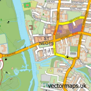
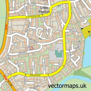
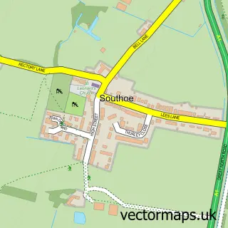
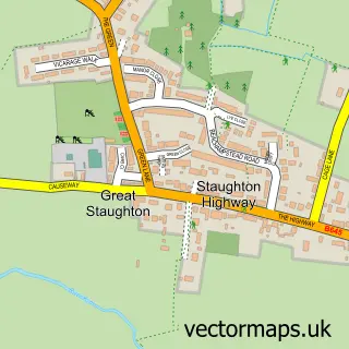
Nearby street map samples around Hail Weston

More street maps in Cambridgeshire
750 metre map area coverage
Boundary, postcode and point of interest information for the 750m x 750m rectangle centred on this sample map.
Boundaries containing map centre
Constituency: Huntingdon Co Const
County: Cambridgeshire County
District: Huntingdonshire District
Icb: NHS Central East ICB
Parish: Hail Weston CP
Police Force: cambridgeshire
Postcode District: PE19
Postcode Sector: PE19 5
Ward: Great Staughton Ward
Nearby boundaries intersecting sample
No additional intersecting boundaries found.
Postcode coverage
POI category counts
Employment Agencies: 2
Pub: 2
Anglican Church: 1
Building Contractor: 1
Building Supply Store: 1
Business: 1
Church Cathedral: 1
Community Center: 1
Contractor: 1
Event Technology Service: 1
Sample points of interest
- St Nicholas
- Polished Performance
- RGL Contracts
- Tensor plc
- St Nicholas's Church
- Hail Weston Village Hall
- Bakerail Services
- Acorn Technical Recruitment
- Acorn Technical Recruitment
- Fairytale Marquees
- Property Maintenance Services
- Toilet Turnstiles
Create a larger editable map of Hail Weston
This sample shows only a 750 metre area. To create a larger map of Hail Weston, use our map builder to choose your own coverage area, add titles and download editable SVG, PDF and PNG files.
Create a custom map of Hail Weston