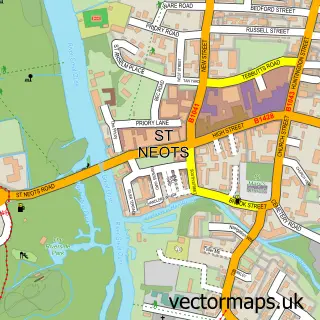
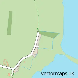
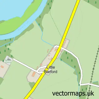
This Little Paxton street map is a detailed vector street map covering a 750m x 750m area. Select a larger area to create and download your own vector street map of Little Paxton.
The 750-metre map sample for Little Paxton covers 511 mapped buildings and approximately 15.5 km of road detail, of which 38 named roads are named. The immediate area includes 1 school, 3 GP surgeries within 2 miles, 1 pub and 5 MOT stations within 2 miles. The wider area around Little Paxton features 2 food and drink venues and 1 campsite within 2 miles. To create a larger or custom map of Little Paxton, the map builder lets you define your own coverage area and download editable SVG, PDF and PNG files.
Create a larger editable map of Little Paxton
Choose any area you need and generate a high-quality vector map instantly. Perfect for print, planning, design, business and personal use.

This Little Paxton street map in Cambridgeshire is available as downloadable SVG, PDF and PNG map files, or as a printed map for planning, business, display, education, local information and design work. You can also create a larger custom map area using the map selector.
What this Little Paxton map sample shows
Little Paxton lies within Little Paxton Cp parish, part of St Neots Priory Park & Little Paxton ward in the Huntingdonshire District local authority area. The postcode geography for this area includes the PE postcode area, the PE19 postcode district and the PE19 6 postcode sector. Residents fall under the Nhs Cambridgeshire And Peterborough Integrated Care Board for NHS services.
Local features near Little Paxton
Within 2 milesAmenities and services in and around Little Paxton.
Administrative and postcode information for Little Paxton
The local authority covering Little Paxton is Huntingdonshire District, within the county of Cambridgeshire. The settlement lies within St Neots Priory Park & Little Paxton ward and Little Paxton Cp civil parish. The PE19 postcode district and PE19 6 postcode sector serve the immediate area. NHS provision in the area is delivered through North West Anglia Nhs Foundation Trust.
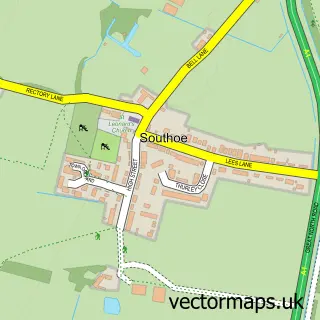
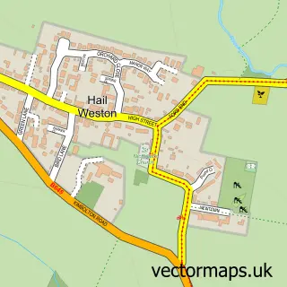
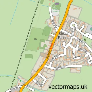
Nearby street map samples around Little Paxton

More street maps in Cambridgeshire
750 metre map area coverage
Boundary, postcode and point of interest information for the 750m x 750m rectangle centred on this sample map.
Boundaries containing map centre
Constituency: St. Neots and Mid Cambridgeshire Co Const
County: Cambridgeshire County
District: Huntingdonshire District
Icb: NHS Central East ICB
Parish: Little Paxton CP
Police Force: cambridgeshire
Postcode District: PE19
Postcode Sector: PE19 6
Ward: St. Neots Priory Park & Little Paxton Ward
Nearby boundaries intersecting sample
No additional intersecting boundaries found.
Postcode coverage
POI category counts
Professional Services: 3
Building Contractor: 2
Gardener: 2
Advertising Agency: 1
Building Supply Store: 1
Business Management Services: 1
Business To Business: 1
Carpenter: 1
Chinese Restaurant: 1
Church Cathedral: 1
Sample points of interest
- Federation Design Company
- G S Window Cleaning
- Seal Glazing Services
- ND Fencing & Building Services
- Training Matters
- Candles For All Ages
- PGS Carpets
- Golden House
- St James's Church
- Little Paxton Hub
- Open Construct
- Premier Little Paxton
Create a larger editable map of Little Paxton
This sample shows only a 750 metre area. To create a larger map of Little Paxton, use our map builder to choose your own coverage area, add titles and download editable SVG, PDF and PNG files.
Create a custom map of Little Paxton