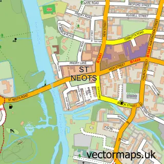
This Perry street map is a detailed vector street map covering a 750m x 750m area. Select a larger area to create and download your own vector street map of Perry.
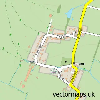
The 750-metre map sample for Perry covers 163 mapped buildings and approximately 13.8 km of road detail, of which 20 named roads are named. The immediate area includes 1 GP surgery within 2 miles and 2 pubs. The wider area around Perry features 3 food and drink venues. To create a larger or custom map of Perry, the map builder lets you define your own coverage area and download editable SVG, PDF and PNG files.
Create a larger editable map of Perry
Choose any area you need and generate a high-quality vector map instantly. Perfect for print, planning, design, business and personal use.

This Perry street map in Cambridgeshire is available as downloadable SVG, PDF and PNG map files, or as a printed map for planning, business, display, education, local information and design work. You can also create a larger custom map area using the map selector.
What this Perry map sample shows
Perry lies within Perry Cp parish, part of Great Staughton ward in the Huntingdonshire District local authority area. The postcode geography for this area includes the PE postcode area, the PE28 postcode district and the PE28 0 postcode sector. Residents fall under the Nhs Cambridgeshire And Peterborough Integrated Care Board for NHS services.
Local features near Perry
Within 2 milesAmenities and services in and around Perry.
Administrative and postcode information for Perry
Perry lies within Perry Cp parish, part of Great Staughton ward in the Huntingdonshire District local authority area. The postcode geography for this area includes the PE postcode area, the PE28 postcode district and the PE28 0 postcode sector. Residents fall under the Nhs Cambridgeshire And Peterborough Integrated Care Board for NHS services.
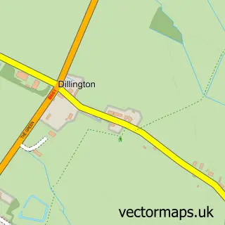
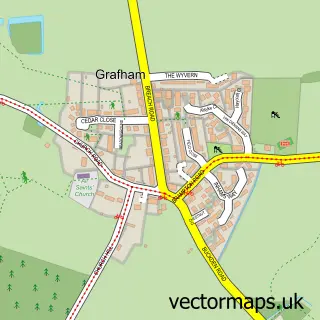
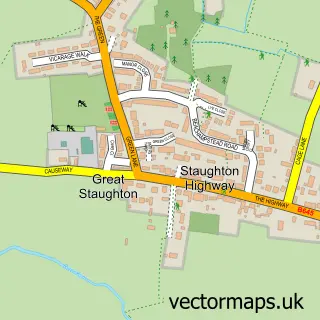
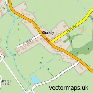
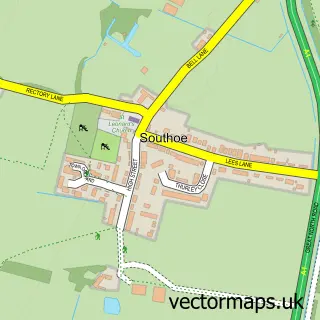
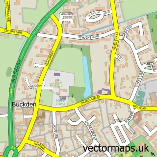
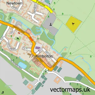
Nearby street map samples around Perry

More street maps in Cambridgeshire
750 metre map area coverage
Boundary, postcode and point of interest information for the 750m x 750m rectangle centred on this sample map.
Boundaries containing map centre
Constituency: Huntingdon Co Const
County: Cambridgeshire County
District: Huntingdonshire District
Icb: NHS Central East ICB
Parish: Perry CP
Police Force: cambridgeshire
Postcode District: PE28
Postcode Sector: PE28 0
Ward: Great Staughton Ward
Nearby boundaries intersecting sample
Parish: Grafham CP
Postcode coverage
POI category counts
Hvac Supplier: 2
Pub: 2
Shipping Center: 2
Appliance Store: 1
Architectural Designer: 1
Cafe: 1
Charity Organization: 1
Currency Exchange: 1
Flowers And Gifts Shop: 1
Lodge: 1
Sample points of interest
- Pas-Pat
- HousePlans UK
- Harbour View Cafe
- Wildlife Trust
- Post Office Travel Money
- Angels Wings and Pretty Things
- H H W Plumbing & Heating Services
- H H W Plumbing & Heating Services
- Grafham Water Fishing Lodge
- Touch Point Therapy
- Time To Unwind
- The Wheatsheaf
Create a larger editable map of Perry
This sample shows only a 750 metre area. To create a larger map of Perry, use our map builder to choose your own coverage area, add titles and download editable SVG, PDF and PNG files.
Create a custom map of Perry