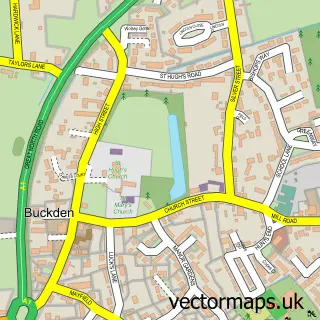
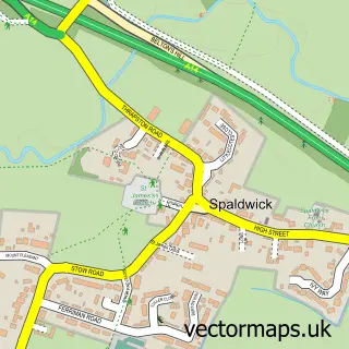
This Grafham street map is a detailed vector street map covering a 750m x 750m area. Select a larger area to create and download your own vector street map of Grafham.
The 750-metre map sample for Grafham covers 165 mapped buildings and approximately 8.7 km of road detail, of which 15 named roads are named. The immediate area includes 1 pub. The wider area around Grafham features 1 food and drink venue. To create a larger or custom map of Grafham, the map builder lets you define your own coverage area and download editable SVG, PDF and PNG files.
Create a larger editable map of Grafham
Choose any area you need and generate a high-quality vector map instantly. Perfect for print, planning, design, business and personal use.

This Grafham street map in Cambridgeshire is available as downloadable SVG, PDF and PNG map files, or as a printed map for planning, business, display, education, local information and design work. You can also create a larger custom map area using the map selector.
What this Grafham map sample shows
Grafham lies within Grafham Cp parish, part of Great Staughton ward in the Huntingdonshire District local authority area. The postcode geography for this area includes the PE postcode area, the PE28 postcode district and the PE28 0 postcode sector. Residents fall under the Nhs Cambridgeshire And Peterborough Integrated Care Board for NHS services.
Local features near Grafham
Within 2 milesAmenities and services in and around Grafham.
Administrative and postcode information for Grafham
Grafham lies within Grafham Cp parish, part of Great Staughton ward in the Huntingdonshire District local authority area. The postcode geography for this area includes the PE postcode area, the PE28 postcode district and the PE28 0 postcode sector. Residents fall under the Nhs Cambridgeshire And Peterborough Integrated Care Board for NHS services.
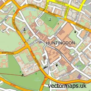
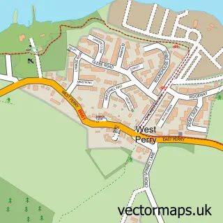
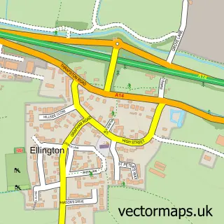
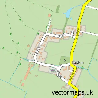
Nearby street map samples around Grafham

More street maps in Cambridgeshire
750 metre map area coverage
Boundary, postcode and point of interest information for the 750m x 750m rectangle centred on this sample map.
Boundaries containing map centre
Constituency: Huntingdon Co Const
County: Cambridgeshire County
District: Huntingdonshire District
Icb: NHS Central East ICB
Parish: Grafham CP
Police Force: cambridgeshire
Postcode District: PE28
Postcode Sector: PE28 0
Ward: Great Staughton Ward
Nearby boundaries intersecting sample
No additional intersecting boundaries found.
Postcode coverage
POI category counts
Convenience Store: 2
Indian Restaurant: 2
Accommodation: 1
Anglican Church: 1
Arts And Entertainment: 1
Auto Electrical Repair: 1
Beauty Salon: 1
Community Center: 1
Contractor: 1
Landscaping: 1
Sample points of interest
- Grafham water lodge
- All Saints, Grafham
- Grafham
- Hawkeye Surveillance Systems Ltd.
- C the Results
- Grafham Village Hall
- Hawkeye Security and Surveillance Systems
- Grafham Community Shop Ltd.
- Grafham Village Shop
- Cinnamon Indian Restaurant Grafham
- Cinnamon Restaurant
- Cambridgeshire Garden & Property Maintenance
Create a larger editable map of Grafham
This sample shows only a 750 metre area. To create a larger map of Grafham, use our map builder to choose your own coverage area, add titles and download editable SVG, PDF and PNG files.
Create a custom map of Grafham