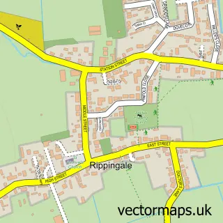
This Hanthorpe street map is a detailed vector street map covering a 750m x 750m area. Select a larger area to create and download your own vector street map of Hanthorpe.
The 750-metre map sample for Hanthorpe covers 199 mapped buildings and approximately 8.1 km of road detail, of which 10 named roads are named. The immediate area includes 1 GP surgery within 2 miles and 1 MOT station within 2 miles. To create a larger or custom map of Hanthorpe, the map builder lets you define your own coverage area and download editable SVG, PDF and PNG files.
Create a larger editable map of Hanthorpe
Choose any area you need and generate a high-quality vector map instantly. Perfect for print, planning, design, business and personal use.

This Hanthorpe street map in Lincolnshire is available as downloadable SVG, PDF and PNG map files, or as a printed map for planning, business, display, education, local information and design work. You can also create a larger custom map area using the map selector.
What this Hanthorpe map sample shows
Hanthorpe lies within Morton & Hanthorpe Cp parish, part of Morton ward in the South Kesteven District local authority area. The postcode geography for this area includes the PE postcode area, the PE10 postcode district and the PE10 0 postcode sector. Residents fall under the Nhs Lincolnshire Integrated Care Board for NHS services.
Local features near Hanthorpe
Within 2 milesAmenities and services in and around Hanthorpe.
Administrative and postcode information for Hanthorpe
Hanthorpe lies within Morton & Hanthorpe Cp parish, part of Morton ward in the South Kesteven District local authority area. The postcode geography for this area includes the PE postcode area, the PE10 postcode district and the PE10 0 postcode sector. Residents fall under the Nhs Lincolnshire Integrated Care Board for NHS services.
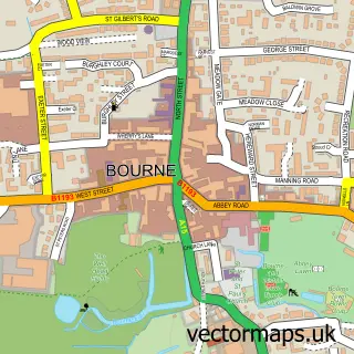
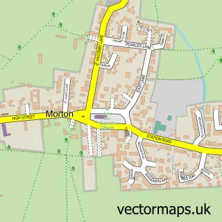
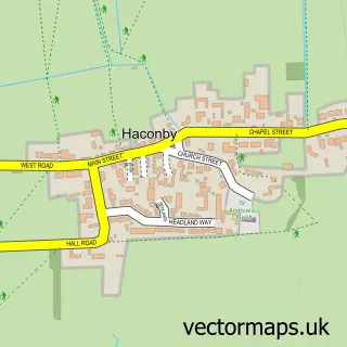
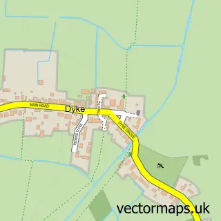
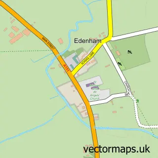
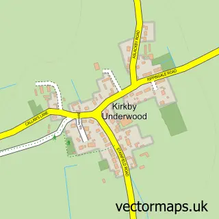
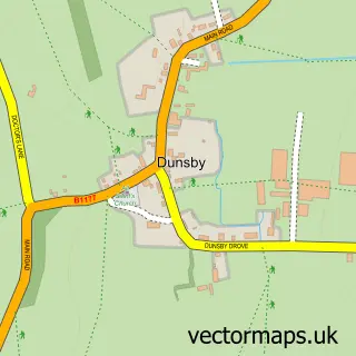
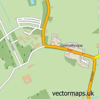
Nearby street map samples around Hanthorpe

More street maps in Lincolnshire
750 metre map area coverage
Boundary, postcode and point of interest information for the 750m x 750m rectangle centred on this sample map.
Boundaries containing map centre
Constituency: Grantham and Bourne Co Const
County: Lincolnshire County
District: South Kesteven District
Icb: NHS Lincolnshire ICB
Parish: Morton & Hanthorpe CP
Police Force: lincolnshire
Postcode District: PE10
Postcode Sector: PE10 0
Ward: Morton Ward
Nearby boundaries intersecting sample
No additional intersecting boundaries found.
Postcode coverage
POI category counts
Driving School: 3
Bed And Breakfast: 2
Interior Design: 1
Weight Loss Center: 1
Sample points of interest
- Maycroft Cottage
- Maycroft Cottage
- 2 Learn Driving School
- 2 Learn Driving School
- 2-Learn
- Kg Painting and Decorating Services
- The 1:1 Diet by Cambridge Weight Plan
Create a larger editable map of Hanthorpe
This sample shows only a 750 metre area. To create a larger map of Hanthorpe, use our map builder to choose your own coverage area, add titles and download editable SVG, PDF and PNG files.
Create a custom map of Hanthorpe