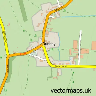
This Morton street map is a detailed vector street map covering a 750m x 750m area. Select a larger area to create and download your own vector street map of Morton.
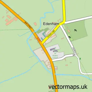
The 750-metre map sample for Morton covers 322 mapped buildings and approximately 8.5 km of road detail, of which 19 named roads are named. The immediate area includes 1 school, 1 GP surgery within 2 miles, 1 pub and 1 MOT station within 2 miles. The wider area around Morton features 1 tourism point of interest and 1 food and drink venue. To create a larger or custom map of Morton, the map builder lets you define your own coverage area and download editable SVG, PDF and PNG files.
Create a larger editable map of Morton
Choose any area you need and generate a high-quality vector map instantly. Perfect for print, planning, design, business and personal use.

This Morton street map in Lincolnshire is available as downloadable SVG, PDF and PNG map files, or as a printed map for planning, business, display, education, local information and design work. You can also create a larger custom map area using the map selector.
What this Morton map sample shows
Morton lies within Morton & Hanthorpe Cp parish, part of Morton ward in the South Kesteven District local authority area. The postcode geography for this area includes the PE postcode area, the PE10 postcode district and the PE10 0 postcode sector. Residents fall under the Nhs Lincolnshire Integrated Care Board for NHS services.
Local features near Morton
Within 2 milesAmenities and services in and around Morton.
Administrative and postcode information for Morton
The local authority covering Morton is South Kesteven District, within the county of Lincolnshire. The settlement lies within Morton ward and Morton & Hanthorpe Cp civil parish. The PE10 postcode district and PE10 0 postcode sector serve the immediate area. NHS provision in the area is delivered through North West Anglia Nhs Foundation Trust.
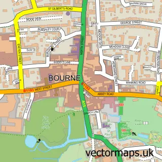
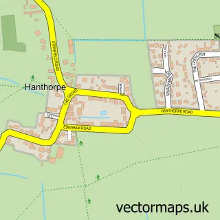
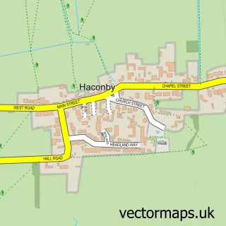
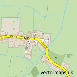
Nearby street map samples around Morton

More street maps in Lincolnshire
750 metre map area coverage
Boundary, postcode and point of interest information for the 750m x 750m rectangle centred on this sample map.
Boundaries containing map centre
Constituency: Grantham and Bourne Co Const
County: Lincolnshire County
District: South Kesteven District
Icb: NHS Lincolnshire ICB
Parish: Morton & Hanthorpe CP
Police Force: lincolnshire
Postcode District: PE10
Postcode Sector: PE10 0
Ward: Morton Ward
Nearby boundaries intersecting sample
No additional intersecting boundaries found.
Postcode coverage
POI category counts
Building Supply Store: 3
Cleaning Services: 2
Convenience Store: 2
Elementary School: 2
Industrial Equipment: 2
Shopping: 2
Automotive Dealer: 1
Baptist Church: 1
Bar: 1
Beauty Salon: 1
Sample points of interest
- Clark Engineering
- St John the Baptist
- The Bull Inn
- Hr beauty
- Absolute Plumbing & Heating Ltd
- Flow Plumbing
- Maid2Clean Bourne
- Lulu Carter
- The Catering Crew
- Maid2clean (Bourne) Ltd.
- Perfectcleen
- MT Plastering
Create a larger editable map of Morton
This sample shows only a 750 metre area. To create a larger map of Morton, use our map builder to choose your own coverage area, add titles and download editable SVG, PDF and PNG files.
Create a custom map of Morton