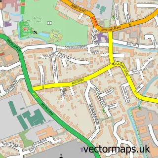
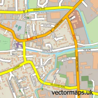
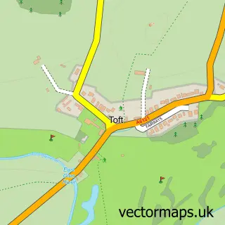
This Bourne street map is a detailed vector street map covering a 750m x 750m area. Select a larger area to create and download your own vector street map of Bourne.
The 750-metre map sample for Bourne covers 403 mapped buildings and approximately 15.1 km of road detail, of which 38 named roads are named. The immediate area includes 1 GP surgery, with 2 within 2 miles, 9 pubs and 5 MOT stations within 2 miles. The wider area around Bourne features 9 tourism points of interest, 27 food and drink venues and 2 hotels. To create a larger or custom map of Bourne, the map builder lets you define your own coverage area and download editable SVG, PDF and PNG files.
Create a larger editable map of Bourne
Choose any area you need and generate a high-quality vector map instantly. Perfect for print, planning, design, business and personal use.

This Bourne street map in Lincolnshire is available as downloadable SVG, PDF and PNG map files, or as a printed map for planning, business, display, education, local information and design work. You can also create a larger custom map area using the map selector.
What this Bourne map sample shows
Bourne lies within Bourne Cp parish, part of Bourne West ward in the South Kesteven District local authority area. The postcode geography for this area includes the PE postcode area, the PE10 postcode district and the PE10 9 postcode sector. Residents fall under the Nhs Lincolnshire Integrated Care Board for NHS services.
Local features near Bourne
Within 2 milesAmenities and services in and around Bourne.
Administrative and postcode information for Bourne
Bourne lies within Bourne Cp parish, part of Bourne West ward in the South Kesteven District local authority area. The postcode geography for this area includes the PE postcode area, the PE10 postcode district and the PE10 9 postcode sector. Residents fall under the Nhs Lincolnshire Integrated Care Board for NHS services.
Nearby street map samples around Bourne

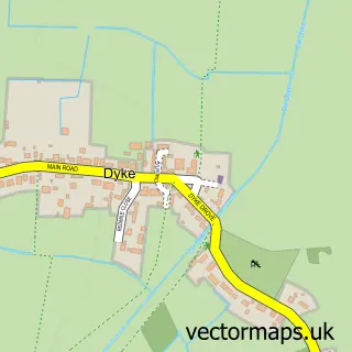
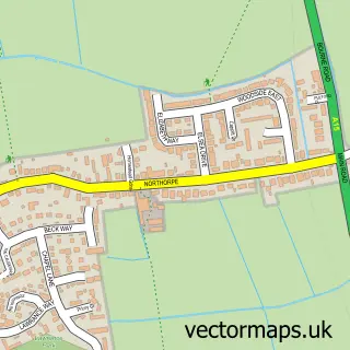
More street maps in Lincolnshire
750 metre map area coverage
Boundary, postcode and point of interest information for the 750m x 750m rectangle centred on this sample map.
Boundaries containing map centre
Constituency: Grantham and Bourne Co Const
County: Lincolnshire County
District: South Kesteven District
Icb: NHS Lincolnshire ICB
Parish: Bourne CP
Police Force: lincolnshire
Postcode District: PE10
Postcode Sector: PE10 9
Ward: Bourne East Ward
Nearby boundaries intersecting sample
Ward: Bourne Austerby Ward, Bourne West Ward
Postcode coverage
POI category counts
Beauty Salon: 19
Hair Salon: 12
Professional Services: 10
Convenience Store: 9
Pub: 9
Flowers And Gifts Shop: 8
Real Estate Agent: 8
Cafe: 7
Coffee Shop: 7
Barber: 6
Sample points of interest
- Accountancy Consultants East
- Figurehead Accounts
- Nettl of Bourne
- Jo Sunner
- Bourne Abbey and Parish Church
- Three Counties Dog Rescue Shop
- British Red Cross
- Unique and Chic
- Kokoni Creative Workshops
- Paint A Pot Place
- Stringers Home Decorating Centre
- The Craft Centre
Create a larger editable map of Bourne
This sample shows only a 750 metre area. To create a larger map of Bourne, use our map builder to choose your own coverage area, add titles and download editable SVG, PDF and PNG files.
Create a custom map of Bourne