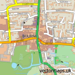
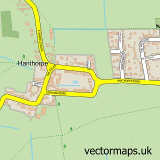
This Austerby street map is a detailed vector street map covering a 750m x 750m area. Select a larger area to create and download your own vector street map of Austerby.
The 750-metre map sample for Austerby covers 566 mapped buildings and approximately 15.4 km of road detail, of which 37 named roads are named. The immediate area includes 1 primary school and 1 secondary school, 2 GP surgeries within 2 miles and 1 MOT station, with 5 within 2 miles. The wider area around Austerby features 1 tourism point of interest. To create a larger or custom map of Austerby, the map builder lets you define your own coverage area and download editable SVG, PDF and PNG files.
Create a larger editable map of Austerby
Choose any area you need and generate a high-quality vector map instantly. Perfect for print, planning, design, business and personal use.

This Austerby street map in Lincolnshire is available as downloadable SVG, PDF and PNG map files, or as a printed map for planning, business, display, education, local information and design work. You can also create a larger custom map area using the map selector.
What this Austerby map sample shows
Austerby lies within Bourne Cp parish, part of Bourne West ward in the South Kesteven District local authority area. The postcode geography for this area includes the PE postcode area, the PE10 postcode district and the PE10 9 postcode sector. Residents fall under the Nhs Lincolnshire Integrated Care Board for NHS services.
Local features near Austerby
Within 2 milesAmenities and services in and around Austerby.
Administrative and postcode information for Austerby
Austerby lies within Bourne Cp parish, part of Bourne West ward in the South Kesteven District local authority area. The postcode geography for this area includes the PE postcode area, the PE10 postcode district and the PE10 9 postcode sector. Residents fall under the Nhs Lincolnshire Integrated Care Board for NHS services.
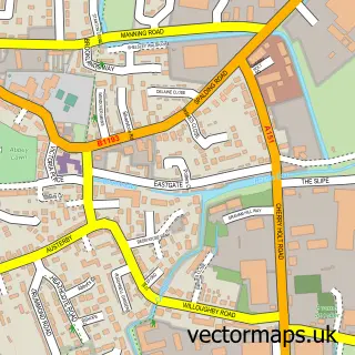
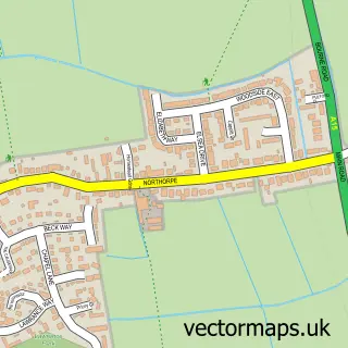
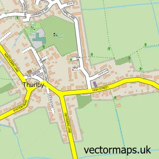
Nearby street map samples around Austerby

More street maps in Lincolnshire
750 metre map area coverage
Boundary, postcode and point of interest information for the 750m x 750m rectangle centred on this sample map.
Boundaries containing map centre
Constituency: Grantham and Bourne Co Const
County: Lincolnshire County
District: South Kesteven District
Icb: NHS Lincolnshire ICB
Parish: Bourne CP
Police Force: lincolnshire
Postcode District: PE10
Postcode Sector: PE10 9
Ward: Bourne Austerby Ward
Nearby boundaries intersecting sample
Postcode Sector: PE10 0
Ward: Bourne East Ward
Postcode coverage
POI category counts
Assisted Living Facility: 3
Agricultural Service: 2
Beauty Salon: 2
Building Supply Store: 2
Elementary School: 2
Energy Equipment And Solution: 2
Industrial Equipment: 2
Rental Kiosks: 2
Retirement Home: 2
Roofing: 2
Sample points of interest
- Team Madison
- Martin Lishman Ltd
- OPICO
- Bourne Abbey and Parish Church
- Barchester - The Cedars Care Home (Bourne)
- Heritage Care
- Worth Court
- Golding Young & Mawer
- Hand Car Wash South Street
- Car Tunes
- Bourne2Bake - Call Us on 07599 255646
- Kosmo Hair Salon
Create a larger editable map of Austerby
This sample shows only a 750 metre area. To create a larger map of Austerby, use our map builder to choose your own coverage area, add titles and download editable SVG, PDF and PNG files.
Create a custom map of Austerby