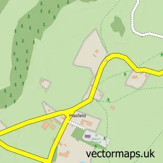
This Hartpury street map is a detailed vector street map covering a 750m x 750m area. Select a larger area to create and download your own vector street map of Hartpury.
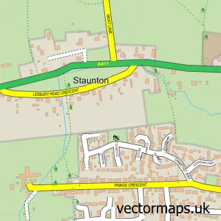
The 750-metre map sample for Hartpury covers 166 mapped buildings and approximately 23.0 km of road detail, of which 9 named roads are named. The immediate area includes 1 school and 1 pub. The wider area around Hartpury features 1 food and drink venue. To create a larger or custom map of Hartpury, the map builder lets you define your own coverage area and download editable SVG, PDF and PNG files.
Create a larger editable map of Hartpury
Choose any area you need and generate a high-quality vector map instantly. Perfect for print, planning, design, business and personal use.

This Hartpury street map in Gloucestershire is available as downloadable SVG, PDF and PNG map files, or as a printed map for planning, business, display, education, local information and design work. You can also create a larger custom map area using the map selector.
What this Hartpury map sample shows
Hartpury lies within Hartpury Cp parish, part of Hartpury & Redmarley ward in the Forest Of Dean District local authority area. The postcode geography for this area includes the GL postcode area, the GL19 postcode district and the GL19 3 postcode sector. Residents fall under the Nhs Gloucestershire Integrated Care Board for NHS services.
Local features near Hartpury
Within 2 milesAmenities and services in and around Hartpury.
Administrative and postcode information for Hartpury
Hartpury lies within Hartpury Cp parish, part of Hartpury & Redmarley ward in the Forest Of Dean District local authority area. The postcode geography for this area includes the GL postcode area, the GL19 postcode district and the GL19 3 postcode sector. Residents fall under the Nhs Gloucestershire Integrated Care Board for NHS services.
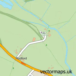
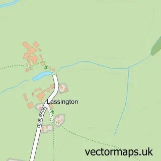
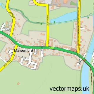
Nearby street map samples around Hartpury

More street maps in Gloucestershire
750 metre map area coverage
Boundary, postcode and point of interest information for the 750m x 750m rectangle centred on this sample map.
Boundaries containing map centre
Constituency: Forest of Dean Co Const
County: Gloucestershire County
District: Forest of Dean District
Icb: NHS Gloucestershire ICB
Parish: Hartpury CP
Police Force: gloucestershire
Postcode District: GL19
Postcode Sector: GL19 3
Ward: Hartpury & Redmarley Ward
Nearby boundaries intersecting sample
District: Tewkesbury District (B)
Parish: Ashleworth CP, Maisemore CP
Postcode Sector: GL19 4
Ward: Highnam with Haw Bridge Ward
Postcode coverage
POI category counts
Veterinarian: 2
Business Consulting: 1
Doctor: 1
Elementary School: 1
Hair Salon: 1
Home Cleaning: 1
Makeup Artist: 1
Massage Therapy: 1
Printing Services: 1
Pub: 1
Sample points of interest
- Rubicon Change
- Hartpury Health
- Hartpury Church of England Primary School
- Ivy Eco-Salon
- Hartpury Rug Cleaning
- Jody Hill MUA and Beauty
- Dogs Body Canine Massage Therapy
- Kings Stanley Village Hall
- The Royal Exchange
- Video Links International
- Hartpury Equine Therapy and Veterinary Centre
- Sundean Veterinary Group - Hartpury
Create a larger editable map of Hartpury
This sample shows only a 750 metre area. To create a larger map of Hartpury, use our map builder to choose your own coverage area, add titles and download editable SVG, PDF and PNG files.
Create a custom map of Hartpury