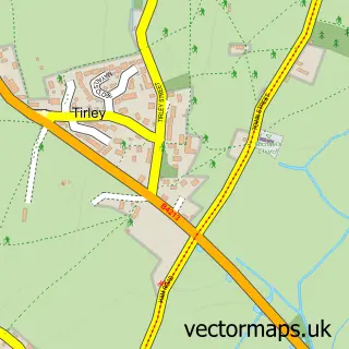
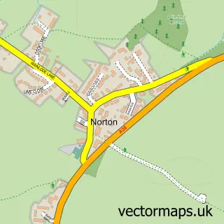
This Ashleworth street map is a detailed vector street map covering a 750m x 750m area. Select a larger area to create and download your own vector street map of Ashleworth.
The 750-metre map sample for Ashleworth covers 217 mapped buildings and approximately 29.1 km of road detail, of which 11 named roads are named. The immediate area includes 1 school. The wider area around Ashleworth features 1 food and drink venue. To create a larger or custom map of Ashleworth, the map builder lets you define your own coverage area and download editable SVG, PDF and PNG files.
Create a larger editable map of Ashleworth
Choose any area you need and generate a high-quality vector map instantly. Perfect for print, planning, design, business and personal use.

This Ashleworth street map in Gloucestershire is available as downloadable SVG, PDF and PNG map files, or as a printed map for planning, business, display, education, local information and design work. You can also create a larger custom map area using the map selector.
What this Ashleworth map sample shows
Ashleworth lies within Ashleworth Cp parish, part of Highnam With Haw Bridge ward in the Tewkesbury District (B) local authority area. The postcode geography for this area includes the GL postcode area, the GL19 postcode district and the GL19 4 postcode sector. Residents fall under the Nhs Gloucestershire Integrated Care Board for NHS services.
Local features near Ashleworth
Within 2 milesAmenities and services in and around Ashleworth.
Administrative and postcode information for Ashleworth
Ashleworth lies within Ashleworth Cp parish, part of Highnam With Haw Bridge ward in the Tewkesbury District (B) local authority area. The postcode geography for this area includes the GL postcode area, the GL19 postcode district and the GL19 4 postcode sector. Residents fall under the Nhs Gloucestershire Integrated Care Board for NHS services.
Nearby street map samples around Ashleworth

More street maps in Gloucestershire
750 metre map area coverage
Boundary, postcode and point of interest information for the 750m x 750m rectangle centred on this sample map.
Boundaries containing map centre
Constituency: Forest of Dean Co Const
County: Gloucestershire County
District: Tewkesbury District (B)
Icb: NHS Gloucestershire ICB
Parish: Ashleworth CP
Police Force: gloucestershire
Postcode District: GL19
Postcode Sector: GL19 4
Ward: Highnam with Haw Bridge Ward
Nearby boundaries intersecting sample
No additional intersecting boundaries found.
Postcode coverage
POI category counts
Elementary School: 2
Post Office: 2
Accountant: 1
Auto Body Shop: 1
Beauty And Spa: 1
Cafe: 1
Grocery Store: 1
Metal Supplier: 1
Public Health Clinic: 1
Supermarket: 1
Sample points of interest
- Book N' Accounts
- DB Smart Repairs Ltd
- Cotswold Cosmetics
- Ashleworth Hub
- Ashleworth C of E Primary School
- Ashleworth CE Primary School
- Ashleworth village shop and post office
- E B Hayward & Co
- Ashleworth Post Office
- Memorial Hall & Post Office
- Cotswold Cosmetics
- Ashleworth Hub
Create a larger editable map of Ashleworth
This sample shows only a 750 metre area. To create a larger map of Ashleworth, use our map builder to choose your own coverage area, add titles and download editable SVG, PDF and PNG files.
Create a custom map of Ashleworth