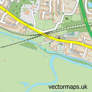
This Hixon street map is a detailed vector street map covering a 750m x 750m area. Select a larger area to create and download your own vector street map of Hixon.
The 750-metre map sample for Hixon covers 361 mapped buildings and approximately 23.3 km of road detail, of which 32 named roads are named. The immediate area includes 1 pub and 1 MOT station within 2 miles. The wider area around Hixon features 3 tourism points of interest and 1 food and drink venue. To create a larger or custom map of Hixon, the map builder lets you define your own coverage area and download editable SVG, PDF and PNG files.
Create a larger editable map of Hixon
Choose any area you need and generate a high-quality vector map instantly. Perfect for print, planning, design, business and personal use.

This Hixon street map in Staffordshire is available as downloadable SVG, PDF and PNG map files, or as a printed map for planning, business, display, education, local information and design work. You can also create a larger custom map area using the map selector.
What this Hixon map sample shows
Hixon lies within Hixon Cp parish, part of Haywood & Hixon ward in the Stafford District (B) local authority area. The postcode geography for this area includes the ST postcode area, the ST18 postcode district and the ST18 0 postcode sector. Residents fall under the Nhs Staffordshire And Stoke-On-Trent Integrated Care Board for NHS services.
Local features near Hixon
Within 2 milesAmenities and services in and around Hixon.
Administrative and postcode information for Hixon
The local authority covering Hixon is Stafford District (B), within the county of Staffordshire. The settlement lies within Haywood & Hixon ward and Hixon Cp civil parish. The ST18 postcode district and ST18 0 postcode sector serve the immediate area. NHS provision in the area is delivered through University Hospitals Of North Midlands Nhs Trust.
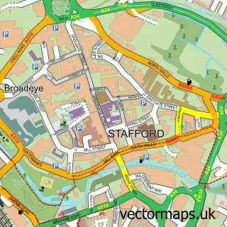
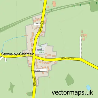
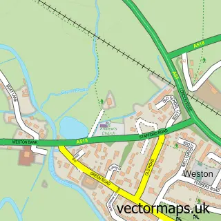
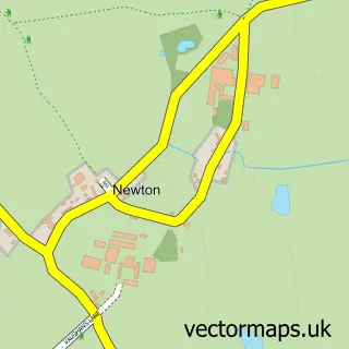
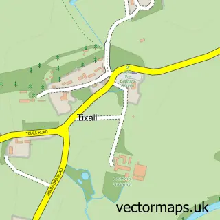
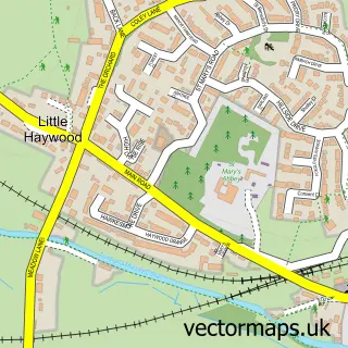
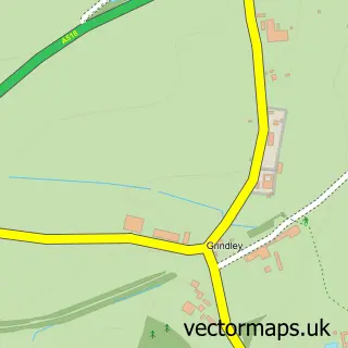
Nearby street map samples around Hixon

More street maps in Staffordshire
750 metre map area coverage
Boundary, postcode and point of interest information for the 750m x 750m rectangle centred on this sample map.
Boundaries containing map centre
Constituency: Stone, Great Wyrley and Penkridge Co Const
County: Staffordshire County
District: Stafford District (B)
Icb: NHS Staffordshire and Stoke-on-Trent ICB
Parish: Hixon CP
Police Force: staffordshire
Postcode District: ST18
Postcode Sector: ST18 0
Ward: Haywood & Hixon Ward
Nearby boundaries intersecting sample
No additional intersecting boundaries found.
Postcode coverage
POI category counts
Convenience Store: 2
Driving School: 2
Hair Salon: 2
Park: 2
Pet Groomer: 2
Pet Services: 2
Barber: 1
Beauty Salon: 1
Business Management Services: 1
Chinese Restaurant: 1
Sample points of interest
- Chopshop Barbers
- ABHair
- Post Office-Hixon
- Hixon Chinese Takeaway
- Hixon Memorial Hall
- Co-op Food
- Morrisons Daily
- Hixon Haywoods Dog Walking, Pet Visits, and Pet Sitting Services
- Red Driving Instructor
- Signal Driver Training
- A D Electrical Services Midlands Ltd
- A Spark, a Flame, a Fire
Create a larger editable map of Hixon
This sample shows only a 750 metre area. To create a larger map of Hixon, use our map builder to choose your own coverage area, add titles and download editable SVG, PDF and PNG files.
Create a custom map of Hixon