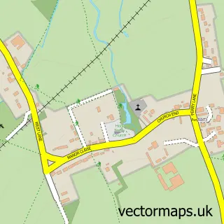
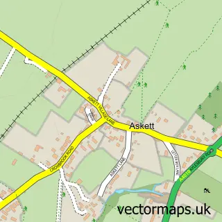
This Horsenden street map is a detailed vector street map covering a 750m x 750m area. Select a larger area to create and download your own vector street map of Horsenden.
The 750-metre map sample for Horsenden covers 37 mapped buildings and approximately 5.8 km of road detail, of which 1 named road are named. The immediate area includes 2 GP surgeries within 2 miles and 4 MOT stations within 2 miles. The wider area around Horsenden features 1 tourism point of interest. To create a larger or custom map of Horsenden, the map builder lets you define your own coverage area and download editable SVG, PDF and PNG files.
Create a larger editable map of Horsenden
Choose any area you need and generate a high-quality vector map instantly. Perfect for print, planning, design, business and personal use.

This Horsenden street map in Buckinghamshire is available as downloadable SVG, PDF and PNG map files, or as a printed map for planning, business, display, education, local information and design work. You can also create a larger custom map area using the map selector.
What this Horsenden map sample shows
Horsenden lies within Bledlow-Cum-Saunderton Cp parish, part of Bledlow And Bradenham ward in the Buckinghamshire local authority area. The postcode geography for this area includes the HP postcode area, the HP27 postcode district and the HP27 9 postcode sector. Residents fall under the Nhs Buckinghamshire, Oxfordshire And Berkshire West Integrated Care Board for NHS services.
Local features near Horsenden
Within 2 milesAmenities and services in and around Horsenden.
Administrative and postcode information for Horsenden
Horsenden lies within Bledlow-Cum-Saunderton Cp parish, part of Bledlow And Bradenham ward in the Buckinghamshire local authority area. The postcode geography for this area includes the HP postcode area, the HP27 postcode district and the HP27 9 postcode sector. Residents fall under the Nhs Buckinghamshire, Oxfordshire And Berkshire West Integrated Care Board for NHS services.
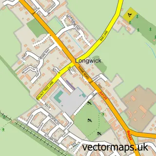
Nearby street map samples around Horsenden


More street maps in Buckinghamshire
750 metre map area coverage
Boundary, postcode and point of interest information for the 750m x 750m rectangle centred on this sample map.
Boundaries containing map centre
Constituency: Mid Buckinghamshire Co Const
District: Buckinghamshire
Icb: NHS Thames Valley ICB
Parish: Longwick-cum-Ilmer CP
Police Force: thames valley
Postcode District: HP27
Postcode Sector: HP27 9
Ward: Princes Risborough Ward
Nearby boundaries intersecting sample
Parish: Bledlow-cum-Saunderton CP, Princes Risborough CP
Ward: Ridgeway West Ward
Postcode coverage
POI category counts
Automotive: 2
Engineering Services: 2
Furniture Store: 2
Anglican Church: 1
Automotive Services And Repair: 1
Beauty And Spa: 1
Business Manufacturing And Supply: 1
Community Services Non Profits: 1
Furniture Manufacturers: 1
Gym: 1
Sample points of interest
- Horsenden: St Michael & All Angels
- GKL Car & Van Rental
- GKL Leasing - GKL Car & Van Hire
- Avatu
- The Cosmetic Centre
- Molins Tobacco Machinery
- Association for Project Management
- WGA Industrial Control
- iLECSYS Rail Ltd.
- L.Ercolani
- Ercol Furniture
- ercol
Create a larger editable map of Horsenden
This sample shows only a 750 metre area. To create a larger map of Horsenden, use our map builder to choose your own coverage area, add titles and download editable SVG, PDF and PNG files.
Create a custom map of Horsenden