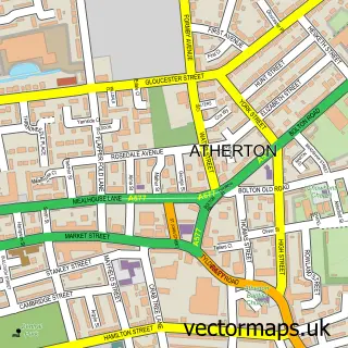
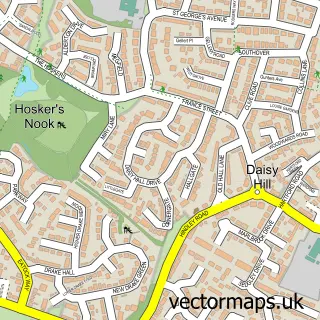
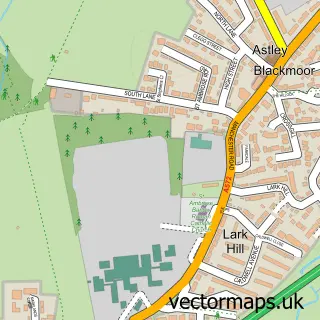
This Howe Bridge street map is a detailed vector street map covering a 750m x 750m area. Select a larger area to create and download your own vector street map of Howe Bridge.
The 750-metre map sample for Howe Bridge covers 360 mapped buildings and approximately 14.4 km of road detail, of which 44 named roads are named. The immediate area includes 1 school, 16 GP surgeries within 2 miles, 2 pubs and 2 MOT stations, with 25 within 2 miles. The wider area around Howe Bridge features 1 tourism point of interest and 2 food and drink venues. To create a larger or custom map of Howe Bridge, the map builder lets you define your own coverage area and download editable SVG, PDF and PNG files.
Create a larger editable map of Howe Bridge
Choose any area you need and generate a high-quality vector map instantly. Perfect for print, planning, design, business and personal use.

This Howe Bridge street map in Greater Manchester is available as downloadable SVG, PDF and PNG map files, or as a printed map for planning, business, display, education, local information and design work. You can also create a larger custom map area using the map selector.
What this Howe Bridge map sample shows
Howe Bridge lies within Wigan District (B) parish, part of Atherton ward in the Wigan District (B) local authority area. The postcode geography for this area includes the M postcode area, the M46 postcode district and the M46 0 postcode sector. Residents fall under the Nhs Greater Manchester Integrated Care Board for NHS services.
Local features near Howe Bridge
Within 2 milesAmenities and services in and around Howe Bridge.
Administrative and postcode information for Howe Bridge
Howe Bridge lies within Wigan District (B) parish, part of Atherton ward in the Wigan District (B) local authority area. The postcode geography for this area includes the M postcode area, the M46 postcode district and the M46 0 postcode sector. Residents fall under the Nhs Greater Manchester Integrated Care Board for NHS services.
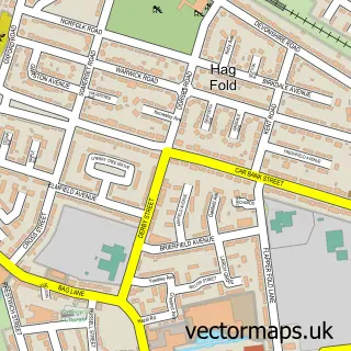
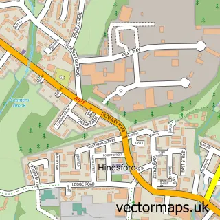
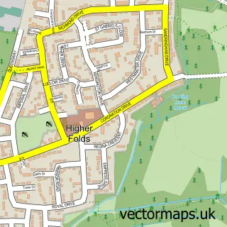
Nearby street map samples around Howe Bridge

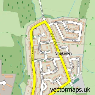
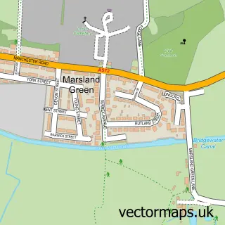
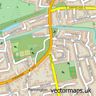
More street maps in Greater Manchester
750 metre map area coverage
Boundary, postcode and point of interest information for the 750m x 750m rectangle centred on this sample map.
Boundaries containing map centre
Constituency: Leigh and Atherton Boro Const
District: Wigan District (B)
Icb: NHS Greater Manchester ICB
Police Force: greater manchester
Postcode District: M46
Postcode Sector: M46 0
Ward: Atherton South & Lilford Ward
Nearby boundaries intersecting sample
No additional intersecting boundaries found.
Postcode coverage
POI category counts
Driving School: 3
Automotive Repair: 2
Beauty Salon: 2
Business Consulting: 2
Elementary School: 2
Martial Arts Club: 2
Printing Services: 2
Pub: 2
Scout Hall: 2
Sports And Recreation Venue: 2
Sample points of interest
- St Michael and All Angels Church
- Jordans Family Xmas Lights
- Bardsleys Garage & Recovery
- Sprint Motors
- Lovers Lane Garage
- Village Club Atherton
- Smiths Bar and Grill Atherton
- Jodie Nicole Aesthetics
- Perfect 10 - Acrylic Nails & Beauty
- The HSQE Partnership Ltd.
- The Hsqe Partnership Ltd. Manchester Office
- Costcutter
Create a larger editable map of Howe Bridge
This sample shows only a 750 metre area. To create a larger map of Howe Bridge, use our map builder to choose your own coverage area, add titles and download editable SVG, PDF and PNG files.
Create a custom map of Howe Bridge