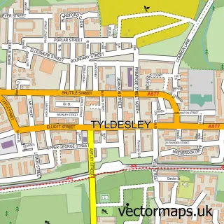
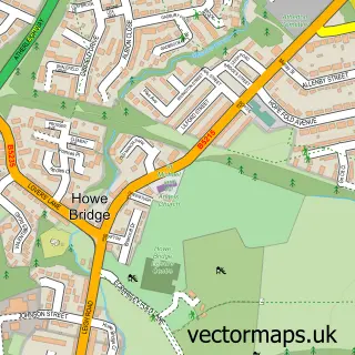
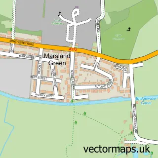
This Shakerley street map is a detailed vector street map covering a 750m x 750m area. Select a larger area to create and download your own vector street map of Shakerley.
The 750-metre map sample for Shakerley covers 359 mapped buildings and approximately 9.7 km of road detail, of which 20 named roads are named. The immediate area includes 11 GP surgeries within 2 miles, 1 pub and 16 MOT stations within 2 miles. The wider area around Shakerley features 4 tourism points of interest and 4 food and drink venues. To create a larger or custom map of Shakerley, the map builder lets you define your own coverage area and download editable SVG, PDF and PNG files.
Create a larger editable map of Shakerley
Choose any area you need and generate a high-quality vector map instantly. Perfect for print, planning, design, business and personal use.

This Shakerley street map in Greater Manchester is available as downloadable SVG, PDF and PNG map files, or as a printed map for planning, business, display, education, local information and design work. You can also create a larger custom map area using the map selector.
What this Shakerley map sample shows
Shakerley lies within Wigan District (B) parish, part of Tyldesley ward in the Wigan District (B) local authority area. The postcode geography for this area includes the M postcode area, the M29 postcode district and the M29 8 postcode sector. Residents fall under the Nhs Greater Manchester Integrated Care Board for NHS services.
Local features near Shakerley
Within 2 milesAmenities and services in and around Shakerley.
Administrative and postcode information for Shakerley
The local authority covering Shakerley is Wigan District (B), within the county of Greater Manchester. The settlement lies within Tyldesley ward and Wigan District (B) civil parish. The M29 postcode district and M29 8 postcode sector serve the immediate area. NHS provision in the area is delivered through Bolton Nhs Foundation Trust.
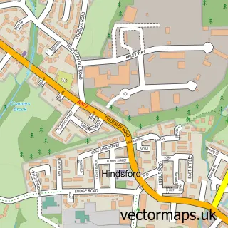
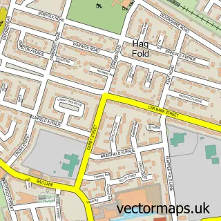
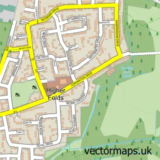
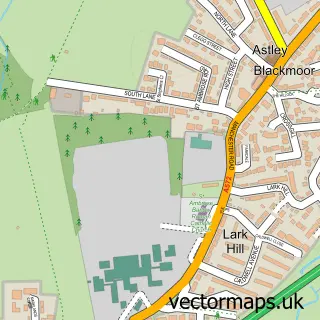
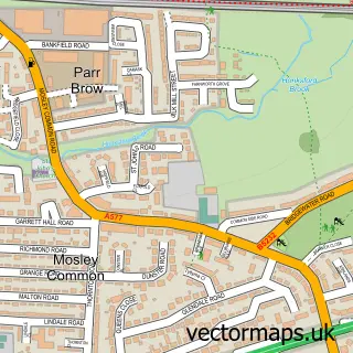
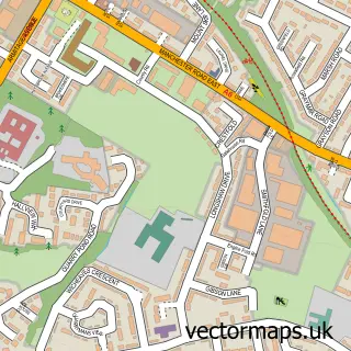
Nearby street map samples around Shakerley

More street maps in Greater Manchester
750 metre map area coverage
Boundary, postcode and point of interest information for the 750m x 750m rectangle centred on this sample map.
Boundaries containing map centre
Constituency: Leigh and Atherton Boro Const
District: Wigan District (B)
Icb: NHS Greater Manchester ICB
Police Force: greater manchester
Postcode District: M29
Postcode Sector: M29 8
Ward: Tyldesley & Mosley Common Ward
Nearby boundaries intersecting sample
Postcode District: M46
Postcode Sector: M46 9
Ward: Atherton North Ward, Atherton South & Lilford Ward
Postcode coverage
POI category counts
Atms: 2
Auto Body Shop: 2
Cafe: 2
Caterer: 2
Landmark And Historical Building: 2
Amusement Park: 1
Attractions And Activities: 1
Automotive Parts And Accessories: 1
Cleaning Services: 1
Community Center: 1
Sample points of interest
- Traditionalfunfair
- 4 U Cash & Carry, Tyldesley
- Payzone
- Shakerley Common
- Sprayworx Ltd
- The Sprayshed Ltd
- TB Auto-Parts Howebridge Salvage
- Food Fix Container Cafe Atherton
- Spicy Ginger Tyldesley
- Paxton's Catering
- Paxton's Catering and Events
- Diamond Duo Cleaning
Create a larger editable map of Shakerley
This sample shows only a 750 metre area. To create a larger map of Shakerley, use our map builder to choose your own coverage area, add titles and download editable SVG, PDF and PNG files.
Create a custom map of Shakerley