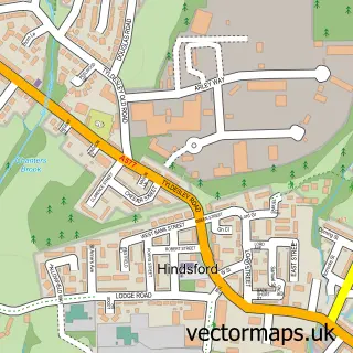
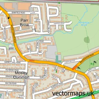
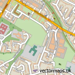
This Tyldesley street map is a detailed vector street map covering a 750m x 750m area. Select a larger area to create and download your own vector street map of Tyldesley.
The 750-metre map sample for Tyldesley covers 331 mapped buildings and approximately 25.2 km of road detail, of which 67 named roads are named. The immediate area includes 2 schools, 3 GP surgeries, with 11 within 2 miles, 11 pubs and 2 MOT stations, with 15 within 2 miles. The wider area around Tyldesley features 5 tourism points of interest and 19 food and drink venues. To create a larger or custom map of Tyldesley, the map builder lets you define your own coverage area and download editable SVG, PDF and PNG files.
Create a larger editable map of Tyldesley
Choose any area you need and generate a high-quality vector map instantly. Perfect for print, planning, design, business and personal use.

This Tyldesley street map in Greater Manchester is available as downloadable SVG, PDF and PNG map files, or as a printed map for planning, business, display, education, local information and design work. You can also create a larger custom map area using the map selector.
What this Tyldesley map sample shows
Tyldesley lies within Wigan District (B) parish, part of Tyldesley ward in the Wigan District (B) local authority area. The postcode geography for this area includes the M postcode area, the M29 postcode district and the M29 8 postcode sector. Residents fall under the Nhs Greater Manchester Integrated Care Board for NHS services.
Local features near Tyldesley
Within 2 milesAmenities and services in and around Tyldesley.
Administrative and postcode information for Tyldesley
Tyldesley lies within Wigan District (B) parish, part of Tyldesley ward in the Wigan District (B) local authority area. The postcode geography for this area includes the M postcode area, the M29 postcode district and the M29 8 postcode sector. Residents fall under the Nhs Greater Manchester Integrated Care Board for NHS services.
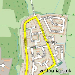
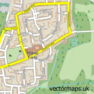
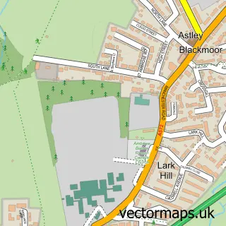
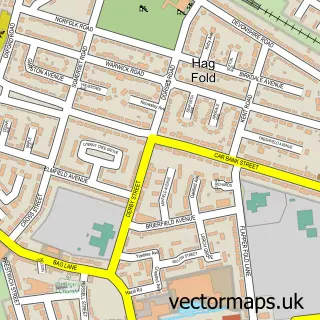
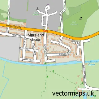
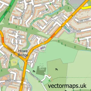
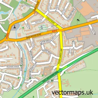
Nearby street map samples around Tyldesley

More street maps in Greater Manchester
750 metre map area coverage
Boundary, postcode and point of interest information for the 750m x 750m rectangle centred on this sample map.
Boundaries containing map centre
Constituency: Leigh and Atherton Boro Const
District: Wigan District (B)
Icb: NHS Greater Manchester ICB
Police Force: greater manchester
Postcode District: M29
Postcode Sector: M29 8
Ward: Tyldesley & Mosley Common Ward
Nearby boundaries intersecting sample
Postcode Sector: M29 7
Ward: Astley Ward
Postcode coverage
POI category counts
Clothing Store: 11
Pub: 11
Beauty Salon: 10
Automotive Repair: 7
Building Supply Store: 7
Real Estate Agent: 7
Chinese Restaurant: 6
Beauty And Spa: 5
Doctor: 5
Flowers And Gifts Shop: 5
Sample points of interest
- GreenRhino HolidayLets
- C J Roberts & Partners
- C J Roberts and Partners
- Fosters Accountants
- Liberty Promotions
- Regal Marketing International Ltd
- The Parish of St George Tyldesley
- Alterations 4 Suzanne
- Beswicks D I Y
- Pulse Entertainments
- Stage Stars Academy
- The Black Horse
Create a larger editable map of Tyldesley
This sample shows only a 750 metre area. To create a larger map of Tyldesley, use our map builder to choose your own coverage area, add titles and download editable SVG, PDF and PNG files.
Create a custom map of Tyldesley